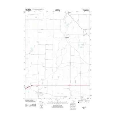
2011 Map of Parma
USGS Topo · Published 2011About this map
Sandstone Creek meanders through this agricultural landscape, providing a primary drainage for the surrounding fields and woodlots in Jackson County. The rural character of the area is punctuated by historical burial grounds, including Fairview Cemetery and Upton Cemetery, which reflect generations of local settlement. In the south, the village of Parma serves as a small hub, anchored by the Parma Post Office and bordered by the Parma Cemetery.
Find a feature on this map
68 named features on this map. Tap any name to fly to it.
Don’t see what you’re looking for? This feature index may not catch every label — zoom into the map to look around manually.
Map Details
Editions of this 2011 Parma Map
This is the sole edition of this map. No revisions or reprints were ever made.
Other maps of this area

1919 · Springport
USGS Topo · 1:62,500

1919 · Rives Junction
USGS Topo · 1:62,500

1921 · Rives Junction
USGS Topo · 1:62,500

1921 · Springport
USGS Topo · 1:62,500

1935 · Jackson
USGS Topo · 1:48,000

1939 · Jackson
USGS Topo · 1:62,500

1948 · Spring Arbor
USGS Topo · 1:62,500

1949 · Spring Arbor
USGS Topo · 1:62,500

1958 · Grand Rapids
USGS Topo · 1:250,000

1961 · Grand Rapids
USGS Topo · 1:250,000