
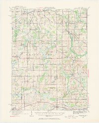
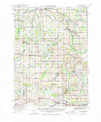
1919 Map of Springport
USGS Topo · Published 1958About this map
The Grand River and its numerous tributaries, including Willow Creek and Spring Brook, wind through this landscape of southern Michigan. The 1919 terrain is defined by a dense network of one-room schoolhouses such as Bondy School, Knight School, and the Quaker School, illustrating the decentralized rural education system of the early twentieth century. Several historic thoroughfares intersect the region, notably the Old Plank Road and the Chicago Road, which served as vital corridors for early settlement and commerce before the modern highway system was fully established.
Find a feature on this map
95 named features on this map. Tap any name to fly to it.
Don’t see what you’re looking for? This feature index may not catch every label — zoom into the map to look around manually.
Map Details
Editions of this 1919 Springport Map
3 editions found
Other maps of this area

1909 · Mason
USGS Topo · 1:62,500

1910 · Lansing
USGS Topo · 1:62,500

1911 · Mason
USGS Topo · 1:62,500

1912 · Lansing
USGS Topo · 1:62,500

1919 · Rives Junction
USGS Topo · 1:62,500

1921 · Rives Junction
USGS Topo · 1:62,500

1921 · Springport
USGS Topo · 1:62,500

1921 · Marshall
USGS Topo · 1:62,500

1923 · Marshall
USGS Topo · 1:62,500

1935 · Jackson
USGS Topo · 1:48,000