
1911 Map of Mason
USGS Topo · Published 1911About this map
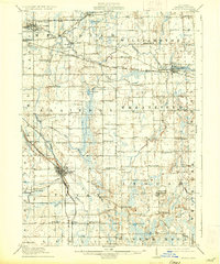
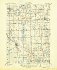
Michigan Agricultural College serves as a prominent landmark on the outskirts of East Lansing, anchoring a landscape defined by its transition from educational and administrative centers to rural school districts. The rail network of the early 1900s is intricately detailed, showing the Michigan Central RR (Saginaw Division) and the Pere Marquette RR intersecting at key points like Mason, while the Lansing and Pine Lake Electric line illustrates the era's interurban transit. Beyond the larger towns of Williamston and Dansville, the map reveals an incredibly dense network of rural schoolhouses, such as White Dog School, Fuller School, and Champion School, reflecting the decentralized educational structure of Ingham County before mid-century consolidation. Natural features like Pine Lake and the winding course of the Cedar River frame these small agrarian communities.
Find a feature on this map
92 named features on this map. Tap any name to fly to it.
Don’t see what you’re looking for? This feature index may not catch every label — zoom into the map to look around manually.
Map Details
Editions of this 1911 Mason Map
3 editions found
Other maps of this area

1908 · Fowlerville
USGS Topo · 1:62,500

1909 · Mason
USGS Topo · 1:62,500

1910 · Fowlerville
USGS Topo · 1:62,500

1910 · Lansing
USGS Topo · 1:62,500

1912 · Lansing
USGS Topo · 1:62,500

1919 · Stockbridge
USGS Topo · 1:62,500

1919 · Springport
USGS Topo · 1:62,500

1919 · Rives Junction
USGS Topo · 1:62,500

1921 · Rives Junction
USGS Topo · 1:62,500

1921 · Springport
USGS Topo · 1:62,500