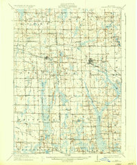
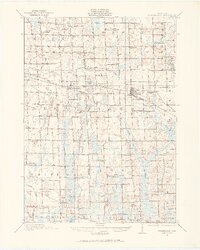
1908 Map of Fowlerville
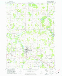
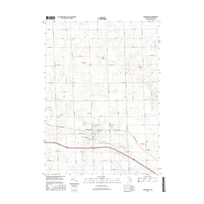
USGS Topo · Published 1962About this map
Fowlerville and Webberville anchor this early twentieth-century landscape, positioned along the vital corridor of the Pere Marquette RR. The surrounding countryside is defined by an exceptionally dense network of one-room schoolhouses, including the curiously named Podunk School, Hogback School, and Dillingham School, illustrating the decentralized nature of rural education at the time. The terrain is marked by the meandering path of the Cedar River and its numerous tributaries, which feed into a mosaic of wetlands and small glacial lakes like Wasson Lake, Lamoreux Lake, and Chase Lake. Small rural communities such as White Oak, Millville, and Iosco serve as local hubs for the farming families whose homesteads are scattered across the townships. This survey reveals a transition in the land, where natural watercourses and marshes like the McMahon Ditch were being increasingly integrated into a more structured agricultural grid.
Find a feature on this map
83 named features on this map. Tap any name to fly to it.
Don’t see what you’re looking for? This feature index may not catch every label — zoom into the map to look around manually.
Map Details
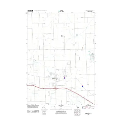
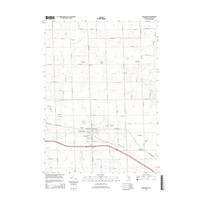
Editions of this 1908 Fowlerville Map
2 editions found
Historical Maps of Marion Township Through Time
8 maps found