1919 Map of Stockbridge
USGS Topo · Published 1958About this map
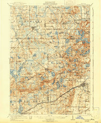
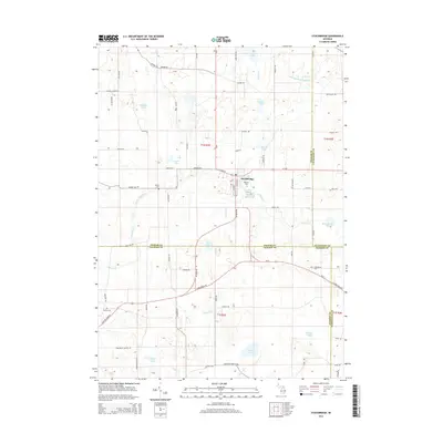
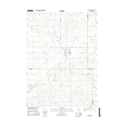
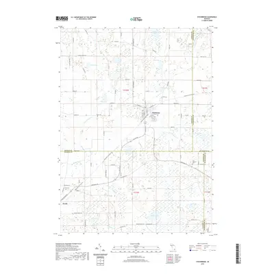
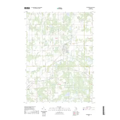
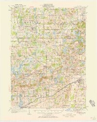
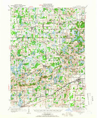
Stockbridge serves as a central hub for this portion of southern Michigan, where the village is positioned at a busy intersection of overland roads and the Grand Trunk railroad. The landscape is heavily marked by its post-glacial character, featuring dozens of named water bodies such as Winnewana Lake and Lyons Lake, alongside prominent elevations like Prospect Hill and Sackrider Hill. The distribution of one-room schoolhouses, including Stilson School, McCall School, and Schenk School, reflects a highly localized rural education system that reached into every corner of the townships.
Find a feature on this map
160 named features on this map. Tap any name to fly to it.
Don’t see what you’re looking for? This feature index may not catch every label — zoom into the map to look around manually.
Map Details
Editions of this 1919 Stockbridge Map
2 editions found
Historical Maps of Putnam Township Through Time
9 maps found