Old Maps of Unadilla Township, Michigan
Explore 35 old maps of Unadilla Township, spanning from 1908 to today. These high-resolution historic maps reveal how streets, neighborhoods, landmarks, and natural features evolved over time — perfect for genealogy, metal detecting, research, and local history exploration.
What you can do with these maps:
- See how Unadilla Township changed over time: Compare historical maps to modern-day views to trace roads, homesites, rail lines & more.
- View detailed metadata: Each map includes creators, publishers, year, scale, and archive source.
- Overlay maps with satellite & LiDAR: Visualize the past alongside modern tools to explore terrain & human change.
- Trusted historical sources: Maps sourced from the USGS, Library of Congress, and other archives.
- Access maps your way: View online, download high-res files, or order prints for personal or research use.
Start exploring old maps of Unadilla Township to uncover forgotten places, hidden landmarks, and the deep history beneath your feet.
Unadilla Township, MI maps
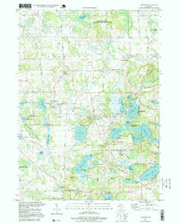
(35)- 1908 Map of Fowlerville, 1962 Print
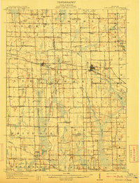
 1908 Fowlerville1962 Print · USGSAgricultural life in Livingston and Ingham counties is documented here in the early twentieth century, centered on the Pere Marquette RR. Trace family roots through an extensive network of rural schools like Podunk School and small crossroads such as Belle Oak and Vantown.2 unique versions available
 - 1910 Map of Fowlerville
 1910 Fowlerville1910 Print · USGSBefore the age of consolidated schools and modern highways, this 1910 survey shows the rural landscape of Ingham and Livingston counties at its peak. Researchers can trace dozens of country schoolhouses like Podunk School and Hogback School alongside the path of the Pere Marquette RR.2 unique versions available
 - 1919 Map of Stockbridge, 1958 Print
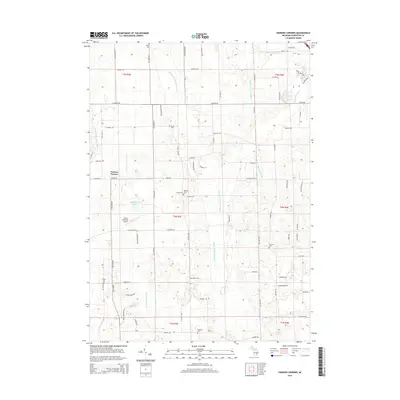
 1919 Stockbridge1958 Print · USGSSouthern Michigan at the end of the Great War is a landscape of rural school districts and expanding rail lines. Genealogists and local historians can locate dozens of country schools like Stilson School, family-named landmarks such as Sackrider Hill, and the rail junction at Bullis Crossing.2 unique versions available
 - 1922 Map of Stockbridge
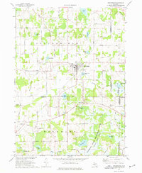
 1922 Stockbridge1922 Print · USGSSoutheastern Michigan at the start of the twenties is a land of rail-connected hamlets and countless country schools. Genealogists can trace family footprints near Stockbridge and Unadilla, or locate rural landmarks like Strobel School and Sylvan Sta.3 unique versions available
 - 1942 Map of Stockbridge, 1943 Print
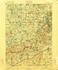
 1942 Stockbridge1943 Print · USGSSouth-central Michigan during the early Forties is revealed here as a landscape of interconnected rail towns and scattered country schoolhouses. Genealogists can locate family landmarks like Livermore School, Mausbach School, and the remote Bullis Crossing Cem near the Grand Trunk line.
 - 1958 Map of Grand Rapids, 1973 Print
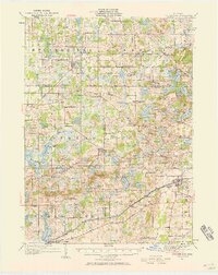
 1958 Grand Rapids1973 Print · USGSSouthern Michigan at the peak of the postwar era shows a landscape of burgeoning cities and new interstate highways. Trace family roots and regional growth in Grand Rapids, Battle Creek, and the glacial lake country around Gun Lake or Gull Lake.2 unique versions available
 - 1961 Map of Grand Rapids
 1961 Grand Rapids1961 Print · USGSSouthern Michigan at the dawn of the 1960s reveals a region shaped by major river systems and a robust rail network. Trace mid-century industrial growth and land use from Grand Rapids to the Fort Custer Military Reservation and Gun Lake.
 - 1962 Map of Grand Rapids
 1962 Grand Rapids1962 Print · USGSMid-century Southern Michigan is mapped here at a time of massive growth, showing the expanding urban footprints of Grand Rapids and Lansing. Researchers can trace the legacy of the Grand Trunk Western RR, find historic boundaries of the Fort Custer Military Reservation, or locate sporting camps around Gun Lake.2 unique versions available
 - 1973 Map of Parkers Corners, 1977 Print
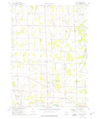
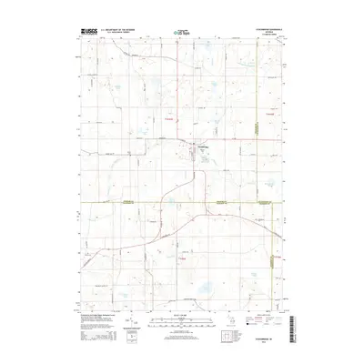
 1973 Parkers Corners1977 Print · USGSLivingston County maintains its quiet agricultural character in the 1970s, as the headwaters of the Red Cedar River wind through rural townships. Researchers can trace family history through numerous landmark burial grounds like Munsell Cem and Harford Cem or locate the small community of Lamoreaux.
 - 1973 Map of Gregory, 1977 Print
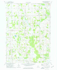
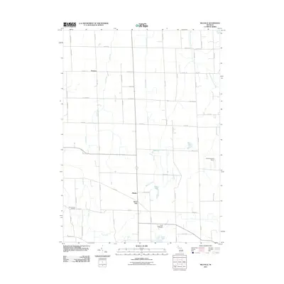
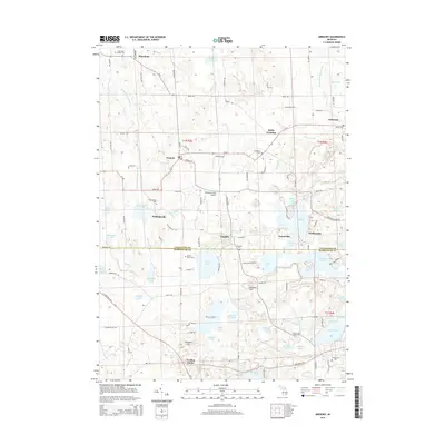
 1973 Gregory1977 Print · USGSLivingston County lake country is captured here in the early 1970s, showcasing a landscape of summer camps and small settlements. Researchers can trace family history at Unadilla Cem, locate the Richmond Airport, or follow the Old RR Grade through the township.3 unique versions available
 - 1973 Map of Millville, 1977 Print
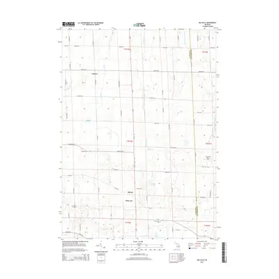
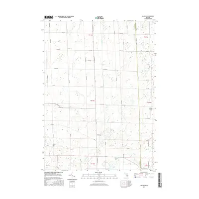
 1973 Millville1977 Print · USGSThe rural Ingham County countryside of the 1970s is preserved here, showing the quiet crossroads and farming tracts before modern development. Researchers can trace family roots at Mount Pleasant Cemetery or locate old community hubs like White Oak and the North Stockbridge Community Church.
 - 1973 Map of Stockbridge, 1977 Print
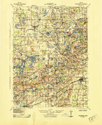
 1973 Stockbridge1977 Print · USGSStockbridge and its glacial lake surroundings are captured here in the early seventies, spanning the borders of Ingham, Livingston, and Jackson Counties. Genealogists and local historians can locate several family-named landmarks and rural burial grounds such as Oaklawn Cem, Munith Cem, and the Old Railroad Grade.
 - 1983 Map of Jackson, 1984 Print
 1983 Jackson1984 Print · USGSJackson and the surrounding lake country are shown in the early eighties as a hub of rail transit and outdoor recreation. Local historians can trace institutional footprints like the State Prison Farm or explore the landscape of Minards Mill and Olivet College.
 - 1983 Map of Lansing, 1984 Print
 1983 Lansing1984 Print · USGSThe Lansing area and its surrounding river valleys are captured here in the early eighties. Genealogists and historians can trace the rail corridors of the Conrail or locate local landmarks like St Johns Ch and Greenwood Cem.
 - 1996 Map of Gregory, 1999 Print
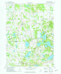
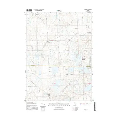
 1996 Gregory1999 Print · USGSThe rural townships of Livingston and Washtenaw counties appear here in the mid-1990s, defined by glacial lakes and public recreation lands. Researchers can trace historic family burial sites at Unadilla Cem, the path of the Old RR Grade, and the quiet hamlets of Gregory and Anderson.
 - 2011 Map of Parkers Corners, 2011 Print
 2011 Parkers Corners2011 Print · USGSCovers Unadilla Township, including Marion Township, Putnam Township, and other nearby areas
 - 2011 Map of Gregory, 2011 Print
 2011 Gregory2011 Print · USGSCovers Unadilla Township, including Putnam Township, Dexter Township, and other nearby areas
 - 2011 Map of Stockbridge, 2011 Print
 2011 Stockbridge2011 Print · USGSCovers Unadilla Township, including Lyndon Township, Stockbridge, and other nearby areas
 - 2011 Map of Millville, 2011 Print
 2011 Millville2011 Print · USGSCovers Unadilla Township, including Handy Township, Iosco Township, and other nearby areas
 - 2014 Map of Stockbridge, 2014 Print
 2014 Stockbridge2014 Print · USGSCovers Unadilla Township, including Lyndon Township, Stockbridge, and other nearby areas
 - 2014 Map of Millville, 2014 Print
 2014 Millville2014 Print · USGSCovers Unadilla Township, including Handy Township, Iosco Township, and other nearby areas
 - 2014 Map of Parkers Corners, 2014 Print
 2014 Parkers Corners2014 Print · USGSCovers Unadilla Township, including Marion Township, Putnam Township, and other nearby areas
 - 2014 Map of Gregory, 2014 Print
 2014 Gregory2014 Print · USGSCovers Unadilla Township, including Putnam Township, Dexter Township, and other nearby areas
 - 2017 Map of Gregory, 2017 Print
 2017 Gregory2017 Print · USGSCovers Unadilla Township, including Putnam Township, Dexter Township, and other nearby areas
 - 2017 Map of Millville, 2017 Print
 2017 Millville2017 Print · USGSCovers Unadilla Township, including Handy Township, Iosco Township, and other nearby areas
Showing maps 1-25 of 35
Top cities near Unadilla Township
- Hamburg Township historical maps
- Genoa Charter Township historical maps
- Scio Township historical maps
- Leoni historical maps
- Oceola Township historical maps
- Howell historical maps
See more
Top neighborhoods of Unadilla Township
- Plainfield historical maps
- Williamsville historical maps
- Bullis Crossing historical maps
- Gregory historical maps
- Kaiserville historical maps
- Unadilla historical maps
Frequently asked questions
- What are the different types of historical maps available for Unadilla Township?
- What is the oldest map of Unadilla Township?
- Where can I purchase historical maps of Unadilla Township for my home or office?
- Where can I download high-res historical maps of Unadilla Township?
- Are there historical topographic maps available for Unadilla Township?
- Is there historical aerial imagery available for Unadilla Township?
- Where are historical maps of Unadilla Township sourced from?