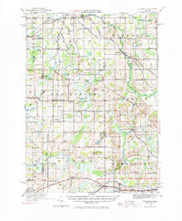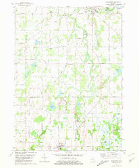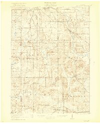
1921 Map of Springport
USGS Topo · Published 1921About this map
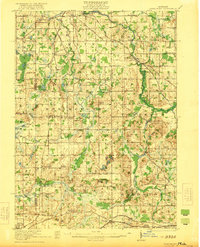
Eaton Rapids and the winding Grand River corridor anchor this 1919 survey, which captures a dense network of early 20th-century rural infrastructure across Jackson, Eaton, Ingham, and Calhoun Counties. The landscape is defined by a high concentration of country schoolhouses, such as Booth School, Sherd School, and the Aunis School, reflecting the era's localized educational system before district consolidation. Transportation is dominated by the Michigan Central Railroad and the New York Central Railroad, with the Grand Rapids Div cutting diagonally through Onondaga. Settlement patterns are clear along the Michigan Road and Base Line, where small hubs like Charlesworth and Springport served as vital rail and agricultural depots. Natural features like Hogback Hill and numerous glacial depressions, including the Montague Lakes and Cistern Lakes, punctuate the farmland between the river and the various branches of Rice Creek.
Find a feature on this map
91 named features on this map. Tap any name to fly to it.
Don’t see what you’re looking for? This feature index may not catch every label — zoom into the map to look around manually.
Map Details
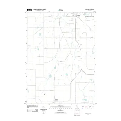
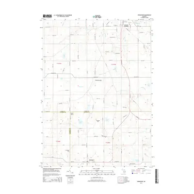
Editions of this 1921 Springport Map
2 editions found
Historical Maps of Albion Through Time
8 maps found