
1923 Map of Marshall
USGS Topo · Published 1923About this map
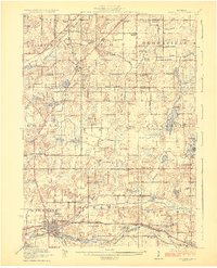
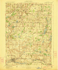
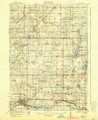
The Kalamazoo River corridor anchors this early 1920s survey of southern Michigan, showing the industrial and agricultural landscape before modern highway development. The city of Marshall and neighboring Albion are depicted as major hubs, connected by the parallel tracks of the Michigan Central Railroad and the Michigan Electric Railway. This interurban rail presence highlights a specific era of Michigan transportation history when electric trolley lines still linked regional towns.
Find a feature on this map
97 named features on this map. Tap any name to fly to it.
Don’t see what you’re looking for? This feature index may not catch every label — zoom into the map to look around manually.
Map Details
Editions of this 1923 Marshall Map
4 editions found
Other maps of this area

1910 · Lansing
USGS Topo · 1:62,500

1912 · Lansing
USGS Topo · 1:62,500

1918 · Battle Creek
USGS Topo · 1:62,500

1918 · Union City
USGS Topo · 1:62,500

1919 · Springport
USGS Topo · 1:62,500

1921 · Springport
USGS Topo · 1:62,500

1921 · Marshall
USGS Topo · 1:62,500

1943 · Battle Creek
USGS Topo · 1:62,500

1943 · Marshall
USGS Topo · 1:62,500

1947 · Bellevue
USGS Topo · 1:24,000