
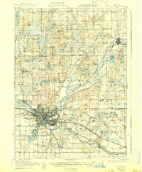
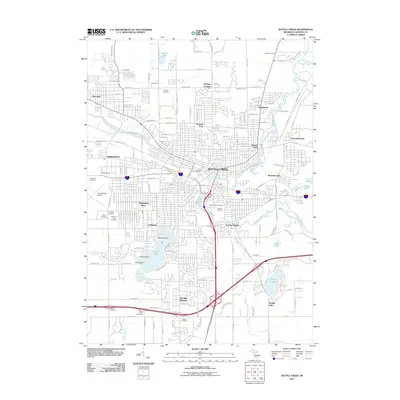
1943 Map of Battle Creek
USGS Topo · Published 1943About this map
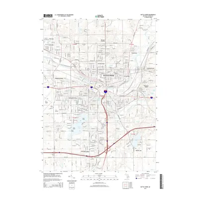
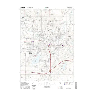
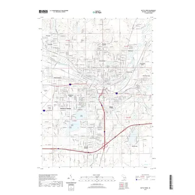
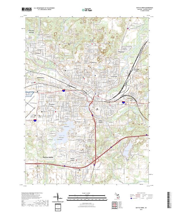
Battle Creek is depicted at the height of its mid-century industrial and residential expansion, with its complex street grid extending into Urbandale and Verona. The confluence of the Kalamazoo River and the Grand Battle Creek anchors the urban core, where the Grand Trunk Railway and New York Central Road converge to serve the local manufacturing economy. Outside the city, the landscape of Calhoun and Barry Counties is defined by a dense network of one-room schoolhouses like Cobblestone Sch and Stephens Sch, many of which served the small rural communities at Moores Corners and Sandford Corners. Water management for local industry is evident at the Upper Millpond, while recreation and natural features are concentrated around Goguac Lake and the various glacial lakes to the north, including Bristol Lake and Ackley Lake.
Find a feature on this map
82 named features on this map. Tap any name to fly to it.
Don’t see what you’re looking for? This feature index may not catch every label — zoom into the map to look around manually.
Map Details
Editions of this 1943 Battle Creek Map
This is the sole edition of this map. No revisions or reprints were ever made.
Historical Maps of Battle Creek Through Time
10 maps found
1918 Battle Creek
Calhoun County, MI
1943 Battle Creek
Calhoun County, MI
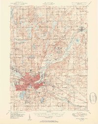
1947 Battle Creek
Calhoun County, MI
1950 Battle Creek
Calhoun County, MI
1961 Battle Creek
Calhoun County, MI
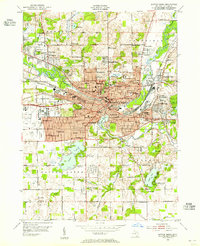
2011 Battle Creek
Calhoun County, MI
2014 Battle Creek
Calhoun County, MI
2017 Battle Creek
Calhoun County, MI
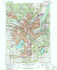
2019 Battle Creek
Calhoun County, MI
2023 Battle Creek
Calhoun County, MI
Featured Locations
- Springfield, MI
- Battle Creek, MI
- Morgan Corners, Bedford Charter Township
- Bellevue, Bellevue Township
- Assyria, Assyria Township