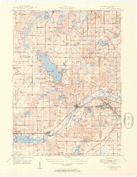
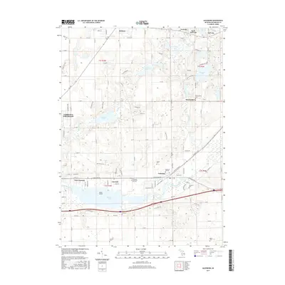
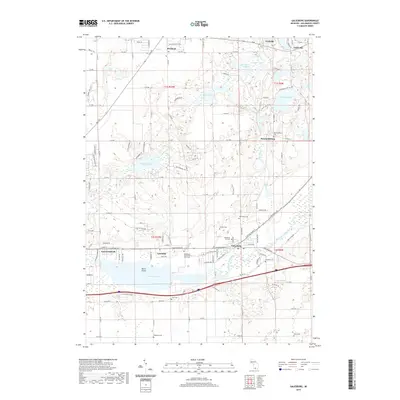
1944 Map of Galesburg
USGS Topo · Published 1944About this map
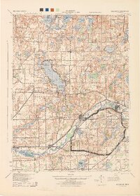
Fort Custer dominates the eastern landscape of this wartime survey, marking a period of intense military activity during the early 1940s. The Kalamazoo River carves a central path through the terrain, flanked by the Michigan Central railroad and a network of arterial routes like Territorial Road. To the north, the waters of Gull Lake serve as a focal point for lakeside settlements including Yorkville, Highland Park, and Island Park. The map reveals a dense rural social structure, with a remarkable frequency of local district schools such as Toad Hollow Sch, Grey Sch, and Knappin Sch. These institutions, alongside Bansfield Cemetery and Day Cemetery, provide a detailed genealogical record of the families established across the Barry and Kalamazoo County line. The proximity of the Battle Creek Climax rail line and numerous named corners like Turners Corners suggests a landscape transitioning from traditional farming toward industrial and military expansion.
Find a feature on this map
115 named features on this map. Tap any name to fly to it.
Don’t see what you’re looking for? This feature index may not catch every label — zoom into the map to look around manually.
Map Details
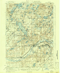
Editions of this 1944 Galesburg Map
This is the sole edition of this map. No revisions or reprints were ever made.
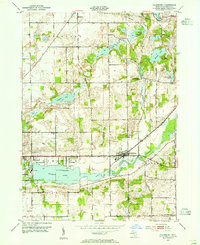
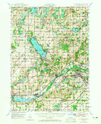
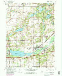
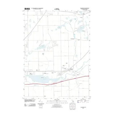
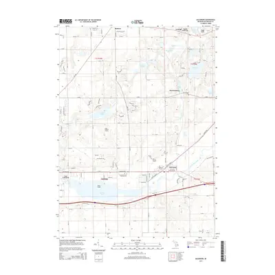
Historical Maps of Battle Creek Through Time
11 maps found
1918 Galesburg
Kalamazoo County, MI
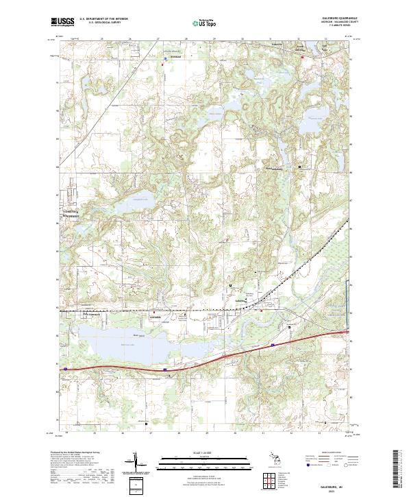
1944 Galesburg
Kalamazoo County, MI
1947 Galesburg
Kalamazoo County, MI
1947 Galesburg
Kalamazoo County, MI
1950 Galesburg
Kalamazoo County, MI
1961 Galesburg
Kalamazoo County, MI
2011 Galesburg
Kalamazoo County, MI
2014 Galesburg
Kalamazoo County, MI
2017 Galesburg
Kalamazoo County, MI
2019 Galesburg
Kalamazoo County, MI
2023 Galesburg
Kalamazoo County, MI