
1922 Map of Schoolcraft
USGS Topo · Published 1922About this map
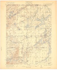
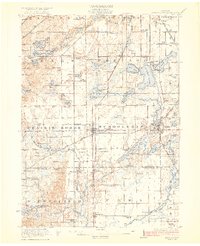
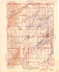
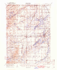
The village of Schoolcraft sits at a major rail junction in the early 1920s, where the Michigan Central RR crosses the Grand Trunk RR amidst a landscape defined by glacial lakes. The density of rural education is a striking feature of this survey, with dozens of institutions like Prairie Grove School, Section Sixteen School, and the County Center School serving the agricultural townships of Texas, Portage, and Prairie Ronde. To the east, Vicksburg serves as another industrial hub, positioned near the Grand Rapids and Indiana RR and the expansive waters of Sunset Lake. The map reveals an intricate network of water bodies, from the leisure-oriented Ramona Park on Austin Lake to the meandering Portage River, illustrating how the region's hydrology dictated both the placement of early settlements and the path of the iron rails.
Find a feature on this map
102 named features on this map. Tap any name to fly to it.
Don’t see what you’re looking for? This feature index may not catch every label — zoom into the map to look around manually.
Map Details
Editions of this 1922 Schoolcraft Map
5 editions found
Other maps of this area

1914 · Three Rivers
USGS Topo · 1:62,500

1916 · Three Rivers
USGS Topo · 1:62,500

1916 · Kalamazoo
USGS Topo · 1:62,500

1918 · Kalamazoo
USGS Topo · 1:62,500

1918 · Galesburg
USGS Topo · 1:62,500

1918 · Leonidas
USGS Topo · 1:62,500

1943 · Three Rivers
USGS Topo · 1:62,500

1943 · Kalamazoo
USGS Topo · 1:62,500

1943 · Schoolcraft
USGS Topo · 1:62,500

1944 · Leonidas
USGS Topo · 1:62,500