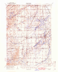
1922 Map of Schoolcraft
USGS Topo · Published 1950About this map
The village of Vicksburg and the township seat of Schoolcraft anchor this 1920s survey of southern Kalamazoo County. The region is defined by a dense concentration of glacial lakes and an evolving transportation network, where the Pennsylvania and Grand Trunk (Kalamazoo Br) railroads cross paths near Sunset Lake. This era shows several earlier rail lines already marked as defunct, including the Michigan Central (Abandoned) and the Lake Shore and Michigan Southern (Abandoned), signaling the shift toward the highway system being developed by the State Highway Department.
Find a feature on this map
109 named features on this map. Tap any name to fly to it.
Don’t see what you’re looking for? This feature index may not catch every label — zoom into the map to look around manually.
Map Details
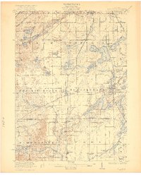
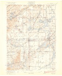
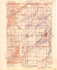
Editions of this 1922 Schoolcraft Map
5 editions found
Other maps of this area

1914 · Three Rivers
USGS Topo · 1:62,500

1916 · Three Rivers
USGS Topo · 1:62,500

1916 · Kalamazoo
USGS Topo · 1:62,500

1918 · Kalamazoo
USGS Topo · 1:62,500

1918 · Galesburg
USGS Topo · 1:62,500

1918 · Leonidas
USGS Topo · 1:62,500

1922 · Schoolcraft
USGS Topo · 1:62,500

1943 · Three Rivers
USGS Topo · 1:62,500

1943 · Kalamazoo
USGS Topo · 1:62,500

1943 · Schoolcraft
USGS Topo · 1:62,500