Loading...
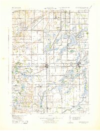
Loading map...1967 Map of Schoolcraft
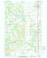
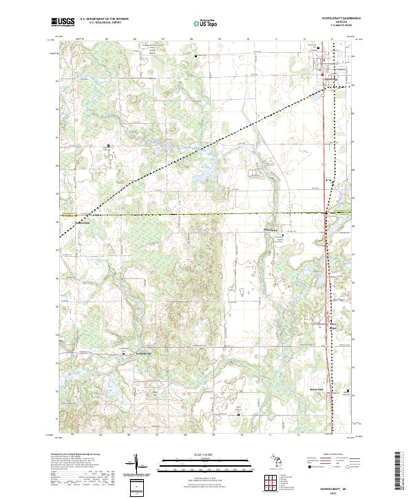
USGS Topo · Published 1992About this map
The village of Schoolcraft serves as the primary hub in this landscape where the extensive Prairie Ronde terrain meets the winding waters of Flowerfield Creek. This 1967 survey captures the area as a critical rail junction, with the Grand Trunk Western and Penn Central lines intersecting near the town center. Local life is anchored by landmarks such as the Grange Hall and rural settlements like Flowerfield and Howardsville.
Find a feature on this map
39 named features on this map. Tap any name to fly to it.
Don’t see what you’re looking for? This feature index may not catch every label — zoom into the map to look around manually.
Map Details
Date Portrayed1967
Date Published1992
PublisherU.S. Geological Survey
Map TypeTopographic
Scale1:24,000
Physical Dimensions22 x 26.8 inches
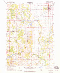
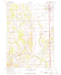
Editions of this 1967 Schoolcraft Map
3 editions found
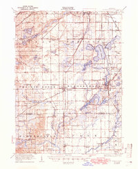
Historical Maps of Flowerfield Through Time
8 maps found
Featured Locations
- Flowerfield Township, MI
- Schoolcraft Township, MI
- Schoolcraft, Schoolcraft Township
- Flowerfield, Flowerfield Township
- Howardsville, Flowerfield Township
Source Details
SourceU.S. Geological Survey
CopyrightPublic Domain