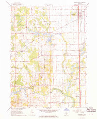
1967 Map of Schoolcraft
USGS Topo · Published 1969About this map
The expansive Prairie Ronde terrain dominates this 1960s survey of the border between Kalamazoo and St. Joseph counties. The village of Schoolcraft sits at the northeastern corner, serving as a hub for the Penn Central railroad line. To the south and west, the landscape transitions into the Flowerfield area, characterized by the winding path of Flowerfield Creek and the Rocky River. Smaller rural settlements such as Edwards Corners, Chamberlain, and Howardsville are linked by a network of local roads including Hackenberg Road and Myers Road. Local history is preserved through landmarks like the Pleasant Valley Ch and the Upper Flatbush Cem, while the presence of a Grange Hall and multiple Gravel Pits reflects the agricultural and industrial activities of the era. The map also captures recreation and utility sites, from the Stiverville Golf Course to a remote Landing Strip near Pine Ridge.
Find a feature on this map
43 named features on this map. Tap any name to fly to it.
Don’t see what you’re looking for? This feature index may not catch every label — zoom into the map to look around manually.
Map Details
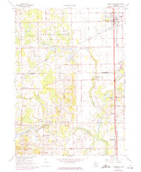
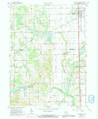
Editions of this 1967 Schoolcraft Map
3 editions found
Other maps of this area

1914 · Three Rivers
USGS Topo · 1:62,500

1916 · Three Rivers
USGS Topo · 1:62,500

1922 · Schoolcraft
USGS Topo · 1:62,500

1943 · Three Rivers
USGS Topo · 1:62,500

1943 · Schoolcraft
USGS Topo · 1:62,500

1944 · Marcellus
USGS Topo · 1:62,500

1946 · Marcellus
USGS Topo · 1:62,500

1948 · Vandalia
USGS Topo · 1:62,500

1949 · Vandalia
USGS Topo · 1:62,500

1953 · Fort Wayne
USGS Topo · 1:250,000