Loading...
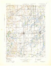
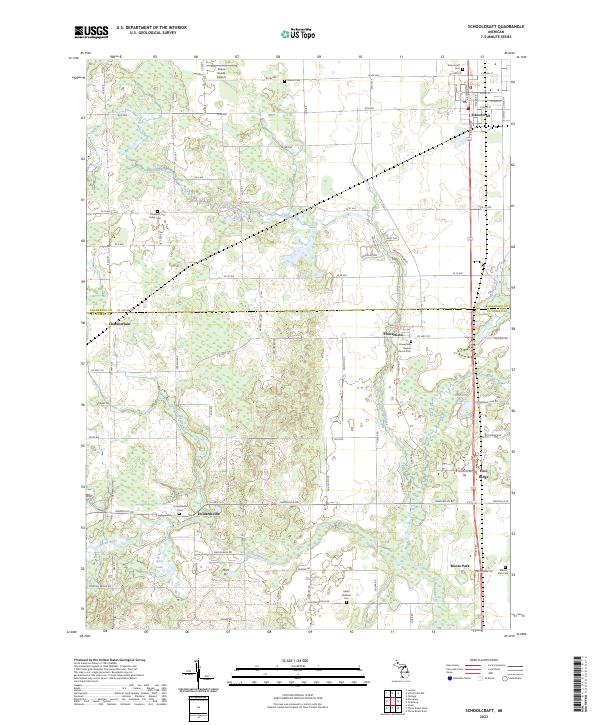
Loading map...1943 Map of Schoolcraft
USGS Topo · Published 1943About this map
Schoolcraft Prairie dominates the central landscape of this 1943 survey, reflecting a region defined by its glacial lakes and rich agricultural history along the border of Kalamazoo and St. Joseph counties. The village of Vicksburg serves as a significant rail hub, where the Grand Trunk and Pennsylvania lines intersect near Sunset Lake. The mapping reveals a dense network of early rural education, including the evocatively named Lost Island Sch and Fanckboner Sch.
Find a feature on this map
91 named features on this map. Tap any name to fly to it.
Don’t see what you’re looking for? This feature index may not catch every label — zoom into the map to look around manually.
Map Details
Date Portrayed1943
Date Published1943
PublisherU.S. Geological Survey
Map TypeTopographic
Scale1:62,500
Physical Dimensions17.05 x 22.23 inches
Editions of this 1943 Schoolcraft Map
This is the sole edition of this map. No revisions or reprints were ever made.
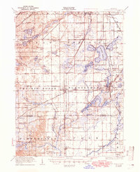
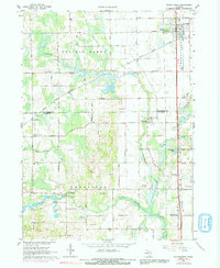
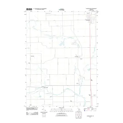
Historical Maps of Kalamazoo Through Time
8 maps found
Featured Locations
- Kalamazoo, MI
- Portage, MI
- Schoolcraft, Schoolcraft Township
- Vicksburg, Schoolcraft Township
- Flowerfield, Flowerfield Township
Source Details
SourceU.S. Geological Survey
CopyrightPublic Domain