
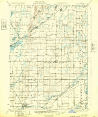
1944 Map of Leonidas
USGS Topo · Published 1944About this map
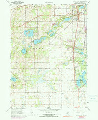
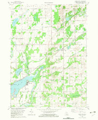
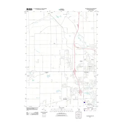
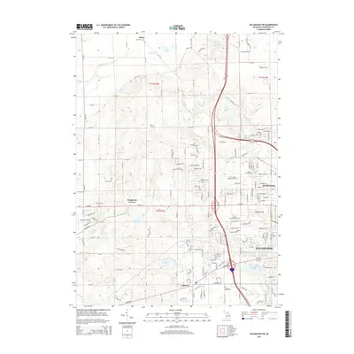
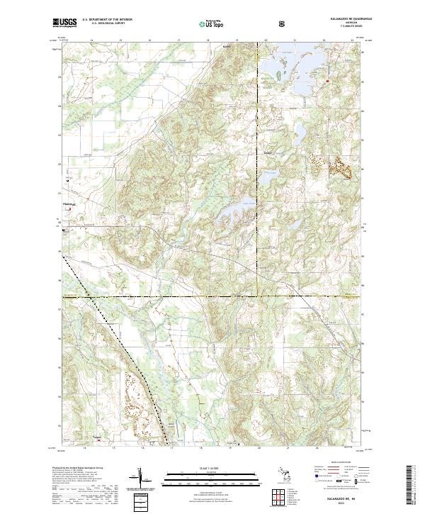
Agricultural lands and river valleys dominate this landscape at the intersection of Kalamazoo, St. Joseph, Calhoun, and Branch counties. The St Joseph River and Portage River anchor the drainage of a terrain dotted with numerous glacial lakes, including the large Indian Lake and Portage Lake. This 1944 edition, revised from 1938 aerial photography, shows a mature rural infrastructure defined by a remarkably dense network of local school districts, such as Walnut Ridge Sch, Bigelow Sch, and Leggett Sch. Small village centers like Fulton and Scotts serve as focal points for the surrounding farmsteads, while the Grand Trunk Western RR provides a critical transit link through Climax and past the Indian Lake Sta. The presence of landmarks like Dutton Cemetery and several rural churches suggests a well-established social fabric in these townships during the mid-20th century.
Find a feature on this map
88 named features on this map. Tap any name to fly to it.
Don’t see what you’re looking for? This feature index may not catch every label — zoom into the map to look around manually.
Map Details
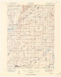
Editions of this 1944 Leonidas Map
This is the sole edition of this map. No revisions or reprints were ever made.
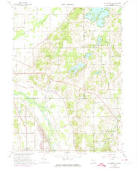
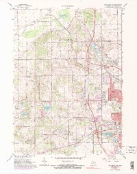
Historical Maps of Battle Creek Through Time
28 maps found
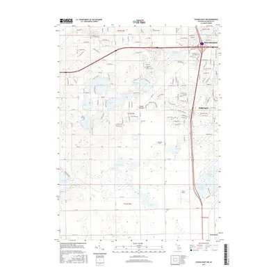
1918 Leonidas
Kalamazoo County, MI
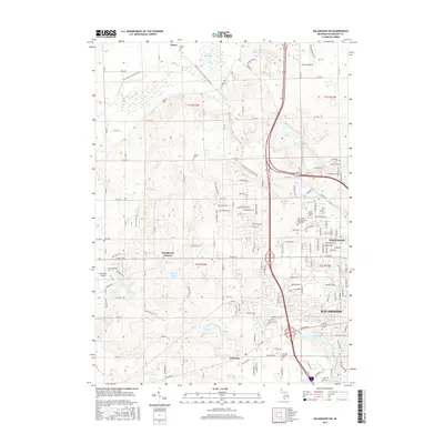
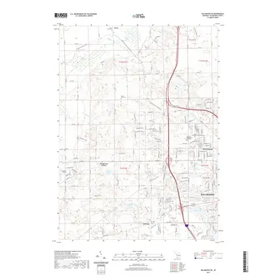
1944 Leonidas
Kalamazoo County, MI

1947 Leonidas
Kalamazoo County, MI
1950 Leonidas
Kalamazoo County, MI
1967 Kalamazoo NE
Kalamazoo County, MI
1967 Kalamazoo SW
Kalamazoo County, MI
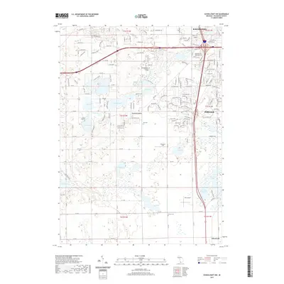
1967 Schoolcraft NW
Kalamazoo County, MI
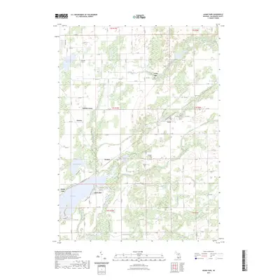
1982 Adams Park
Kalamazoo County, MI
2011 Adams Park
Kalamazoo County, MI
2011 Kalamazoo NE
Kalamazoo County, MI
2011 Kalamazoo SW
Kalamazoo County, MI
2011 Schoolcraft NW
Kalamazoo County, MI
2014 Adams Park
Kalamazoo County, MI
2014 Kalamazoo NE
Kalamazoo County, MI
2014 Kalamazoo SW
Kalamazoo County, MI
2014 Schoolcraft NW
Kalamazoo County, MI
2017 Adams Park
Kalamazoo County, MI
2017 Kalamazoo NE
Kalamazoo County, MI
2017 Kalamazoo SW
Kalamazoo County, MI
2017 Schoolcraft NW
Kalamazoo County, MI
2019 Adams Park
Kalamazoo County, MI
2019 Kalamazoo NE
Kalamazoo County, MI
2019 Kalamazoo SW
Kalamazoo County, MI
2019 Schoolcraft NW
Kalamazoo County, MI
2023 Adams Park
Kalamazoo County, MI
2023 Kalamazoo NE
Kalamazoo County, MI
2023 Kalamazoo SW
Kalamazoo County, MI

2023 Schoolcraft NW
Kalamazoo County, MI
Featured Locations
- Battle Creek, MI
- Pavilion, Pavilion Township
- Climax, Climax Township
- Leonidas, Leonidas Township
- Mendon, Mendon Township