
1918 Map of Battle Creek
USGS Topo · Published 1918About this map
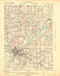
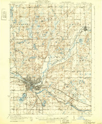
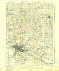
The Kalamazoo River and the Battle Creek river provide the industrial backbone of this South Central Michigan landscape during the First World War. The city of Battle Creek is depicted as a growing manufacturing hub, flanked by early suburbs like Urbandale and Verona. A dense network of transport infrastructure is evident, with the Michigan Central, Grand Trunk, and the Michigan Electric Railroad converging on the urban center. The survey documents a landscape of small agricultural crossroads and rural education, featuring dozens of named schools such as the Little Brick School and Cobblestone School. To the north, the terrain becomes more varied in Assyria and Penfield, where features like the Upper Millpond and Base Line Church serve as local landmarks for families tracing their roots in Barry and Calhoun Counties.
Find a feature on this map
104 named features on this map. Tap any name to fly to it.
Don’t see what you’re looking for? This feature index may not catch every label — zoom into the map to look around manually.
Map Details
Editions of this 1918 Battle Creek Map
4 editions found
Other maps of this area

1918 · Union City
USGS Topo · 1:62,500

1918 · Galesburg
USGS Topo · 1:62,500

1918 · Leonidas
USGS Topo · 1:62,500

1921 · Marshall
USGS Topo · 1:62,500

1923 · Marshall
USGS Topo · 1:62,500

1943 · Battle Creek
USGS Topo · 1:62,500

1943 · Marshall
USGS Topo · 1:62,500

1944 · Leonidas
USGS Topo · 1:62,500

1944 · Galesburg
USGS Topo · 1:62,500

1947 · Augusta
USGS Topo · 1:24,000