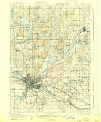
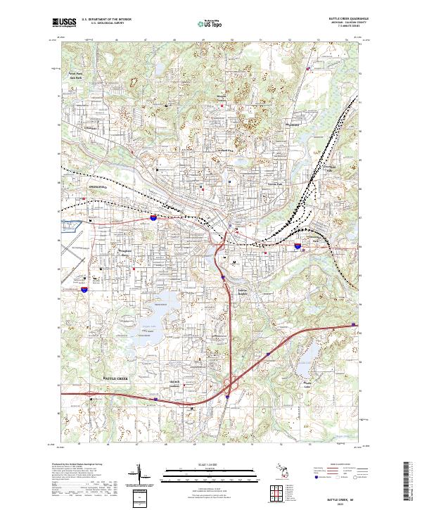
1918 Map of Battle Creek
USGS Topo · Published 1942About this map
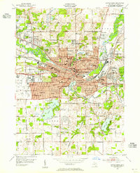
Battle Creek emerges as a dense industrial and transit hub at the confluence of the Kalamazoo River and Battle Creek, serving as a focal point for the Grand Trunk Western RR, Michigan Central RR, and Michigan Elec Ry. This 1917 survey, reprinted during the war years, details a landscape defined by its transition from manufacturing to rural township life. Beyond the city limits, the terrain is dotted with local landmarks like Goguac Lake and St Marys Lake, and bisected by the historic Territorial Road.
Find a feature on this map
101 named features on this map. Tap any name to fly to it.
Don’t see what you’re looking for? This feature index may not catch every label — zoom into the map to look around manually.
Map Details
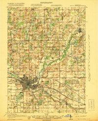
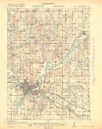
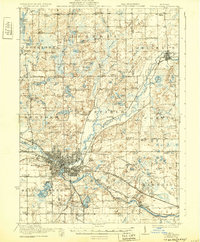
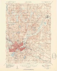
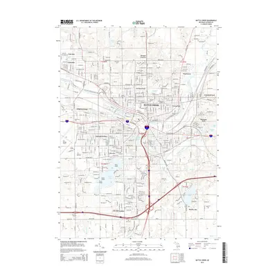
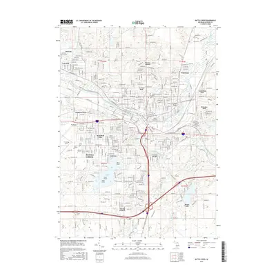
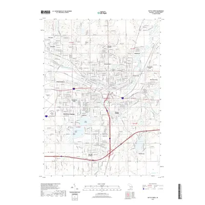
Editions of this 1918 Battle Creek Map
4 editions found
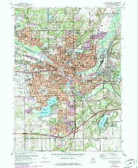
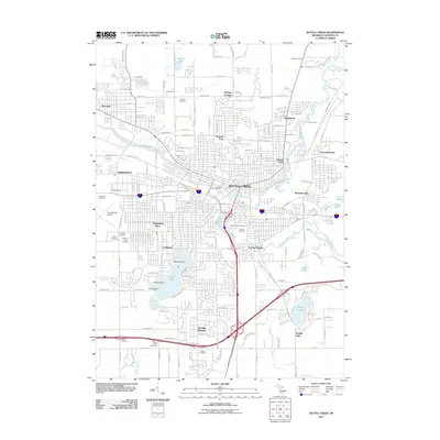
Historical Maps of Battle Creek Through Time
10 maps found
1918 Battle Creek
Calhoun County, MI

1943 Battle Creek
Calhoun County, MI
1947 Battle Creek
Calhoun County, MI
1950 Battle Creek
Calhoun County, MI
1961 Battle Creek
Calhoun County, MI
2011 Battle Creek
Calhoun County, MI
2014 Battle Creek
Calhoun County, MI
2017 Battle Creek
Calhoun County, MI
2019 Battle Creek
Calhoun County, MI
2023 Battle Creek
Calhoun County, MI
Featured Locations
- Springfield, MI
- Battle Creek, MI
- Morgan Corners, Bedford Charter Township
- Bellevue, Bellevue Township
- Assyria, Assyria Township