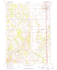
1967 Map of Schoolcraft
USGS Topo · Published 1974About this map
Prairie Ronde and Flowerfield townships anchor this 1967 survey of the rural landscape south of Kalamazoo. The village of Schoolcraft dominates the northeast corner, showing a concentrated grid of streets and a High School at the intersection of the Penn Central and Western Grand Trunk rail lines. The surrounding countryside is a network of section-line roads like W Avenue and Flowerfield Road, connecting small agricultural crossroads such as Chamberlain, Edwards Corners, and Howardsville.
Find a feature on this map
40 named features on this map. Tap any name to fly to it.
Don’t see what you’re looking for? This feature index may not catch every label — zoom into the map to look around manually.
Map Details
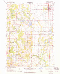
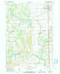
Editions of this 1967 Schoolcraft Map
3 editions found
Other maps of this area

1914 · Three Rivers
USGS Topo · 1:62,500

1916 · Three Rivers
USGS Topo · 1:62,500

1922 · Schoolcraft
USGS Topo · 1:62,500

1943 · Three Rivers
USGS Topo · 1:62,500

1943 · Schoolcraft
USGS Topo · 1:62,500

1944 · Marcellus
USGS Topo · 1:62,500

1946 · Marcellus
USGS Topo · 1:62,500

1948 · Vandalia
USGS Topo · 1:62,500

1949 · Vandalia
USGS Topo · 1:62,500

1953 · Fort Wayne
USGS Topo · 1:250,000