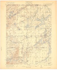
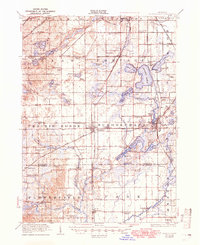
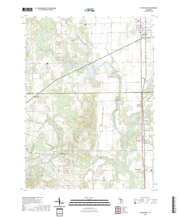
1922 Map of Schoolcraft
USGS Topo · Published 1922About this map
Vicksburg and Schoolcraft anchor this detailed study of southwest Michigan, where a dense network of early 20th-century railroads defines the regional transport pattern. The Grand Trunk, Grand Rapids and Indiana, and New York Central lines intersect here, serving a landscape transitioning from the open prairie of Prairie Ronde to the lake-studded terrain of Portage. The map reveals a highly developed rural social infrastructure, with dozens of family-named and numbered schools such as the Brooks School, Tiffany School, and the Brown Jug School placed at nearly every major crossroads.
Find a feature on this map
106 named features on this map. Tap any name to fly to it.
Don’t see what you’re looking for? This feature index may not catch every label — zoom into the map to look around manually.
Map Details
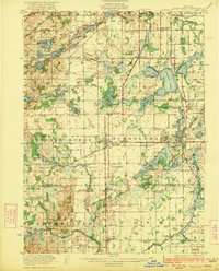
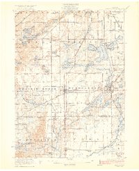
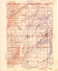
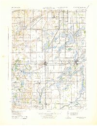
Editions of this 1922 Schoolcraft Map
5 editions found
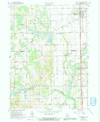
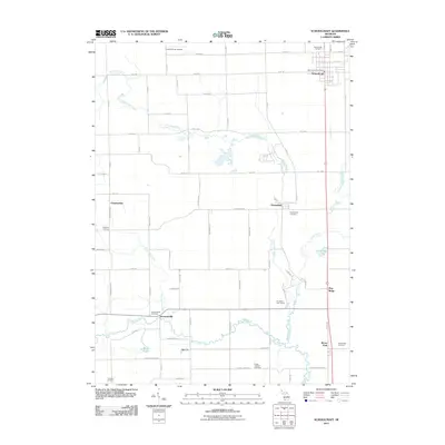
Historical Maps of Kalamazoo Through Time
8 maps found
Featured Locations
- Kalamazoo, MI
- Portage, MI
- Schoolcraft, Schoolcraft Township
- Vicksburg, Schoolcraft Township
- Flowerfield, Flowerfield Township