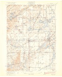
1922 Map of Schoolcraft
USGS Topo · Published 1922About this map
The village of Schoolcraft serves as a central hub in this 1920s survey of southern Kalamazoo County, situated at the junction of the New York Central and Grand Trunk railroads. The landscape is defined by an intricate network of glacial lakes and prairie lands, with substantial water bodies like Austin Lake and Long Lake anchoring the eastern edge. This era captures the region's transition from a rural agricultural economy to one increasingly influenced by lakeside recreation, as seen at Ramona Park.
Find a feature on this map
106 named features on this map. Tap any name to fly to it.
Don’t see what you’re looking for? This feature index may not catch every label — zoom into the map to look around manually.
Map Details
Editions of this 1922 Schoolcraft Map
5 editions found
Other maps of this area

1914 · Three Rivers
USGS Topo · 1:62,500

1916 · Three Rivers
USGS Topo · 1:62,500

1916 · Kalamazoo
USGS Topo · 1:62,500

1918 · Kalamazoo
USGS Topo · 1:62,500

1918 · Galesburg
USGS Topo · 1:62,500

1918 · Leonidas
USGS Topo · 1:62,500

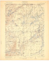
1922 · Schoolcraft
USGS Topo · 1:62,500

1943 · Three Rivers
USGS Topo · 1:62,500

1943 · Kalamazoo
USGS Topo · 1:62,500

1943 · Schoolcraft
USGS Topo · 1:62,500