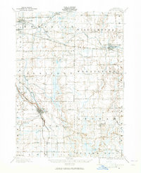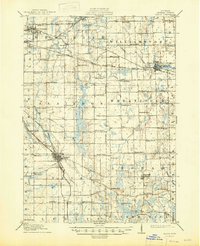
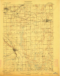
1911 Map of Mason
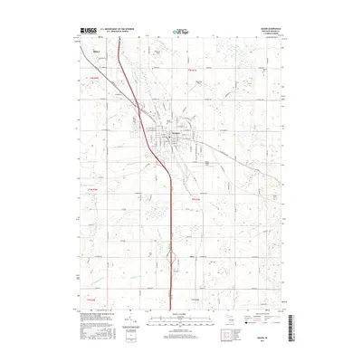
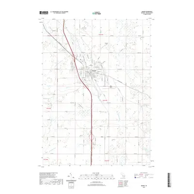
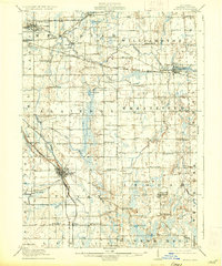
USGS Topo · Published 1947About this map
Mason and the rural townships of Ingham County are captured here during a period of transition as the rail-and-river economy of Central Michigan flourished. The landscape is defined by the Red Cedar River and its tributaries, such as Sycamore Creek and Doan Brook, which historically dictated the placement of early settlements. A sophisticated transportation network is visible, anchored by the Michigan Central RR and the Detroit and Grand Rapids Electric RR, illustrating how these lines linked the county seat at Mason to East Lansing and the surrounding dairy and farming communities. The sheet is exceptionally detailed in its placement of rural social infrastructure, noting dozens of country schoolhouses like Marble School, Etchells School, and the White Dog School. These landmarks, many of which served as the nuclei for small crossroads communities, provide essential data for genealogists and local historians tracing the early 20th-century development of the region.
Find a feature on this map
85 named features on this map. Tap any name to fly to it.
Don’t see what you’re looking for? This feature index may not catch every label — zoom into the map to look around manually.
Map Details
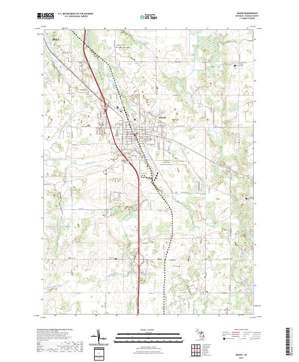
Editions of this 1911 Mason Map
3 editions found
Historical Maps of Lansing Through Time
8 maps found