Loading...
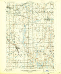
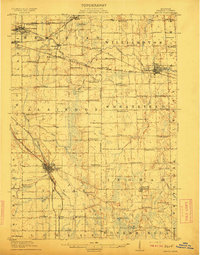
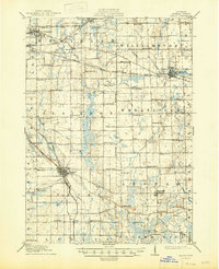
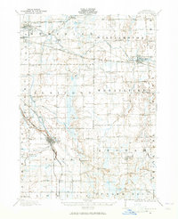
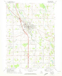
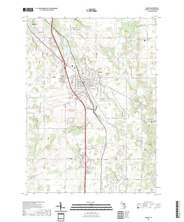
Loading map...1911 Map of Mason
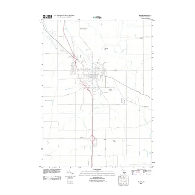
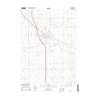
USGS Topo · Published 1933About this map
Michigan Agricultural College stands at the northwestern edge of this Ingham County landscape, marking the early development of East Lansing. The surrounding countryside is defined by a dense network of local school districts, including Marble School, Champion School, and Sand Hill School, reflecting a period of closely-knit rural communities. These townships are connected by the Michigan Central RR and the Pere Marquette RR, which converge near Mason and Okemos Sta.
Find a feature on this map
83 named features on this map. Tap any name to fly to it.
Don’t see what you’re looking for? This feature index may not catch every label — zoom into the map to look around manually.
Map Details
Date Portrayed1911
Date Published1933
PublisherU.S. Geological Survey
Map TypeTopographic
Scale1:62,500
Physical Dimensions16.4 x 19.7 inches
Editions of this 1911 Mason Map
3 editions found
Historical Maps of Lansing Through Time
8 maps found
Featured Locations
Source Details
SourceU.S. Geological Survey
CopyrightPublic Domain