Loading...
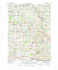
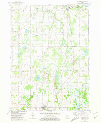
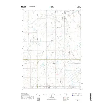
Loading map...1919 Map of Springport
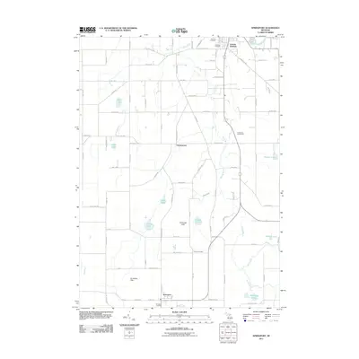
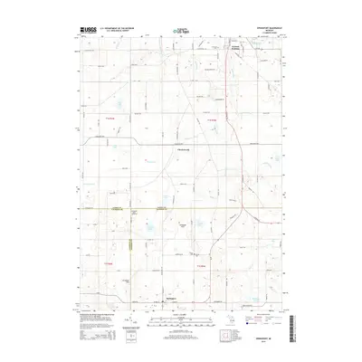
USGS Topo · Published 1977About this map
The Grand River and Michigan Central Railroad define the transportation corridors of southern Michigan in this 1919 survey, connecting the river town of Eaton Rapids with the agricultural centers of Springport and Parma. The landscape is remarkably dense with rural institutions, mapping dozens of community schools such as the Knight School, Sheldon School, and Landon School that once served these dispersed townships.
Find a feature on this map
96 named features on this map. Tap any name to fly to it.
Don’t see what you’re looking for? This feature index may not catch every label — zoom into the map to look around manually.
Map Details
Date Portrayed1919
Date Published1977
PublisherU.S. Geological Survey
Map TypeTopographic
Scale1:62,500
Physical Dimensions18 x 21.7 inches
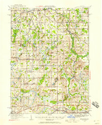
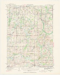
Editions of this 1919 Springport Map
3 editions found
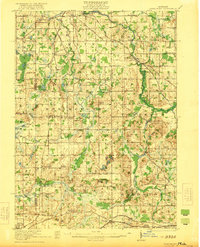
Historical Maps of Albion Through Time
8 maps found
Featured Locations
Source Details
SourceU.S. Geological Survey
CopyrightPublic Domain