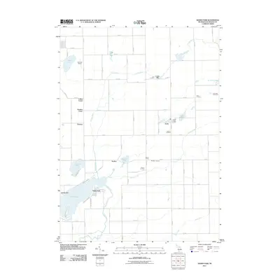
Old Maps of Brady Township, Michigan for Genealogy
Trace your family roots with 34 historic maps of Brady Township. These high-res maps reveal old neighborhoods, homesites, landmarks, and streets — helping you uncover where your ancestors lived and how the area evolved over time.
- Explore historic neighborhoods: Identify where your relatives may have lived in the 1800s or 1900s.
- Compare maps over time: Trace the changes in streets, buildings, and landmarks for multi-generational research.
- Perfect for genealogy & ancestry research: Used by family historians and researchers to map out lineage and migration.
These maps are an incredible resource for exploring your personal connection to Brady Township's past.
Brady Township, MI maps
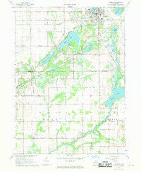
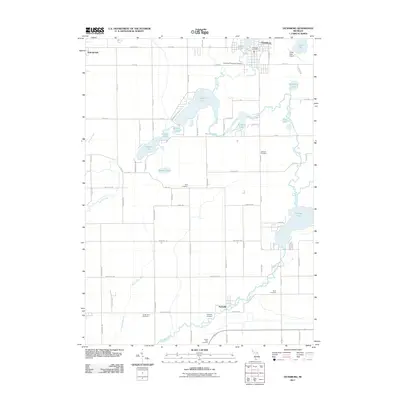
(34)- 1918 Map of Leonidas
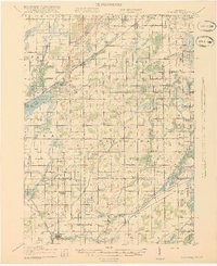 1918 Leonidas1918 Print · USGSSouthern Michigan at the close of the Great War reveals a landscape of tight-knit farming townships connected by the GRAND RAPIDS AND INDIANA RR. Genealogists can trace family roots through numerous district schools and landmarks like Beard Church, Dutton Cemetery, and Kings Mill.3 unique versions available
 - 1922 Map of Schoolcraft
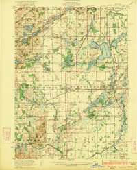 1922 Schoolcraft1922 Print · USGSSouthern Kalamazoo and northern St. Joseph counties are captured here in the early 1920s as a thriving hub of rail transport and rural education. Genealogists can trace family footprints through dozens of local sites, from the rail junction at Schoolcraft to the lakeside Ramona Park and the Flowerfield Sta.5 unique versions available
 - 1943 Map of Schoolcraft
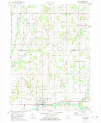
 1943 Schoolcraft1943 Print · USGSKalamazoo and St. Joseph counties are shown here during the early 1940s, a landscape defined by glacial lakes and the expansive Schoolcraft Prairie. Trace family roots at Vicksburg or locate historic rural schools like Lost Island Sch and Brick Sch.
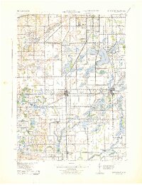
 - 1944 Map of Leonidas
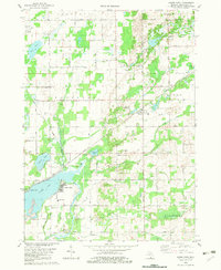
 1944 Leonidas1944 Print · USGSThe rural borderlands of Kalamazoo and St. Joseph counties are shown here as the region's agricultural and rail networks reached their mid-century peak. Genealogists can trace family locations near dozens of named schools and landmarks like Dutton Cemetery, Kings Mill, and Beard Ch.
 - 1947 Map of Leonidas, 1976 Print
 1947 Leonidas1976 Print · USGSSouthern Michigan rural life is captured here in the late 1940s, showing a landscape defined by small crossroads settlements and the family-run farms between them. Researchers can trace the exact locations of vanished country schools like Hull Sch and rural landmarks such as Kings Mill and Wakeshma Tabernacle.
 - 1950 Map of Leonidas
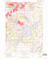
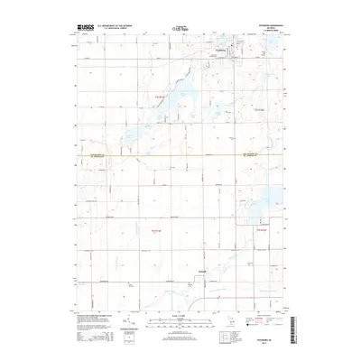
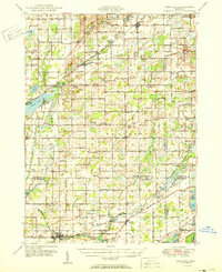 1950 Leonidas1950 Print · USGSSouthern Michigan’s borderlands at mid-century are defined by the winding St Joseph River and a patchwork of rural school districts. Genealogists can trace family roots through landmarks like Gilson Cem, Dutton Cem, and the numerous rural schools including Factoryville Sch.2 unique versions available
 - 1958 Map of Grand Rapids, 1973 Print
 1958 Grand Rapids1973 Print · USGSSouthern Michigan at the peak of the postwar era shows a landscape of burgeoning cities and new interstate highways. Trace family roots and regional growth in Grand Rapids, Battle Creek, and the glacial lake country around Gun Lake or Gull Lake.2 unique versions available
 - 1961 Map of Grand Rapids
 1961 Grand Rapids1961 Print · USGSSouthern Michigan at the dawn of the 1960s reveals a region shaped by major river systems and a robust rail network. Trace mid-century industrial growth and land use from Grand Rapids to the Fort Custer Military Reservation and Gun Lake.
 - 1962 Map of Grand Rapids
 1962 Grand Rapids1962 Print · USGSMid-century Southern Michigan is mapped here at a time of massive growth, showing the expanding urban footprints of Grand Rapids and Lansing. Researchers can trace the legacy of the Grand Trunk Western RR, find historic boundaries of the Fort Custer Military Reservation, or locate sporting camps around Gun Lake.2 unique versions available
 - 1967 Map of Vicksburg, 1969 Print
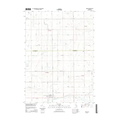
 1967 Vicksburg1969 Print · USGSThe village of Vicksburg and the winding Portage River valley are captured here in the late sixties as agricultural and industrial life intersected. Genealogists can locate family sites like Parkville Cem, Scott Cem, and the West Mendon Ch.3 unique versions available
 - 1967 Map of Portage, 1969 Print
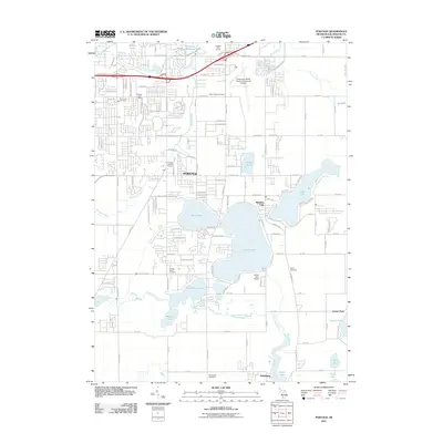
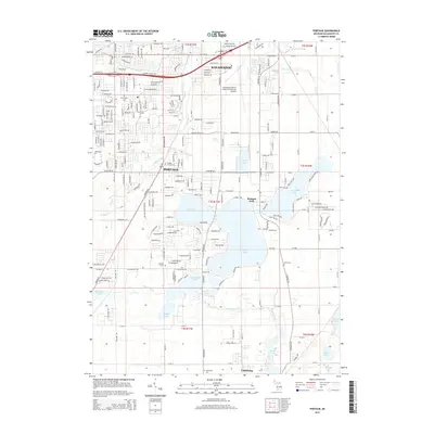
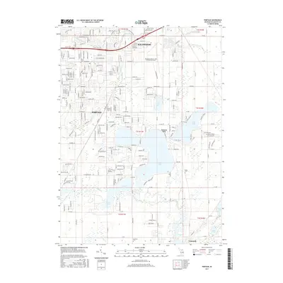
 1967 Portage1969 Print · USGSThe suburbs of Kalamazoo and Portage were rapidly evolving in the late sixties as new schools and shopping centers met the lakefront. Researchers can trace local history through sites like Dry Prairie Cem, Ramona Park, and the Grand Trunk Western line.3 unique versions available
 - 1982 Map of Adams Park
 1982 Adams Park1982 Print · USGSKalamazoo County townships were established rural communities in the early eighties. Genealogists and historians can trace family locations near Cook Cem, the Indian Lake Sch, and the Grand Trunk Western rail line.
 - 1982 Map of Mendon
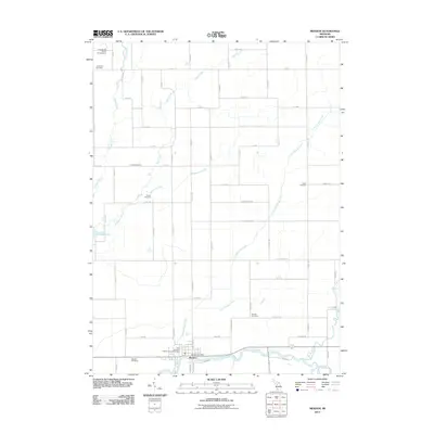
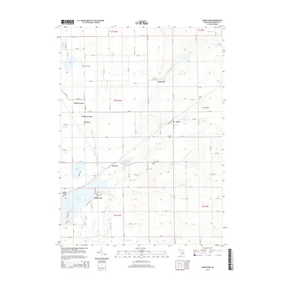
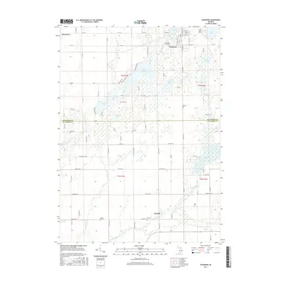
 1982 Mendon1982 Print · USGSMendon and the surrounding river valleys are captured here in the early 1980s, showcasing the intersection of the St. Joseph River and the Conrail line. Researchers can trace land patterns along the Old Indian Boundary or locate ancestral sites like Hassic Cem and Kings Mill.
 - 1982 Map of Kalamazoo, 1983 Print
 1982 Kalamazoo1983 Print · USGSThe Kalamazoo River valley in the early eighties shows a landscape of growing suburban centers and heavy rail infrastructure. Genealogists and researchers can trace the limits of Kalamazoo and Battle Creek or locate landmarks like Fort Custer National Cemetery and Gull Lake.
 - 2011 Map of Vicksburg, 2011 Print
 2011 Vicksburg2011 Print · USGSCovers Brady Township, including Vicksburg, Schoolcraft, and other nearby areas
 - 2011 Map of Adams Park, 2011 Print
 2011 Adams Park2011 Print · USGSCovers Brady Township, including Pavilion, Pavilion Township, and other nearby areas
 - 2011 Map of Portage, 2011 Print
 2011 Portage2011 Print · USGSCovers Brady Township, including Kalamazoo, Portage, and other nearby areas
 - 2011 Map of Mendon, 2011 Print
 2011 Mendon2011 Print · USGSCovers Brady Township, including Mendon, Leonidas Township, and other nearby areas
 - 2014 Map of Vicksburg, 2014 Print
 2014 Vicksburg2014 Print · USGSCovers Brady Township, including Vicksburg, Schoolcraft, and other nearby areas
 - 2014 Map of Mendon, 2014 Print
 2014 Mendon2014 Print · USGSCovers Brady Township, including Mendon, Leonidas Township, and other nearby areas
 - 2014 Map of Portage, 2014 Print
 2014 Portage2014 Print · USGSCovers Brady Township, including Kalamazoo, Portage, and other nearby areas
 - 2014 Map of Adams Park, 2014 Print
 2014 Adams Park2014 Print · USGSCovers Brady Township, including Pavilion, Pavilion Township, and other nearby areas
 - 2017 Map of Portage, 2017 Print
 2017 Portage2017 Print · USGSCovers Brady Township, including Kalamazoo, Portage, and other nearby areas
 - 2017 Map of Mendon, 2017 Print
 2017 Mendon2017 Print · USGSCovers Brady Township, including Mendon, Leonidas Township, and other nearby areas
 - 2017 Map of Vicksburg, 2017 Print
 2017 Vicksburg2017 Print · USGSCovers Brady Township, including Vicksburg, Schoolcraft, and other nearby areas
Showing maps 1-25 of 34
Top cities near Brady Township
- Kalamazoo historical maps
- Battle Creek historical maps
- Portage historical maps
- Three Rivers historical maps
- Pavilion historical maps
- Springfield historical maps
See more
Top neighborhoods of Brady Township
Frequently asked questions
- What are the different types of historical maps available for Brady Township?
- What is the oldest map of Brady Township?
- Where can I purchase historical maps of Brady Township for my home or office?
- Where can I download high-res historical maps of Brady Township?
- Are there historical topographic maps available for Brady Township?
- Is there historical aerial imagery available for Brady Township?
- Where are historical maps of Brady Township sourced from?