Old Maps of Schoolcraft Township, Michigan for Metal Detecting
Plan your next treasure hunt with 30 historic maps of Schoolcraft Township. Find old homesites, ghost towns, trails, and gathering spots that may be lost to time — perfect for identifying promising metal detecting locations.
- Locate forgotten sites: Uncover places like long-lost settlements, abandoned rail lines, or gathering spots.
- Plan better hunts: Use map overlays combined with LiDAR or satellite views to narrow in on historically rich areas.
- Made for detectorists: Thousands of hobbyists use these maps to discover relics, coins, and hidden history.
Use these historic maps to boost your research and find new opportunities beneath the surface of Schoolcraft Township.
Schoolcraft Township, MI maps
(30)- 1922 Map of Schoolcraft
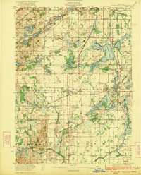 1922 Schoolcraft1922 Print · USGSSouthern Kalamazoo and northern St. Joseph counties are captured here in the early 1920s as a thriving hub of rail transport and rural education. Genealogists can trace family footprints through dozens of local sites, from the rail junction at Schoolcraft to the lakeside Ramona Park and the Flowerfield Sta.5 unique versions available
 - 1943 Map of Schoolcraft
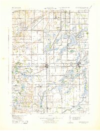 1943 Schoolcraft1943 Print · USGSKalamazoo and St. Joseph counties are shown here during the early 1940s, a landscape defined by glacial lakes and the expansive Schoolcraft Prairie. Trace family roots at Vicksburg or locate historic rural schools like Lost Island Sch and Brick Sch.
 - 1958 Map of Grand Rapids, 1973 Print
 1958 Grand Rapids1973 Print · USGSSouthern Michigan at the peak of the postwar era shows a landscape of burgeoning cities and new interstate highways. Trace family roots and regional growth in Grand Rapids, Battle Creek, and the glacial lake country around Gun Lake or Gull Lake.2 unique versions available
 - 1961 Map of Grand Rapids
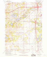
 1961 Grand Rapids1961 Print · USGSSouthern Michigan at the dawn of the 1960s reveals a region shaped by major river systems and a robust rail network. Trace mid-century industrial growth and land use from Grand Rapids to the Fort Custer Military Reservation and Gun Lake.
 - 1962 Map of Grand Rapids
 1962 Grand Rapids1962 Print · USGSMid-century Southern Michigan is mapped here at a time of massive growth, showing the expanding urban footprints of Grand Rapids and Lansing. Researchers can trace the legacy of the Grand Trunk Western RR, find historic boundaries of the Fort Custer Military Reservation, or locate sporting camps around Gun Lake.2 unique versions available
 - 1967 Map of Schoolcraft, 1969 Print
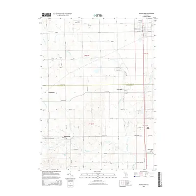
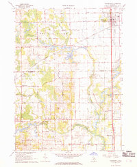 1967 Schoolcraft1969 Print · USGSSouthwest Michigan's agricultural heartland is documented here in the late 1960s, showing the intersection of rail and rural life. Genealogists can locate family-named routes and community landmarks like Upper Flatbush Cem, Edwards Corners, and the Grange Hall.3 unique versions available
 - 1967 Map of Vicksburg, 1969 Print
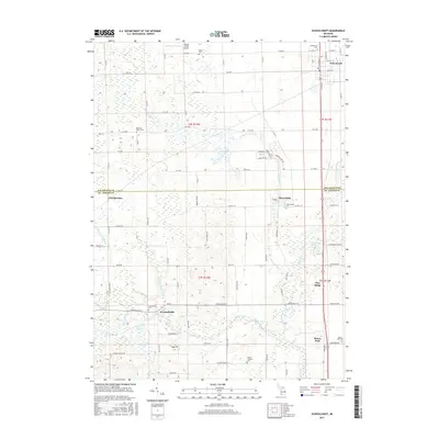
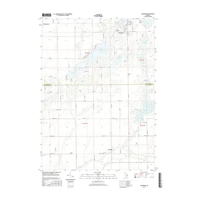
 1967 Vicksburg1969 Print · USGSThe village of Vicksburg and the winding Portage River valley are captured here in the late sixties as agricultural and industrial life intersected. Genealogists can locate family sites like Parkville Cem, Scott Cem, and the West Mendon Ch.3 unique versions available
 - 1967 Map of Schoolcraft NW, 1969 Print
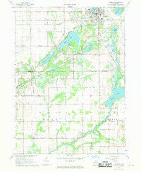
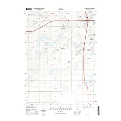
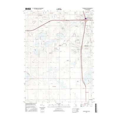
 1967 Schoolcraft NW1969 Print · USGSThe lake-dotted landscape of Kalamazoo County is captured here in the late sixties as the city of PORTAGE expands toward the west. Researchers can locate early rural landmarks including Texas Corners, Hope Cem, and the small Landing Field near the Portage city limits.3 unique versions available
 - 1967 Map of Portage, 1969 Print
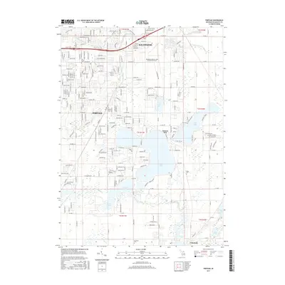
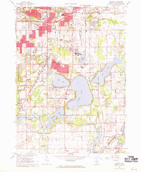 1967 Portage1969 Print · USGSThe suburbs of Kalamazoo and Portage were rapidly evolving in the late sixties as new schools and shopping centers met the lakefront. Researchers can trace local history through sites like Dry Prairie Cem, Ramona Park, and the Grand Trunk Western line.3 unique versions available
 - 1982 Map of Kalamazoo, 1983 Print
 1982 Kalamazoo1983 Print · USGSThe Kalamazoo River valley in the early eighties shows a landscape of growing suburban centers and heavy rail infrastructure. Genealogists and researchers can trace the limits of Kalamazoo and Battle Creek or locate landmarks like Fort Custer National Cemetery and Gull Lake.
 - 2011 Map of Vicksburg, 2011 Print
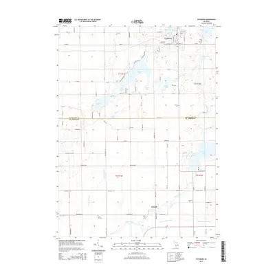
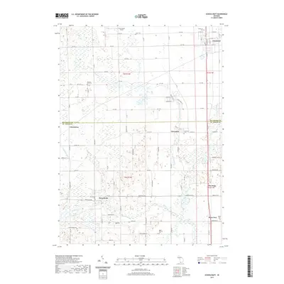
 2011 Vicksburg2011 Print · USGSCovers Schoolcraft Township, including Vicksburg, Schoolcraft, and other nearby areas
 - 2011 Map of Portage, 2011 Print
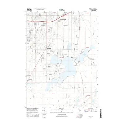
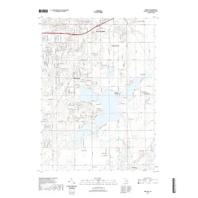
 2011 Portage2011 Print · USGSCovers Schoolcraft Township, including Kalamazoo, Portage, and other nearby areas
 - 2011 Map of Schoolcraft, 2011 Print
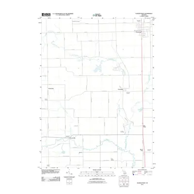 2011 Schoolcraft2011 Print · USGSCovers Schoolcraft Township, including Flowerfield, Schoolcraft, and other nearby areas
 - 2011 Map of Schoolcraft NW, 2011 Print
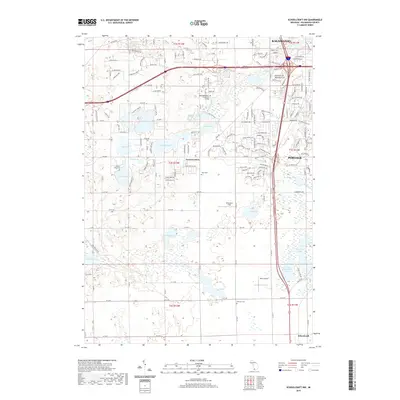
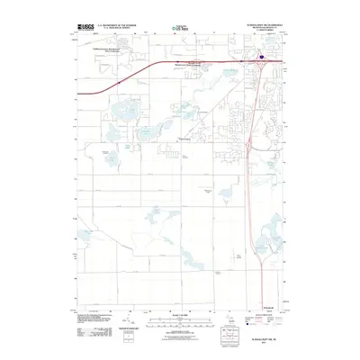 2011 Schoolcraft NW2011 Print · USGSCovers Schoolcraft Township, including Kalamazoo, Portage, and other nearby areas
 - 2014 Map of Vicksburg, 2014 Print
 2014 Vicksburg2014 Print · USGSCovers Schoolcraft Township, including Vicksburg, Schoolcraft, and other nearby areas
 - 2014 Map of Portage, 2014 Print
 2014 Portage2014 Print · USGSCovers Schoolcraft Township, including Kalamazoo, Portage, and other nearby areas
 - 2014 Map of Schoolcraft NW, 2014 Print
 2014 Schoolcraft NW2014 Print · USGSCovers Schoolcraft Township, including Kalamazoo, Portage, and other nearby areas
 - 2014 Map of Schoolcraft, 2014 Print
 2014 Schoolcraft2014 Print · USGSCovers Schoolcraft Township, including Flowerfield, Schoolcraft, and other nearby areas
 - 2017 Map of Portage, 2017 Print
 2017 Portage2017 Print · USGSCovers Schoolcraft Township, including Kalamazoo, Portage, and other nearby areas
 - 2017 Map of Schoolcraft, 2017 Print
 2017 Schoolcraft2017 Print · USGSCovers Schoolcraft Township, including Flowerfield, Schoolcraft, and other nearby areas
 - 2017 Map of Schoolcraft NW, 2017 Print
 2017 Schoolcraft NW2017 Print · USGSCovers Schoolcraft Township, including Kalamazoo, Portage, and other nearby areas
 - 2017 Map of Vicksburg, 2017 Print
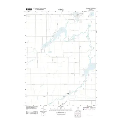
 2017 Vicksburg2017 Print · USGSCovers Schoolcraft Township, including Vicksburg, Schoolcraft, and other nearby areas
 - 2019 Map of Schoolcraft NW, 2019 Print
 2019 Schoolcraft NW2019 Print · USGSCovers Schoolcraft Township, including Kalamazoo, Portage, and other nearby areas
 - 2019 Map of Schoolcraft, 2019 Print
 2019 Schoolcraft2019 Print · USGSCovers Schoolcraft Township, including Flowerfield, Schoolcraft, and other nearby areas
 - 2019 Map of Portage, 2019 Print
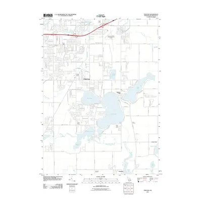
 2019 Portage2019 Print · USGSCovers Schoolcraft Township, including Kalamazoo, Portage, and other nearby areas
Showing maps 1-25 of 30
Top cities near Schoolcraft Township
- Kalamazoo historical maps
- Portage historical maps
- Three Rivers historical maps
- Pavilion historical maps
- Nottawa historical maps
- Fabius historical maps
See more
Top neighborhoods of Schoolcraft Township
Frequently asked questions
- What are the different types of historical maps available for Schoolcraft Township?
- What is the oldest map of Schoolcraft Township?
- Where can I purchase historical maps of Schoolcraft Township for my home or office?
- Where can I download high-res historical maps of Schoolcraft Township?
- Are there historical topographic maps available for Schoolcraft Township?
- Is there historical aerial imagery available for Schoolcraft Township?
- Where are historical maps of Schoolcraft Township sourced from?