2020s Maps of Kalkaska County, Michigan
Explore 15 historic maps of Kalkaska County from the 2020s. These maps offer a rare glimpse into what life looked like during the 2020s — showing old roads, neighborhoods, homes, and landmarks that have changed or disappeared over time.
Whether you're researching your family's past, planning a metal detecting trip, or studying how Kalkaska County's landscape evolved across the 2020s, these high-resolution maps are a powerful tool for exploring the history of this region.
- Focus on a specific era: All maps on this page are from the 2020s, giving you a focused view of this time period.
- See what’s changed: Compare century-old streets, trails, and buildings to today's modern landscape using overlays and satellite layers.
- Research with precision: Use these maps for genealogy, historical research, land use analysis, or educational projects.
- View, download, or print: Maps are fully viewable online in high resolution, and can be downloaded or printed for your own records.
Start exploring Kalkaska County's history through authentic maps from the 2020s. This is your window into the past.
Kalkaska County, MI maps
(15)- 2023 Map of Kalkaska, 2023 Print
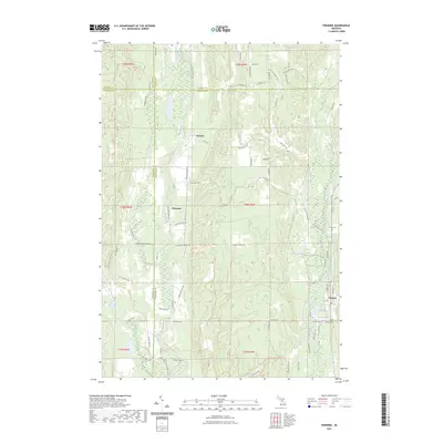
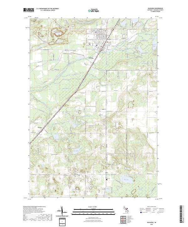 2023 Kalkaska2023 Print · USGSKalkaska and its surrounding northern Michigan wetlands are shown in great detail during the early 2020s. Genealogists and hikers can trace the North Country National Scenic Trl, locate Lodi Cem, or explore the environs of Crofton.
 - 2023 Map of Smithville, 2023 Print
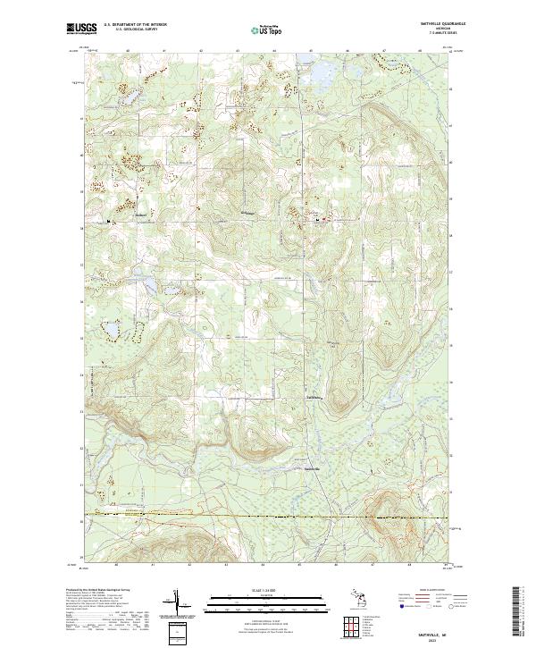 2023 Smithville2023 Print · USGSKalkaska and Missaukee Counties are documented here in the early 2020s, showcasing the rural landscape along the upper reaches of the Manistee River. Genealogists can locate family landmarks like Deibert Cem, Garfield Cem, and the old settlement of Taffeltown.
 - 2023 Map of South Boardman, 2023 Print
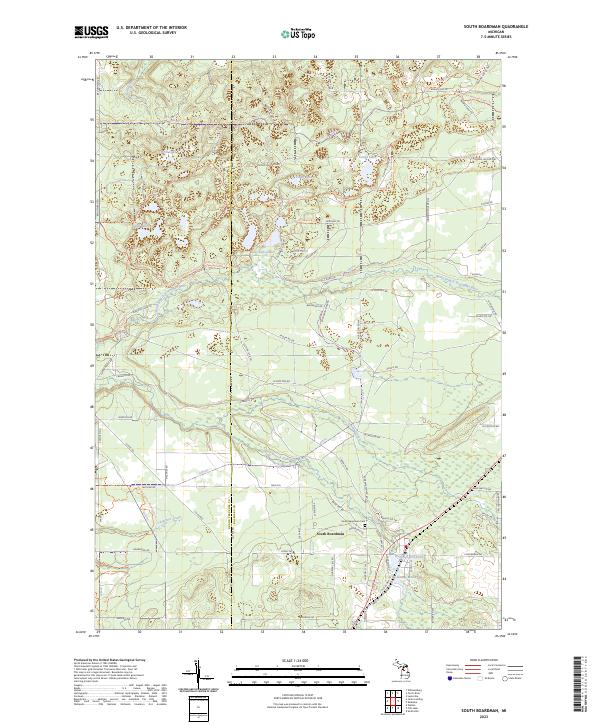 2023 South Boardman2023 Print · USGSSouth Boardman and the surrounding river branches are documented here during the early 2020s. Researchers can trace local heritage at the South Boardman Cem or study the hydraulic history of Wellman Mill Pond and Youngs Mill Pond.
 - 2023 Map of Westwood, 2023 Print
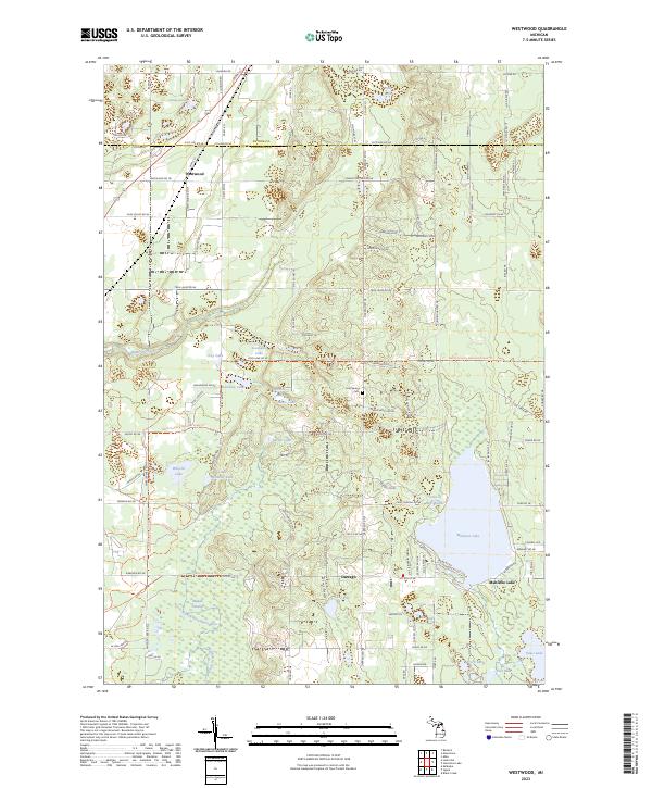 2023 Westwood2023 Print · USGSKalkaska County at the Antrim border is a landscape of glacial lakes and river headwaters. Researchers can trace the settlement at Westwood, the Cold Spring Cem, and the winding North Country National Scenic Trl.
 - 2023 Map of Sharon, 2023 Print
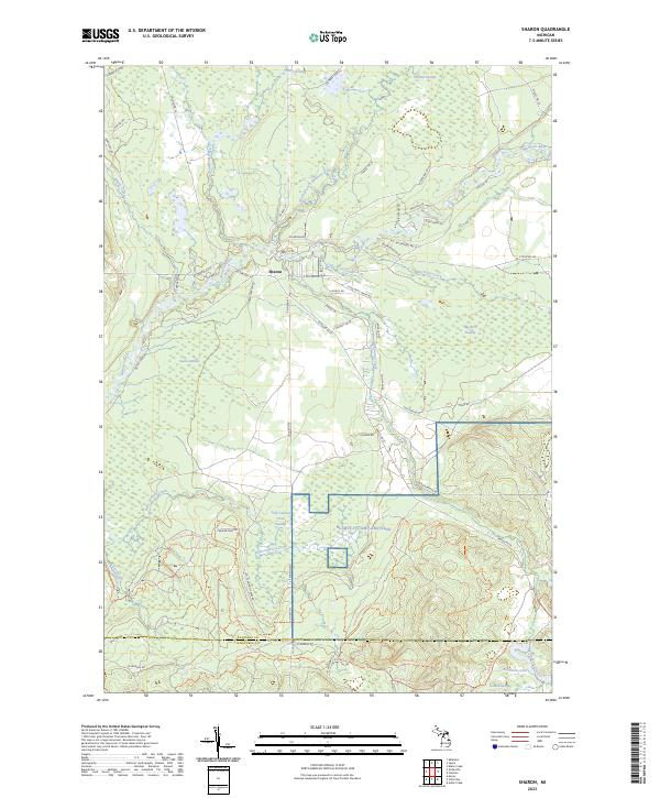 2023 Sharon2023 Print · USGSThe northern Michigan wetlands near Sharon are documented here in the early 2020s, showing the complex hydrology of the Manistee River valley. Researchers can trace the drainage patterns of O'Neil Swamp, Little Cannon Creek, and the isolated Horseshoe Lake 2.
 - 2023 Map of Leetsville, 2023 Print
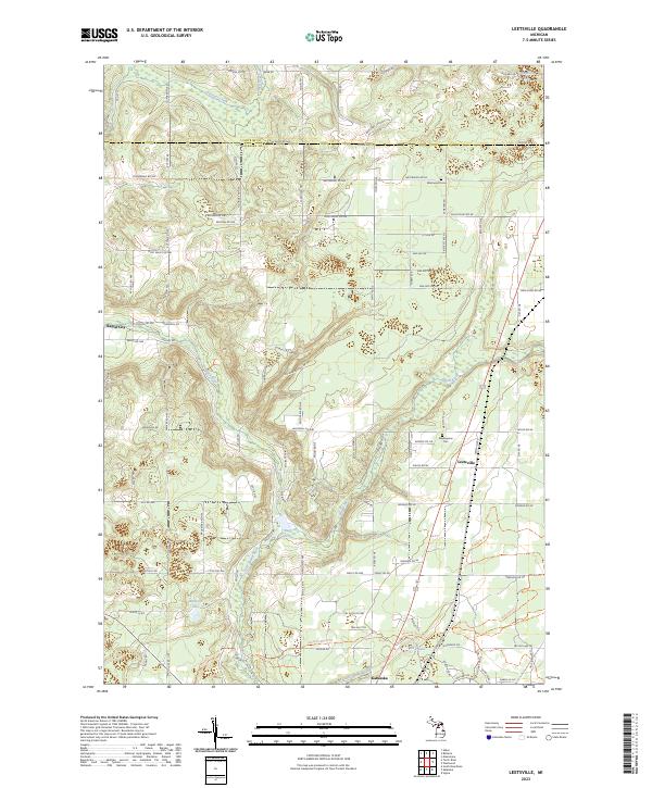 2023 Leetsville2023 Print · USGSAntrim and Kalkaska counties are documented here in the early 2020s, showing the rural settlements and waterways of northern Michigan. Researchers can trace family sites near Westwood Cem, follow the Rapid River, or locate the crossroads of Leetsville.
 - 2023 Map of Sigma, 2023 Print
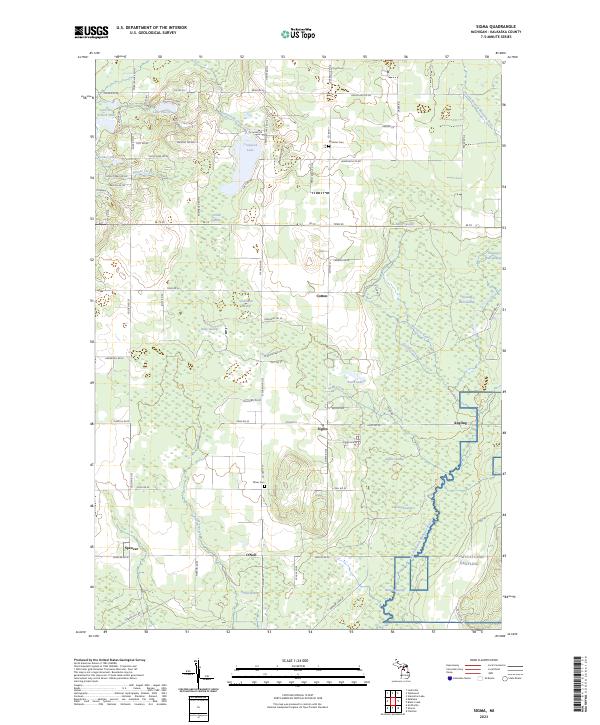 2023 Sigma2023 Print · USGSKalkaska County's interior at the edge of the Manistee National Forest is shown here in the 2020s. Genealogists and researchers can trace the roads around Sigma and Angling, or locate local landmarks like Excelsior Cem and the North Branch Manistee River.
 - 2023 Map of Fife Lake, 2023 Print
 2023 Fife Lake2023 Print · USGSFife Lake and the surrounding woodlands of Grand Traverse County are shown here in the 2020s, highlighting the area's complex water systems and small-town infrastructure. Genealogists and local historians can trace family roots at Saint Aloysius Cem or explore the route of the Great Lakes Central RR.
 - 2023 Map of Frederic, 2023 Print
 2023 Frederic2023 Print · USGSCrawford County's forested interior is captured here as a modern network of trails and historic river crossings. Genealogists can locate Shrine Cem and Oakwood Cem, while explorers can trace the heritage of Deward along the Manistee River.
 - 2023 Map of Torch River, 2023 Print
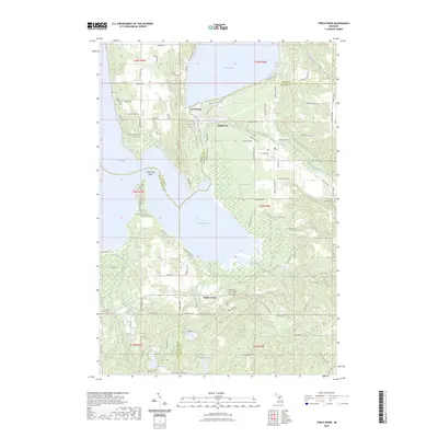 2023 Torch River2023 Print · USGSNorthern Michigan’s interlocking waterways are mapped here in the early twenty-first century, centered on the passage between Torch Lake and Lake Skegemog. Researchers can locate Saint Mary of the Woods Catholic Cem and trace the paths of Rapid River through Rapid City.
 - 2023 Map of Fletcher, 2023 Print
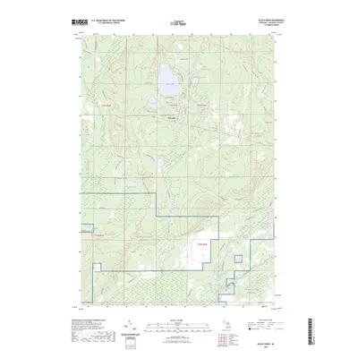
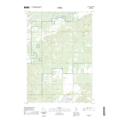 2023 Fletcher2023 Print · USGSThe borderlands of Kalkaska and Missaukee counties are shown here in the 2020s, dominated by state forest lands and the Manistee River corridor. Researchers can trace the extensive trail systems of the NG Mtc-H Camp Grayling and identify the small settlement of Fletcher.
 - 2023 Map of Lake Margrethe, 2023 Print
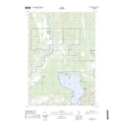 2023 Lake Margrethe2023 Print · USGSNear Grayling in the early 2020s, this landscape is shaped by the sprawling footprint of Camp Grayling and the waters of Lake Margrethe. Researchers can trace old shoreline sites like Danish Landing, find the Military Cem, or locate landmarks like Mount Franklin.
 - 2023 Map of Starvation Lake, 2023 Print
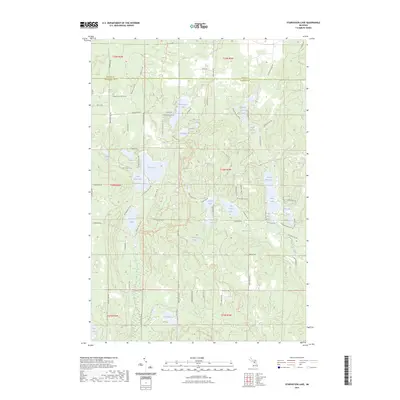 2023 Starvation Lake2023 Print · USGSKalkaska County at the start of the 2020s shows a landscape transformed by its glacial lakes and modern recreational growth. Genealogists and outdoor historians can trace property access and local landmarks from Starvation Lake to the North Country National Scenic Trail.
 - 2023 Map of Black Creek, 2023 Print
 2023 Black Creek2023 Print · USGSKalkaska County's lake-rich landscape is captured here in the early 2020s, showing the intersection of residential lakeside life and military training grounds. You can trace the shorelines of Bear Lake and Cub Lake or explore the vast southern reaches of NG MTC-H Camp Grayling.
 - 2023 Map of Cote Dame Marie, 2023 Print
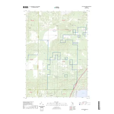 2023 Cote Dame Marie2023 Print · USGSIn the central woods of Northern Michigan, this recent survey captures the intersection of four counties and the sprawling grounds of Camp Grayling. Trace the local topography through landmarks like Vosges Ridge, find the Beaver Creek Cem, or explore the seasonal settlement at Tent City.
End of results
Showing maps 1-15 of 15
Frequently asked questions
- What are the different types of historical maps available for Kalkaska County?
- What is the oldest map of Kalkaska County?
- Where can I purchase historical maps of Kalkaska County for my home or office?
- Where can I download high-res historical maps of Kalkaska County?
- Are there historical topographic maps available for Kalkaska County?
- Is there historical aerial imagery available for Kalkaska County?
- Where are historical maps of Kalkaska County sourced from?