2000s (21st Century) Maps of Alpine Township, Michigan
Explore 10 historic maps of Alpine Township from the 2000s (21st Century). These maps offer a rare glimpse into what life looked like during the 2000s — showing old roads, neighborhoods, homes, and landmarks that have changed or disappeared over time.
Whether you're researching your family's past, planning a metal detecting trip, or studying how Alpine Township's landscape evolved across the 2000s, these high-resolution maps are a powerful tool for exploring the history of this region.
- Focus on a specific era: All maps on this page are from the 2000s, giving you a focused view of this time period.
- See what’s changed: Compare century-old streets, trails, and buildings to today's modern landscape using overlays and satellite layers.
- Research with precision: Use these maps for genealogy, historical research, land use analysis, or educational projects.
- View, download, or print: Maps are fully viewable online in high resolution, and can be downloaded or printed for your own records.
Start exploring Alpine Township's history through authentic maps from the 2000s. This is your window into the past.
Alpine Township, MI maps
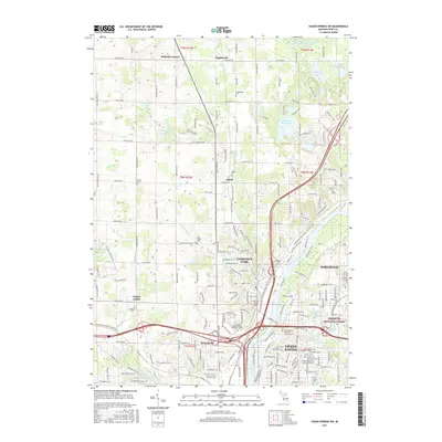
(10)- 2011 Map of Cedar Springs SW, 2011 Print
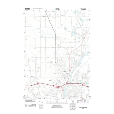 2011 Cedar Springs SW2011 Print · USGSCovers Alpine Township, including Grand Rapids, Plainfield Charter Township, and other nearby areas
 - 2011 Map of Marne, 2011 Print
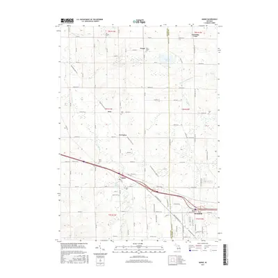
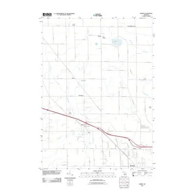 2011 Marne2011 Print · USGSCovers Alpine Township, including Walker, Wright, and other nearby areas
 - 2014 Map of Marne, 2014 Print
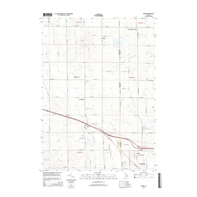 2014 Marne2014 Print · USGSCovers Alpine Township, including Walker, Wright, and other nearby areas
 - 2014 Map of Cedar Springs SW, 2014 Print
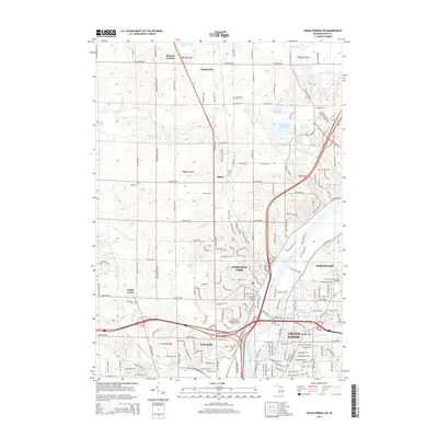 2014 Cedar Springs SW2014 Print · USGSCovers Alpine Township, including Grand Rapids, Plainfield Charter Township, and other nearby areas
 - 2017 Map of Marne, 2017 Print
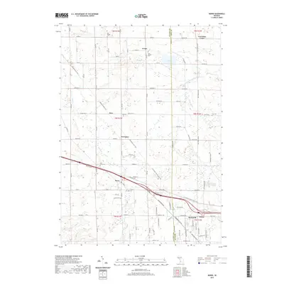
 2017 Marne2017 Print · USGSCovers Alpine Township, including Walker, Wright, and other nearby areas
 - 2017 Map of Cedar Springs SW, 2017 Print
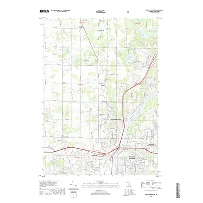
 2017 Cedar Springs SW2017 Print · USGSCovers Alpine Township, including Grand Rapids, Plainfield Charter Township, and other nearby areas
 - 2019 Map of Marne, 2019 Print
 2019 Marne2019 Print · USGSCovers Alpine Township, including Walker, Wright, and other nearby areas
 - 2019 Map of Cedar Springs SW, 2019 Print
 2019 Cedar Springs SW2019 Print · USGSCovers Alpine Township, including Grand Rapids, Plainfield Charter Township, and other nearby areas
 - 2023 Map of Marne, 2023 Print
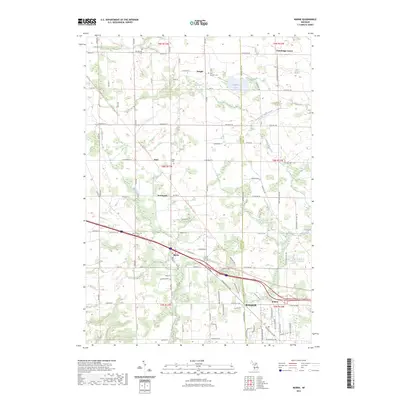 2023 Marne2023 Print · USGSOttawa County farmland and the growing community of Marne are shown here as they appear in the early 2020s. Genealogists can locate family sites at Wells Cem and Saint Joseph's Cem, or trace the paths of the Musketawa State Trl.
 - 2023 Map of Cedar Springs SW, 2023 Print
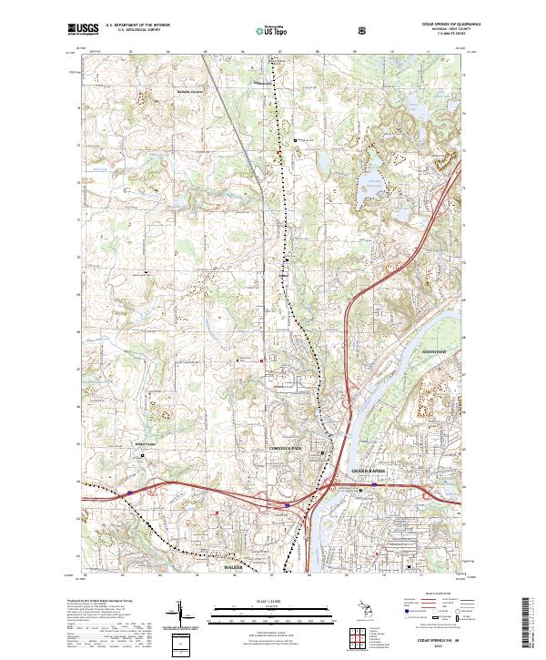 2023 Cedar Springs SW2023 Print · USGSNorthern Kent County and the Grand River valley come alive in this survey, showing the transition from city to country. Genealogists can trace family sites at Englishville Cem, Brooklawn Cem, or the Holy Trinity Cem.
End of results
Showing maps 1-10 of 10
Top cities near Alpine Township
- Grand Rapids historical maps
- Wyoming historical maps
- Kentwood historical maps
- Plainfield Charter Township historical maps
- Gaines Charter Township historical maps
- Byron Township historical maps
See more
Top neighborhoods of Alpine Township
- Englishville historical maps
- Ballards Corners historical maps
- Alpine historical maps
- Alpine Township historical maps
Frequently asked questions
- What are the different types of historical maps available for Alpine Township?
- What is the oldest map of Alpine Township?
- Where can I purchase historical maps of Alpine Township for my home or office?
- Where can I download high-res historical maps of Alpine Township?
- Are there historical topographic maps available for Alpine Township?
- Is there historical aerial imagery available for Alpine Township?
- Where are historical maps of Alpine Township sourced from?