Old Maps of Kentwood, Michigan for Genealogy
Trace your family roots with 31 historic maps of Kentwood. These high-res maps reveal old neighborhoods, homesites, landmarks, and streets — helping you uncover where your ancestors lived and how the area evolved over time.
- Explore historic neighborhoods: Identify where your relatives may have lived in the 1800s or 1900s.
- Compare maps over time: Trace the changes in streets, buildings, and landmarks for multi-generational research.
- Perfect for genealogy & ancestry research: Used by family historians and researchers to map out lineage and migration.
These maps are an incredible resource for exploring your personal connection to Kentwood's past.
Kentwood, MI maps
(31)- 1914 Map of Grand Rapids
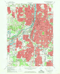
 1914 Grand Rapids1914 Print · USGSGrand Rapids and its southern townships are captured in detail just before the Great War, showing a landscape defined by river industry and rail lines. Local historians can trace early settlements and schools such as Kelloggsville and Red School, or locate family landmarks near Reeds Lake.5 unique versions available
 - 1943 Map of Grand Rapids
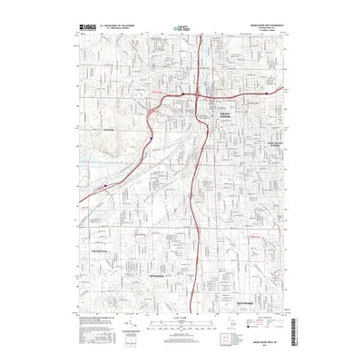
 1943 Grand Rapids1943 Print · USGSGrand Rapids and its surrounding Kent County townships are captured here in the early 1940s, showing a landscape defined by river industry and rail expansion. Genealogists can trace family roots through dozens of named rural schools like Sodom Sch, the County Farm, and early settlements like Byron Center.
 - 1958 Map of Grand Rapids, 1973 Print
 1958 Grand Rapids1973 Print · USGSSouthern Michigan at the peak of the postwar era shows a landscape of burgeoning cities and new interstate highways. Trace family roots and regional growth in Grand Rapids, Battle Creek, and the glacial lake country around Gun Lake or Gull Lake.2 unique versions available
 - 1961 Map of Grand Rapids
 1961 Grand Rapids1961 Print · USGSSouthern Michigan at the dawn of the 1960s reveals a region shaped by major river systems and a robust rail network. Trace mid-century industrial growth and land use from Grand Rapids to the Fort Custer Military Reservation and Gun Lake.
 - 1962 Map of Grand Rapids
 1962 Grand Rapids1962 Print · USGSMid-century Southern Michigan is mapped here at a time of massive growth, showing the expanding urban footprints of Grand Rapids and Lansing. Researchers can trace the legacy of the Grand Trunk Western RR, find historic boundaries of the Fort Custer Military Reservation, or locate sporting camps around Gun Lake.2 unique versions available
 - 1967 Map of Grand Rapids West, 1969 Print
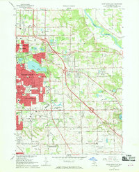
 1967 Grand Rapids West1969 Print · USGSThe Grand Rapids metropolitan area comes alive in the late sixties, showing the dense growth of Wyoming and Walker along the Grand River. Researchers can trace parish histories at St Andrews Cemetery or locate old industrial landmarks like the Kent Industrial Center.4 unique versions available
 - 1967 Map of Grand Rapids East, 1969 Print
 1967 Grand Rapids East1969 Print · USGSEastern Kent County during the late sixties shows a landscape in transition as suburbs press toward the Thornapple River. Genealogists and historians can trace institutional roots at Calvin Knollerest College, Woodlawn Cemetery, and the Kent County Airport.4 unique versions available
 - 1967 Map of Cutlerville, 1969 Print
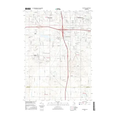
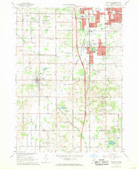 1967 Cutlerville1969 Print · USGSThe southern suburbs of Grand Rapids transition into Kent County farmland during the late sixties. Researchers can trace the development of Cutlerville and Byron Center alongside historic sites like Winchester Cem and Pine Hill.3 unique versions available
 - 1967 Map of Caledonia, 1969 Print
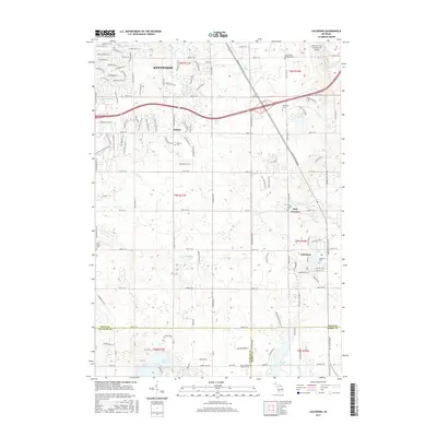
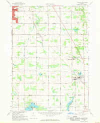 1967 Caledonia1969 Print · USGSThe area around Caledonia and Dutton is documented in the late 1960s as suburban growth begins to meet the rural landscape. Trace the Penn Central rail line and locate community landmarks like Holy Corners, Gaines Sch, and Hanna Lake.3 unique versions available
 - 1984 Map of Grand Rapids
 1984 Grand Rapids1984 Print · USGSWest Michigan in the mid-eighties shows a thriving metropolitan core surrounded by expansive state recreation areas and river valleys. Genealogists and local historians can trace developments around Grand Rapids, institutional landmarks like Grand Rapids Bible College, and the quiet reaches of Jordan Lake.
 - 1996 Map of Grand Rapids West, 1999 Print
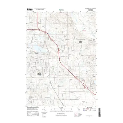
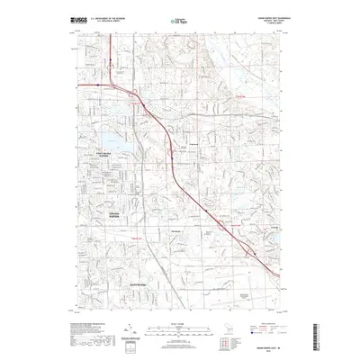
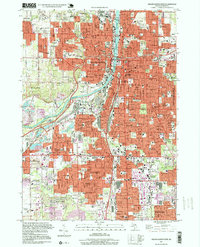 1996 Grand Rapids West1999 Print · USGSGrand Rapids and its neighboring suburbs are shown at a peak of late-twentieth-century development as the city expanded toward Wyoming and Kentwood. Genealogists and local historians can locate many historical burial sites and schools, including Greenwood Cemetery, Sacred Heart Sch, and the Fulton Street Cem.
 - 2011 Map of Caledonia, 2011 Print
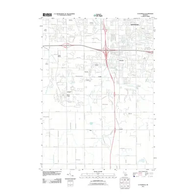
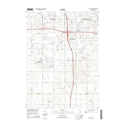
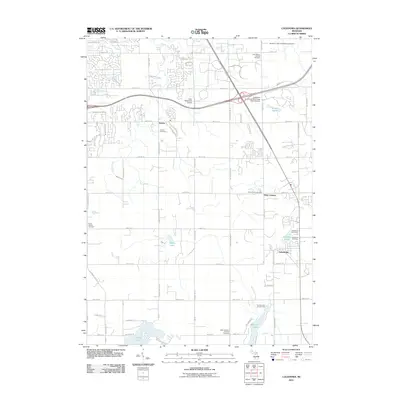 2011 Caledonia2011 Print · USGSCovers Kentwood, including Gaines Charter Township, Cascade Charter Township, and other nearby areas
 - 2011 Map of Grand Rapids East, 2011 Print
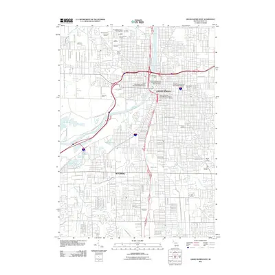
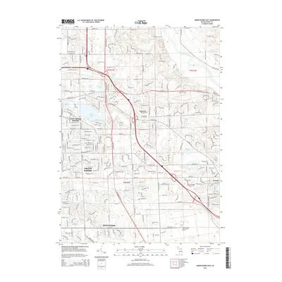
 2011 Grand Rapids East2011 Print · USGSCovers Kentwood, including Grand Rapids, Cascade Charter Township, and other nearby areas
 - 2011 Map of Grand Rapids West, 2011 Print
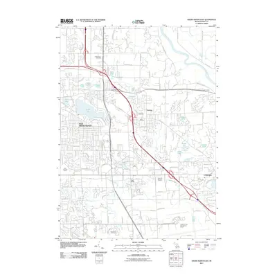
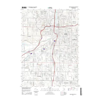
 2011 Grand Rapids West2011 Print · USGSCovers Kentwood, including Grand Rapids, Wyoming, and other nearby areas
 - 2011 Map of Cutlerville, 2011 Print
 2011 Cutlerville2011 Print · USGSCovers Kentwood, including Wyoming, Gaines Charter Township, and other nearby areas
 - 2014 Map of Grand Rapids West, 2014 Print
 2014 Grand Rapids West2014 Print · USGSCovers Kentwood, including Grand Rapids, Wyoming, and other nearby areas
 - 2014 Map of Caledonia, 2014 Print
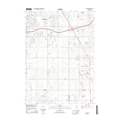 2014 Caledonia2014 Print · USGSCovers Kentwood, including Gaines Charter Township, Cascade Charter Township, and other nearby areas
 - 2014 Map of Grand Rapids East, 2014 Print
 2014 Grand Rapids East2014 Print · USGSCovers Kentwood, including Grand Rapids, Cascade Charter Township, and other nearby areas
 - 2014 Map of Cutlerville, 2014 Print
 2014 Cutlerville2014 Print · USGSCovers Kentwood, including Wyoming, Gaines Charter Township, and other nearby areas
 - 2017 Map of Cutlerville, 2017 Print
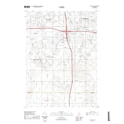
 2017 Cutlerville2017 Print · USGSCovers Kentwood, including Wyoming, Gaines Charter Township, and other nearby areas
 - 2017 Map of Caledonia, 2017 Print
 2017 Caledonia2017 Print · USGSCovers Kentwood, including Gaines Charter Township, Cascade Charter Township, and other nearby areas
 - 2017 Map of Grand Rapids West, 2017 Print
 2017 Grand Rapids West2017 Print · USGSCovers Kentwood, including Grand Rapids, Wyoming, and other nearby areas
 - 2017 Map of Grand Rapids East, 2017 Print
 2017 Grand Rapids East2017 Print · USGSCovers Kentwood, including Grand Rapids, Cascade Charter Township, and other nearby areas
 - 2019 Map of Grand Rapids East, 2019 Print
 2019 Grand Rapids East2019 Print · USGSCovers Kentwood, including Grand Rapids, Cascade Charter Township, and other nearby areas
 - 2019 Map of Cutlerville, 2019 Print
 2019 Cutlerville2019 Print · USGSCovers Kentwood, including Wyoming, Gaines Charter Township, and other nearby areas
Showing maps 1-25 of 31
Top cities near Kentwood
- Grand Rapids historical maps
- Wyoming historical maps
- Plainfield Charter Township historical maps
- Gaines Charter Township historical maps
- Byron Township historical maps
- Walker historical maps
See more
Top neighborhoods of Kentwood
Frequently asked questions
- What are the different types of historical maps available for Kentwood?
- What is the oldest map of Kentwood?
- Where can I purchase historical maps of Kentwood for my home or office?
- Where can I download high-res historical maps of Kentwood?
- Are there historical topographic maps available for Kentwood?
- Is there historical aerial imagery available for Kentwood?
- Where are historical maps of Kentwood sourced from?