2000s (21st Century) Maps of Dryden, Dryden Township
Explore 10 historic maps of Dryden from the 2000s (21st Century). These maps offer a rare glimpse into what life looked like during the 2000s — showing old roads, neighborhoods, homes, and landmarks that have changed or disappeared over time.
Whether you're researching your family's past, planning a metal detecting trip, or studying how Dryden's landscape evolved across the 2000s, these high-resolution maps are a powerful tool for exploring the history of this region.
- Focus on a specific era: All maps on this page are from the 2000s, giving you a focused view of this time period.
- See what’s changed: Compare century-old streets, trails, and buildings to today's modern landscape using overlays and satellite layers.
- Research with precision: Use these maps for genealogy, historical research, land use analysis, or educational projects.
- View, download, or print: Maps are fully viewable online in high resolution, and can be downloaded or printed for your own records.
Start exploring Dryden's history through authentic maps from the 2000s. This is your window into the past.
Dryden, Dryden Township maps
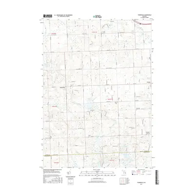
(10)- 2011 Map of Thornville, 2011 Print
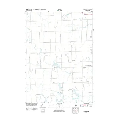 2011 Thornville2011 Print · USGSCovers Dryden, including Oxford Charter Township, Addison Township, and other nearby areas
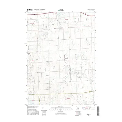
 - 2011 Map of Almont, 2011 Print
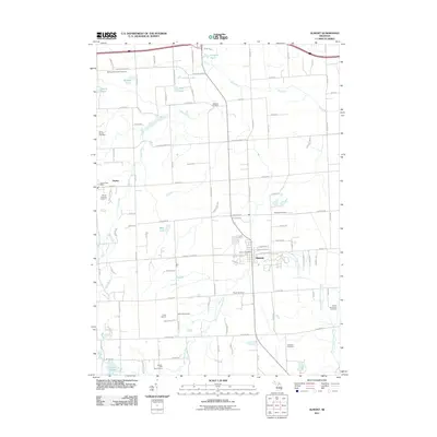 2011 Almont2011 Print · USGSCovers Dryden, including Addison Township, Imlay City, and other nearby areas
 - 2014 Map of Thornville, 2014 Print
 2014 Thornville2014 Print · USGSCovers Dryden, including Oxford Charter Township, Addison Township, and other nearby areas
 - 2014 Map of Almont, 2014 Print
 2014 Almont2014 Print · USGSCovers Dryden, including Addison Township, Imlay City, and other nearby areas
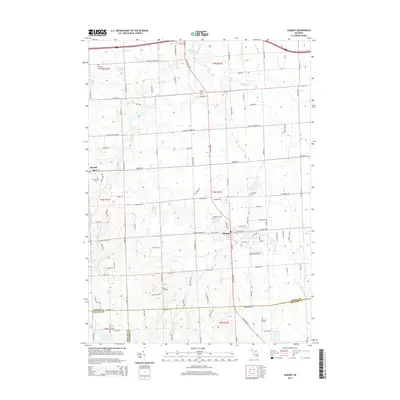
 - 2017 Map of Almont, 2017 Print
 2017 Almont2017 Print · USGSCovers Dryden, including Addison Township, Imlay City, and other nearby areas
 - 2017 Map of Thornville, 2017 Print
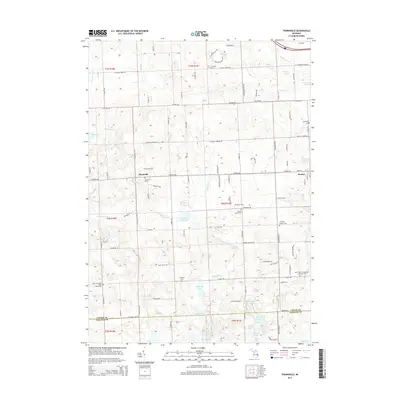
 2017 Thornville2017 Print · USGSCovers Dryden, including Oxford Charter Township, Addison Township, and other nearby areas
 - 2019 Map of Thornville, 2019 Print
 2019 Thornville2019 Print · USGSCovers Dryden, including Oxford Charter Township, Addison Township, and other nearby areas
 - 2019 Map of Almont, 2019 Print
 2019 Almont2019 Print · USGSCovers Dryden, including Addison Township, Imlay City, and other nearby areas
 - 2023 Map of Almont, 2023 Print
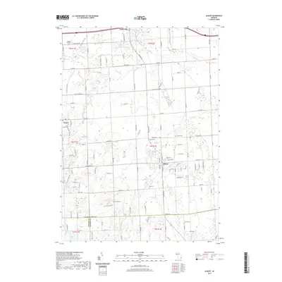
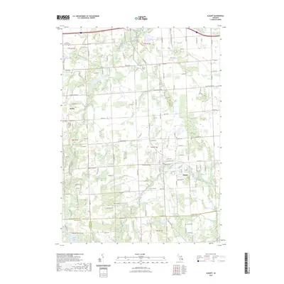 2023 Almont2023 Print · USGSThe village of Almont and nearby Dryden appear in this recent survey of the Lapeer County countryside. Researchers can trace local heritage through several burial grounds like Mount Pleasant Cem and Sand Hill Cem, or follow the Belle River.
 - 2023 Map of Thornville, 2023 Print
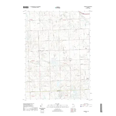
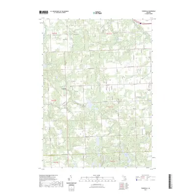 2023 Thornville2023 Print · USGSLapeer County is captured here in the early 2020s, showing a landscape of river-fed hamlets and rural cemeteries. Researchers can trace local lineages at Thornville Cem, Dryden Center Cem, or near the banks of the South Branch Flint River.
End of results
Showing maps 1-10 of 10
Top cities near Dryden
- Orion Charter Township historical maps
- Independence Charter Township historical maps
- Washington Charter Township historical maps
- Oxford Charter Township historical maps
- Oakland Charter Township historical maps
- Lapeer historical maps
See more
Frequently asked questions
- What are the different types of historical maps available for Dryden?
- What is the oldest map of Dryden?
- Where can I purchase historical maps of Dryden for my home or office?
- Where can I download high-res historical maps of Dryden?
- Are there historical topographic maps available for Dryden?
- Is there historical aerial imagery available for Dryden?
- Where are historical maps of Dryden sourced from?