Old Maps of Centerville Township, Michigan for Genealogy
Trace your family roots with 14 historic maps of Centerville Township. These high-res maps reveal old neighborhoods, homesites, landmarks, and streets — helping you uncover where your ancestors lived and how the area evolved over time.
- Explore historic neighborhoods: Identify where your relatives may have lived in the 1800s or 1900s.
- Compare maps over time: Trace the changes in streets, buildings, and landmarks for multi-generational research.
- Perfect for genealogy & ancestry research: Used by family historians and researchers to map out lineage and migration.
These maps are an incredible resource for exploring your personal connection to Centerville Township's past.
Centerville Township, MI maps
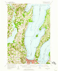
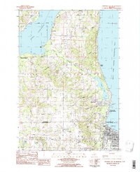
(14)- 1954 Map of Traverse City, 1965 Print
 1954 Traverse City1965 Print · USGSCovers Centerville Township, including Garfield Township, Garfield Charter Township, and other nearby areas4 unique versions available
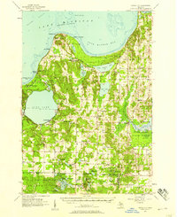
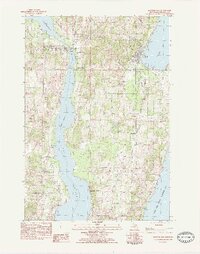
 - 1957 Map of Traverse City, 1958 Print
 1957 Traverse City1958 Print · USGSCovers Centerville Township, including Garfield Township, Traverse City, and other nearby areas2 unique versions available
 - 1957 Map of Maple City, 1958 Print
 1957 Maple City1958 Print · USGSCovers Centerville Township, including Long Lake Township, Solon, and other nearby areas3 unique versions available
 - 1958 Map of Traverse City
 1958 Traverse City1958 Print · USGSCovers Centerville Township, including Garfield Township, Garfield Charter Township, and other nearby areas2 unique versions available
 - 1983 Map of Maple City, 1984 Print
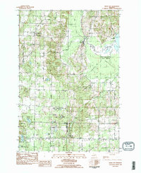 1983 Maple City1984 Print · USGSCovers Centerville Township, including Long Lake Township, Solon, and other nearby areas2 unique versions available
 - 1983 Map of Traverse City, 1984 Print
 1983 Traverse City1984 Print · USGSCovers Centerville Township, including Garfield Township, Garfield Charter Township, and other nearby areas2 unique versions available
 - 1983 Map of Good Harbor Bay, 1984 Print
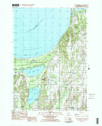 1983 Good Harbor Bay1984 Print · USGSCovers Centerville Township, including Bodus, Leland Township, and other nearby areas2 unique versions available
 - 1983 Map of Traverse City SW, 1984 Print
 1983 Traverse City SW1984 Print · USGSCovers Centerville Township, including Garfield Township, Traverse City, and other nearby areas2 unique versions available
 - 1983 Map of Suttons Bay, 1984 Print
 1983 Suttons Bay1984 Print · USGSCovers Centerville Township, including Bingham, Suttons Bay, and other nearby areas2 unique versions available
 - 1989 Map of Traverse City, 1990 Print
 1989 Traverse City1990 Print · USGSCovers Centerville Township, including Garfield Township, Garfield Charter Township, and other nearby areas
 - 2023 Map of Maple City, 2023 Print
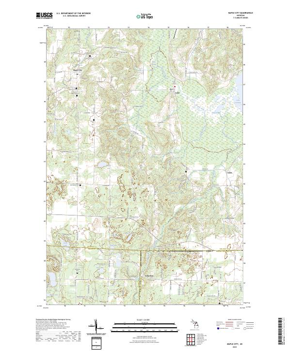 2023 Maple City2023 Print · USGSCovers Centerville Township, including Long Lake Township, Solon, and other nearby areas
 - 2023 Map of Traverse City SW, 2023 Print
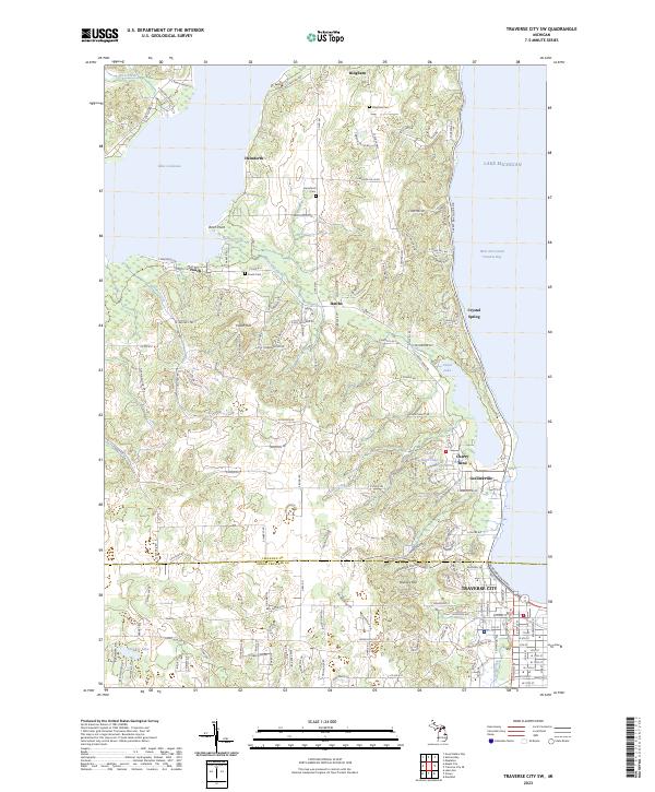 2023 Traverse City SW2023 Print · USGSCovers Centerville Township, including Garfield Township, Traverse City, and other nearby areas
 - 2023 Map of Good Harbor Bay, 2023 Print
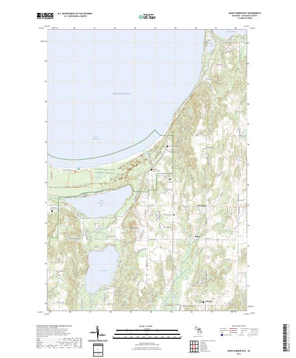 2023 Good Harbor Bay2023 Print · USGSCovers Centerville Township, including Isadore, Leland Township, and other nearby areas
 - 2023 Map of Suttons Bay, 2023 Print
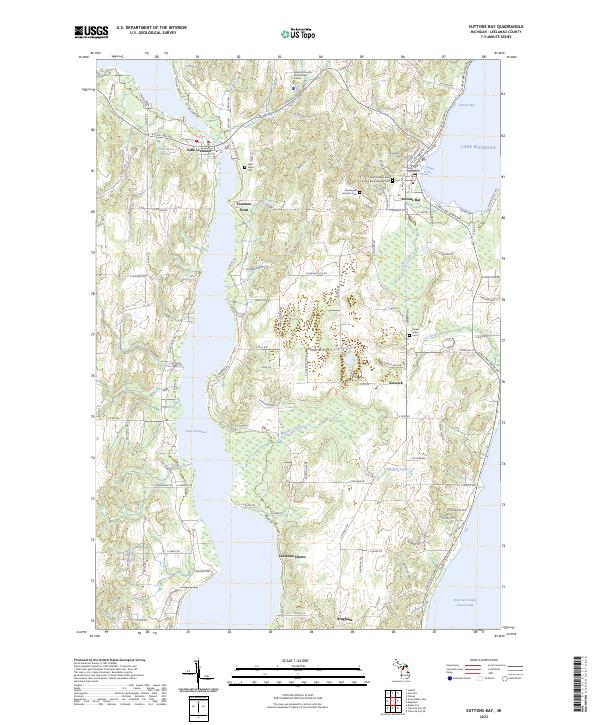 2023 Suttons Bay2023 Print · USGSCovers Centerville Township, including Bingham, Suttons Bay, and other nearby areas
End of results
Showing maps 1-14 of 14
Top cities near Centerville Township
- Garfield Charter Township historical maps
- Garfield Township historical maps
- Traverse City historical maps
- East Bay Township historical maps
- Long Lake Township historical maps
- Long Lake Charter Township historical maps
See more
Top neighborhoods of Centerville Township
Frequently asked questions
- What are the different types of historical maps available for Centerville Township?
- What is the oldest map of Centerville Township?
- Where can I purchase historical maps of Centerville Township for my home or office?
- Where can I download high-res historical maps of Centerville Township?
- Are there historical topographic maps available for Centerville Township?
- Is there historical aerial imagery available for Centerville Township?
- Where are historical maps of Centerville Township sourced from?