2000s (21st Century) Maps of Adrian Township, Michigan
Explore 10 historic maps of Adrian Township from the 2000s (21st Century). These maps offer a rare glimpse into what life looked like during the 2000s — showing old roads, neighborhoods, homes, and landmarks that have changed or disappeared over time.
Whether you're researching your family's past, planning a metal detecting trip, or studying how Adrian Township's landscape evolved across the 2000s, these high-resolution maps are a powerful tool for exploring the history of this region.
- Focus on a specific era: All maps on this page are from the 2000s, giving you a focused view of this time period.
- See what’s changed: Compare century-old streets, trails, and buildings to today's modern landscape using overlays and satellite layers.
- Research with precision: Use these maps for genealogy, historical research, land use analysis, or educational projects.
- View, download, or print: Maps are fully viewable online in high resolution, and can be downloaded or printed for your own records.
Start exploring Adrian Township's history through authentic maps from the 2000s. This is your window into the past.
Adrian Township, MI maps
(10)- 2011 Map of Adrian, 2011 Print
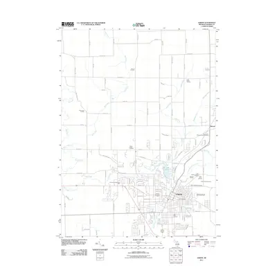 2011 Adrian2011 Print · USGSCovers Adrian Township, including Adrian, Dover Township, and other nearby areas
 - 2011 Map of Rome Center, 2011 Print
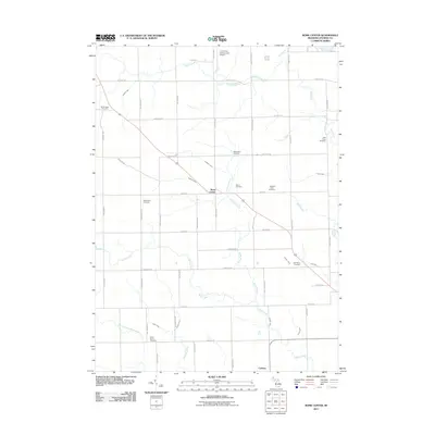 2011 Rome Center2011 Print · USGSCovers Adrian Township, including Rollin Township, Onsted, and other nearby areas
 - 2014 Map of Adrian, 2014 Print
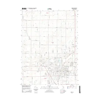 2014 Adrian2014 Print · USGSCovers Adrian Township, including Adrian, Dover Township, and other nearby areas
 - 2014 Map of Rome Center, 2014 Print
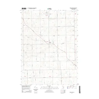 2014 Rome Center2014 Print · USGSCovers Adrian Township, including Rollin Township, Onsted, and other nearby areas
 - 2017 Map of Adrian, 2017 Print
 2017 Adrian2017 Print · USGSCovers Adrian Township, including Adrian, Dover Township, and other nearby areas
 - 2017 Map of Rome Center, 2017 Print
 2017 Rome Center2017 Print · USGSCovers Adrian Township, including Rollin Township, Onsted, and other nearby areas
 - 2019 Map of Rome Center, 2019 Print
 2019 Rome Center2019 Print · USGSCovers Adrian Township, including Rollin Township, Onsted, and other nearby areas
 - 2019 Map of Adrian, 2019 Print
 2019 Adrian2019 Print · USGSCovers Adrian Township, including Adrian, Dover Township, and other nearby areas
 - 2023 Map of Adrian, 2023 Print
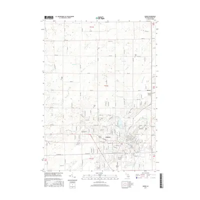
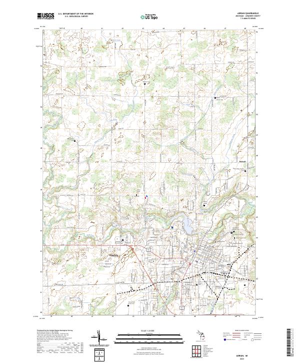 2023 Adrian2023 Print · USGSAdrian and its surrounding townships are shown here in detail during the early 2020s, highlighting the area's rich civic and educational landscape. Genealogists and local historians can trace legacy sites like Adrian College, Oakwood Cem, and the Raisin Valley Friends Cem.
 - 2023 Map of Rome Center, 2023 Print
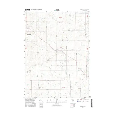
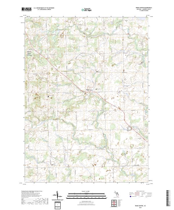 2023 Rome Center2023 Print · USGSThis part of Lenawee County remains a deeply agricultural landscape defined by its grid of country highways and numerous pioneer burial grounds. Genealogists can trace family names at sites like Halstead Farm Cem, Rome Center, and North Dover Cem.
End of results
Showing maps 1-10 of 10
Top cities near Adrian Township
- Adrian historical maps
- Tecumseh historical maps
- Napoleon historical maps
- Lodi Township historical maps
- Manchester Township historical maps
- Blissfield historical maps
See more
Top neighborhoods of Adrian Township
Frequently asked questions
- What are the different types of historical maps available for Adrian Township?
- What is the oldest map of Adrian Township?
- Where can I purchase historical maps of Adrian Township for my home or office?
- Where can I download high-res historical maps of Adrian Township?
- Are there historical topographic maps available for Adrian Township?
- Is there historical aerial imagery available for Adrian Township?
- Where are historical maps of Adrian Township sourced from?