Old Maps of Ogden Township, Michigan for Hiking & Exploration
Hike through history with 29 historic maps of Ogden Township. Explore old trails, ghost towns, and forgotten backroads — perfect for outdoor adventurers and local explorers.
- Rediscover forgotten places: Map out old mining camps, roads, and footpaths that no longer exist on modern maps.
- Layer with modern tools: Combine with LiDAR or satellite views to plan hikes through historical terrain.
- Made for exploration: Popular among hikers, overlanders, and local history lovers.
Use these maps to find adventure and explore the hidden past of Ogden Township.
Ogden Township, MI maps
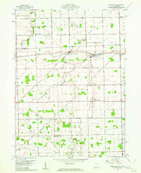
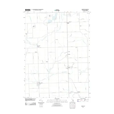
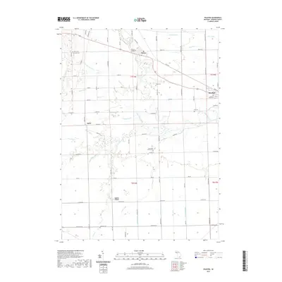
(29)- 1911 Map of Swanton, 1956 Print
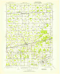 1911 Swanton1956 Print · USGSNorthwest Ohio and the Michigan border are captured here just before the era of major highway expansion. Genealogists can trace early twentieth-century property locations near Metamora, Raab Corners, and numerous rural schoolhouses like Frogpond School.
 - 1914 Map of Swanton, 1937 Print
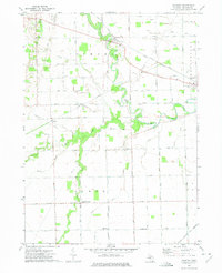
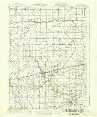 1914 Swanton1937 Print · USGSThe Ohio-Michigan borderlands come alive in this era of peak rail transit and rural schoolhouse density. Genealogists and historians can trace family roots through numerous local landmarks like Metamora, Richfield Center, and uniquely named sites such as Huckleberry School or Frogpond School.
 - 1939 Map of Blissfield, 1958 Print
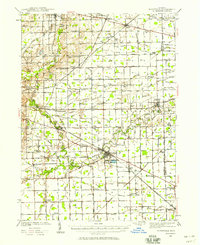 1939 Blissfield1958 Print · USGSSoutheastern Michigan agriculture and industry are in full view during the late 1930s as a dense network of railroads and rivers connects small farm towns. Local historians can trace the locations of dozens of vanished schools like Ford Sch and rail junctions like Lenawee Junction.
 - 1941 Map of Blissfield
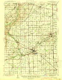 1941 Blissfield1941 Print · USGSSoutheastern Michigan is captured here just before the war, showcasing a landscape defined by the winding Raisin River and its busy rail corridors. Genealogists and historians can trace dozens of country schoolhouses like Centennial Sch and family landmarks near Blissfield and Lenawee Junction.2 unique versions available
 - 1953 Map of Fort Wayne, 1963 Print
 1953 Fort Wayne1963 Print · USGSNortheast Indiana and its neighboring borderlands in Michigan and Ohio appear here during a peak era of rail and road expansion. Researchers can trace the massive rail networks of the Nickel Plate Road and Wabash or locate lakeside landmarks like Lake Wawasee and Clear Lake.4 unique versions available
 - 1956 Map of Fort Wayne
 1956 Fort Wayne1956 Print · USGSThe tri-state borderlands of Indiana, Michigan, and Ohio are captured here in the mid-fifties, centered on the growing industrial hub of Fort Wayne. Researchers can trace the heavy rail lines of the New York Central and Pennsylvania alongside prominent water features like Lake Wawasee and the Maumee River.2 unique versions available
 - 1956 Map of Toledo, 1968 Print
 1956 Toledo1968 Print · USGSNorthwest Ohio and the Lake Erie shoreline are shown in detail during the late fifties, showcasing a landscape of heavy industry, railroads, and island communities. Genealogists and historians can trace rail networks like the Chesapeake & Ohio RR or locate landmarks such as the Erie Proving Ground and Kelleys Island.4 unique versions available
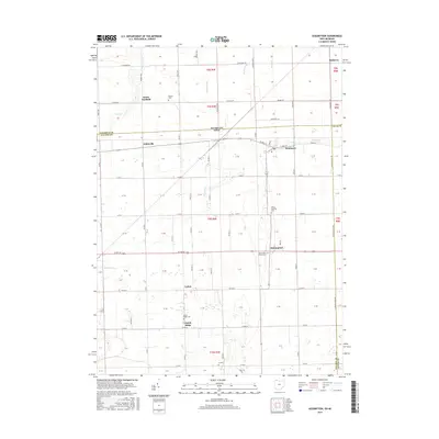
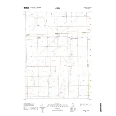
 - 1960 Map of Assumption, 1962 Print
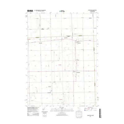
 1960 Assumption1962 Print · USGSFulton County and the borderlands of Lenawee County appear here in a period of quiet agricultural stability. Researchers can trace the Detroit Toledo and Ironton rail line through Metamora or locate rural sites like Lytton and Peebles Cem.3 unique versions available
 - 1961 Map of Toledo
 1961 Toledo1961 Print · USGSThe western basin of Lake Erie and the industrial heart of Northern Ohio are captured here during the post-war era. Researchers can trace historical rail lines like the New York Central or locate landmarks like the Erie Ordnance Depot and Pelee Island.
 - 1962 Map of Jasper, 1963 Print
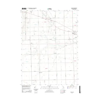
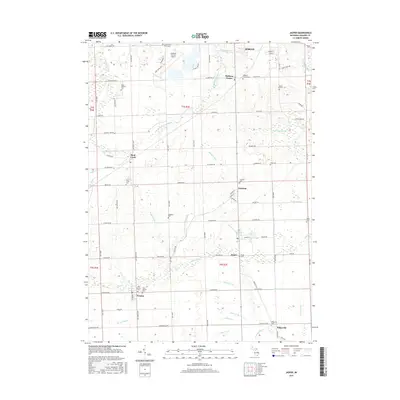
 1962 Jasper1963 Print · USGSSouthern Michigan's farm country near the Ohio line comes into focus in this early sixties survey. Genealogists can trace family names along Hoadley Dr and Anderson Dr, while exploring local hubs like Weston and Jasper along the New York Central Railroad.2 unique versions available
 - 1972 Map of Palmyra, 1975 Print
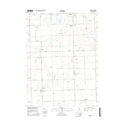
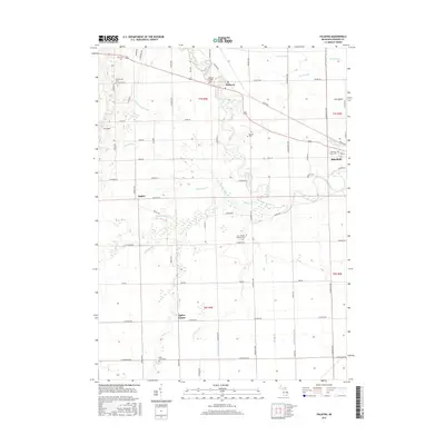
 1972 Palmyra1975 Print · USGSSoutheast Michigan's agricultural heartland is captured here in the early seventies, centered on the winding Raisin River. Genealogists and historians can trace family locations near Ogden Center, find rural landmarks like Zion Ch, and follow the path of the Detroit and Ironton rail line.
 - 1985 Map of Adrian
 1985 Adrian1985 Print · USGSThe tri-state borderlands of Michigan, Indiana, and Ohio were well-established by the mid-1980s, characterized by a dense network of glacial lakes and agricultural rail hubs. Genealogists and historians can trace rail lines like the Norfolk and Western Railway and locate landmarks such as the Old Indian Treaty Cem or Riverside Cem.
 - 1986 Map of Toledo
 1986 Toledo1986 Print · USGSGreater Toledo and the Lake Erie shoreline are captured here in the mid-eighties, showcasing a massive network of industrial waterways and rail lines. You can trace the path of the Maumee River past Rossford or explore the conservation lands at Ottawa National Wildlife Refuge.2 unique versions available
 - 1990 Map of Adrian, 1991 Print
 1990 Adrian1991 Print · USGSThe Michigan and Ohio borderlands come alive in the final decade of the twentieth century, showing the intricate network of glacial lakes and small-town junctions. Genealogists and local researchers can pinpoint family landmarks from Lakeview Cem to the rail sidings of the Conrail and Norfolk Southern lines.
 - 2011 Map of Palmyra, 2011 Print
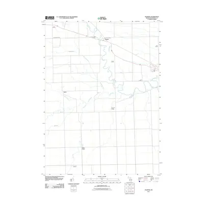 2011 Palmyra2011 Print · USGSCovers Ogden Township, including Blissfield, Palmyra, and other nearby areas
 - 2011 Map of Assumption, 2011 Print
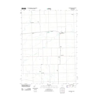 2011 Assumption2011 Print · USGSCovers Ogden Township, including Metamora, Fairfield Township, and other nearby areas
 - 2011 Map of Jasper, 2011 Print
 2011 Jasper2011 Print · USGSCovers Ogden Township, including Adrian, Fairfield, and other nearby areas
 - 2013 Map of Assumption, 2013 Print
 2013 Assumption2013 Print · USGSCovers Ogden Township, including Metamora, Fairfield Township, and other nearby areas
 - 2014 Map of Palmyra, 2014 Print
 2014 Palmyra2014 Print · USGSCovers Ogden Township, including Blissfield, Palmyra, and other nearby areas
 - 2014 Map of Jasper, 2014 Print
 2014 Jasper2014 Print · USGSCovers Ogden Township, including Adrian, Fairfield, and other nearby areas
 - 2016 Map of Assumption, 2016 Print
 2016 Assumption2016 Print · USGSCovers Ogden Township, including Metamora, Fairfield Township, and other nearby areas
 - 2017 Map of Jasper, 2017 Print
 2017 Jasper2017 Print · USGSCovers Ogden Township, including Adrian, Fairfield, and other nearby areas
 - 2017 Map of Palmyra, 2017 Print
 2017 Palmyra2017 Print · USGSCovers Ogden Township, including Blissfield, Palmyra, and other nearby areas
 - 2019 Map of Assumption, 2019 Print
 2019 Assumption2019 Print · USGSCovers Ogden Township, including Metamora, Fairfield Township, and other nearby areas
 - 2019 Map of Palmyra, 2019 Print
 2019 Palmyra2019 Print · USGSCovers Ogden Township, including Blissfield, Palmyra, and other nearby areas
Showing maps 1-25 of 29
Top cities near Ogden Township
- Adrian historical maps
- Sylvania historical maps
- Maumee historical maps
- Tecumseh historical maps
- Wauseon historical maps
- Monclova historical maps
See more
Top neighborhoods of Ogden Township
Frequently asked questions
- What are the different types of historical maps available for Ogden Township?
- What is the oldest map of Ogden Township?
- Where can I purchase historical maps of Ogden Township for my home or office?
- Where can I download high-res historical maps of Ogden Township?
- Are there historical topographic maps available for Ogden Township?
- Is there historical aerial imagery available for Ogden Township?
- Where are historical maps of Ogden Township sourced from?