2020s Maps of Pentland Township, Michigan
Explore 8 historic maps of Pentland Township from the 2020s. These maps offer a rare glimpse into what life looked like during the 2020s — showing old roads, neighborhoods, homes, and landmarks that have changed or disappeared over time.
Whether you're researching your family's past, planning a metal detecting trip, or studying how Pentland Township's landscape evolved across the 2020s, these high-resolution maps are a powerful tool for exploring the history of this region.
- Focus on a specific era: All maps on this page are from the 2020s, giving you a focused view of this time period.
- See what’s changed: Compare century-old streets, trails, and buildings to today's modern landscape using overlays and satellite layers.
- Research with precision: Use these maps for genealogy, historical research, land use analysis, or educational projects.
- View, download, or print: Maps are fully viewable online in high resolution, and can be downloaded or printed for your own records.
Start exploring Pentland Township's history through authentic maps from the 2020s. This is your window into the past.
Pentland Township, MI maps
(8)- 2023 Map of Gilchrist, 2023 Print
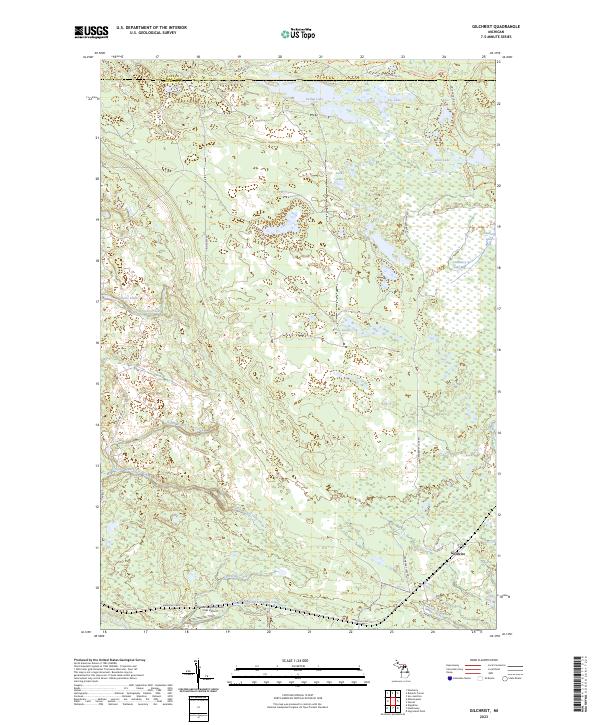 2023 Gilchrist2023 Print · USGSUpper Peninsula timberlands and wetlands are documented in this recent survey of the Mackinac and Luce county line. Researchers can trace the layout of the Gilchrist settlement or locate landmarks like the Hiawatha Sportsmans Club Airport and Cranberry Lake Bog.
 - 2023 Map of Garnet, 2023 Print
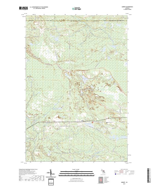 2023 Garnet2023 Print · USGSMackinac County in the early twenty-first century reveals a landscape shaped by water and timber trails. Genealogists and local historians can trace the area around Garnet and Maplewood Cem, or explore the backcountry roads near Big Dollar Lake.
 - 2023 Map of Roberts Corner, 2023 Print
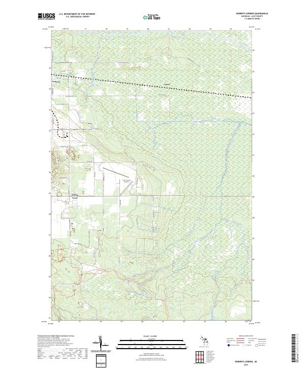 2023 Roberts Corner2023 Print · USGSLuce County in the 2020s shows a landscape defined by the Tahquamenon River and the rural outskirts of Newberry. Researchers can trace the modern road and trail networks through Roberts Corner or locate the Luce County Airport and the Sage River.
 - 2023 Map of Hulbert, 2023 Print
 2023 Hulbert2023 Print · USGSChippewa County is defined by the wetlands and winding river branches of the Upper Peninsula in this modern survey. Researchers can trace the layout of Hulbert, locate the Hulbert Cem, and follow the courses of the Hendrie River and Riley Creek.
 - 2023 Map of Soo Junction, 2023 Print
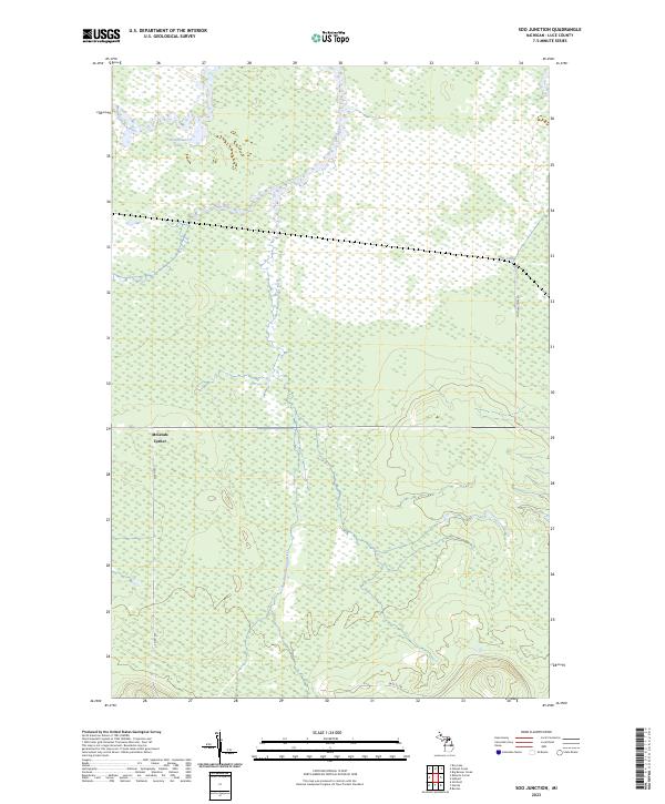 2023 Soo Junction2023 Print · USGSThe Upper Peninsula wilderness of Luce County is shown in this modern survey, highlighting the complex waterways of the Michigan backcountry. Genealogists and outdoorsmen can trace the route of Soo Junction Rd near McLeods Corner and the path of the Tahquamenon River.
 - 2023 Map of Millecoquins, 2023 Print
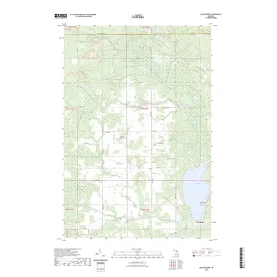 2023 Millecoquins2023 Print · USGSMackinac County's wetlands and waterways are mapped here in the modern era, centered on the expansive Millecoquins Lake. Researchers can locate the Bethlehem Lutheran Cem and trace the paths of the Upper Millecoquins River and Hiawatha Trail.
 - 2023 Map of Rexton, 2023 Print
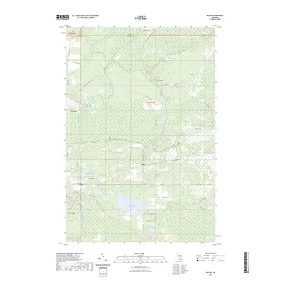 2023 Rexton2023 Print · USGSMackinac County's timber and marshlands are documented here in the early twenty-first century, centered on the communities of Rexton and Caffey. Genealogists and outdoor historians can locate the Caffey Cemetery and trace old transit routes like Dinkey Line Road and the Hiawatha Trail.
 - 2023 Map of Newberry, 2023 Print
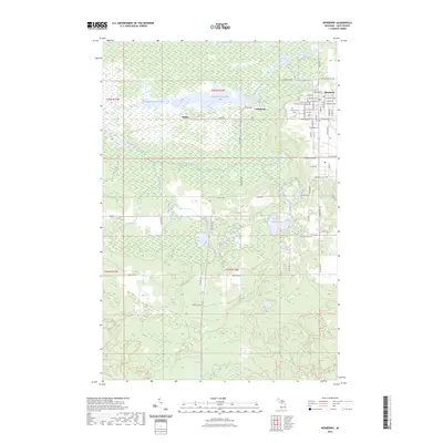 2023 Newberry2023 Print · USGSNewberry and the Tahquamenon River valley are shown in this contemporary survey of Luce County. Genealogists and local historians can locate Forest Home Cem, the Luce County Government Building, and the former sites of Dollarville and Natalie.
End of results
Showing maps 1-8 of 8
Top cities near Pentland Township
Top neighborhoods of Pentland Township
Frequently asked questions
- What are the different types of historical maps available for Pentland Township?
- What is the oldest map of Pentland Township?
- Where can I purchase historical maps of Pentland Township for my home or office?
- Where can I download high-res historical maps of Pentland Township?
- Are there historical topographic maps available for Pentland Township?
- Is there historical aerial imagery available for Pentland Township?
- Where are historical maps of Pentland Township sourced from?