2020s Maps of Mackinac County, Michigan
Explore 46 historic maps of Mackinac County from the 2020s. These maps offer a rare glimpse into what life looked like during the 2020s — showing old roads, neighborhoods, homes, and landmarks that have changed or disappeared over time.
Whether you're researching your family's past, planning a metal detecting trip, or studying how Mackinac County's landscape evolved across the 2020s, these high-resolution maps are a powerful tool for exploring the history of this region.
- Focus on a specific era: All maps on this page are from the 2020s, giving you a focused view of this time period.
- See what’s changed: Compare century-old streets, trails, and buildings to today's modern landscape using overlays and satellite layers.
- Research with precision: Use these maps for genealogy, historical research, land use analysis, or educational projects.
- View, download, or print: Maps are fully viewable online in high resolution, and can be downloaded or printed for your own records.
Start exploring Mackinac County's history through authentic maps from the 2020s. This is your window into the past.
Mackinac County, MI maps
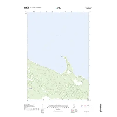
(46)- 2023 Map of Hessel, 2023 Print
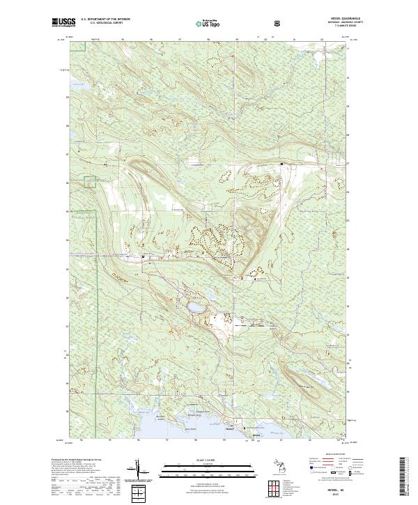 2023 Hessel2023 Print · USGSThe northern Lake Huron shoreline near Hessel comes into focus in the early 2020s, showing a landscape of coastal bays and deep forests. Trace local family history at Father Marquette's Cem or explore the terrain around Peek-A-Boo Hill and Hessel Bay.
 - 2023 Map of Big Stone Bay, 2023 Print
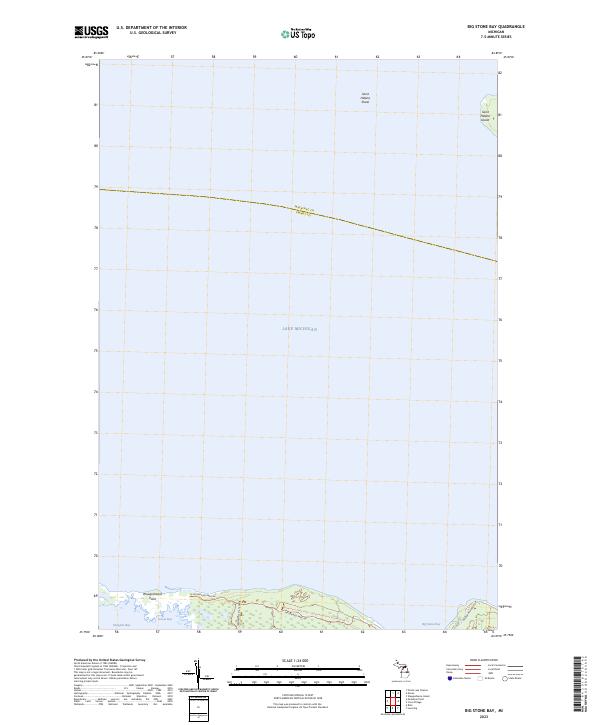 2023 Big Stone Bay2023 Print · USGSThe Straits of Mackinac shoreline comes into sharp focus in this recent survey of the Emmet County coast. Researchers can trace the protected reaches of Wilderness State Park, from Waugoshance Point to the remote Saint Helena Island.
 - 2023 Map of Gould City, 2023 Print
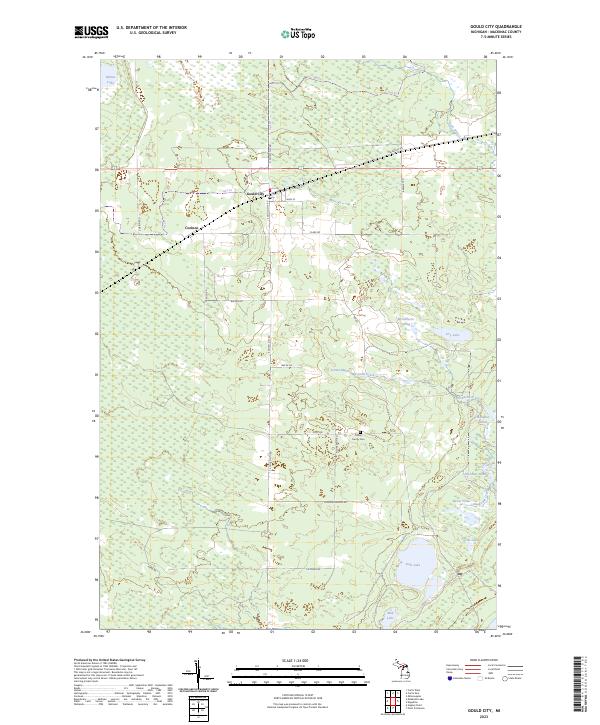 2023 Gould City2023 Print · USGSMackinac County's Upper Peninsula landscape comes into focus here, showing the communities of Gould City and Corinne alongside the Hiawatha Trl. Researchers can find the Polley Family Cem and trace the drainage of McEachern Creek into Duel Lake.
 - 2023 Map of Pickford, 2023 Print
 2023 Pickford2023 Print · USGSThe eastern Upper Peninsula landscape around the Chippewa and Mackinac border is shown here in the early 2020s. Researchers can trace family history through several burial sites including Bethel Cem, Gray Cem, and Old Kelden Cem near Stirlingville.
 - 2023 Map of Stalwart, 2023 Print
 2023 Stalwart2023 Print · USGSChippewa County's eastern Upper Peninsula landscape is shown here in the 2020s, where the community of Stalwart meets the vast Gogomain Swamp. Local researchers can locate Stalwart Cem and trace recreational routes like the Birch Hill Motorcycle Trl near Hungry Hill.
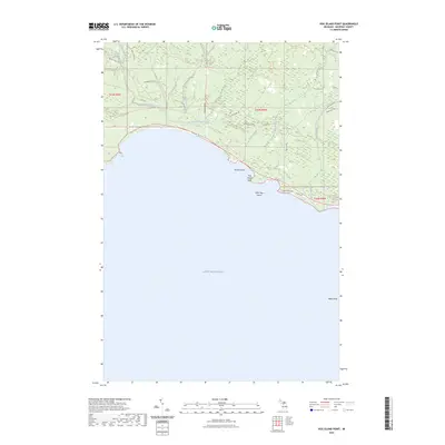
 - 2023 Map of Point Patterson, 2023 Print
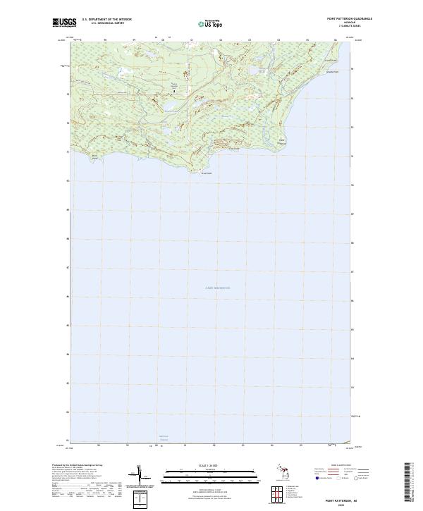 2023 Point Patterson2023 Print · USGSThe Mackinac County coast comes into sharp focus in this recent survey, detailing the shoreline as it reaches toward the Mackinac Channel. Researchers can locate the Newton Township Cem or trace the winding paths of Hudson Creek and the Cataract River.
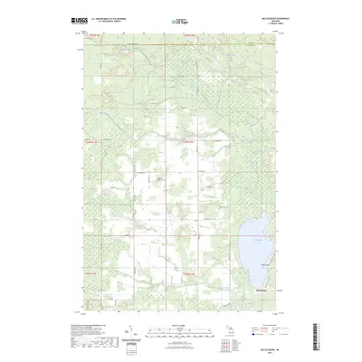
 - 2023 Map of Gilchrist, 2023 Print
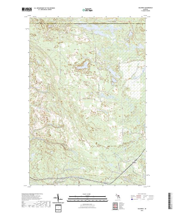 2023 Gilchrist2023 Print · USGSUpper Peninsula timberlands and wetlands are documented in this recent survey of the Mackinac and Luce county line. Researchers can trace the layout of the Gilchrist settlement or locate landmarks like the Hiawatha Sportsmans Club Airport and Cranberry Lake Bog.
 - 2023 Map of Engadine, 2023 Print
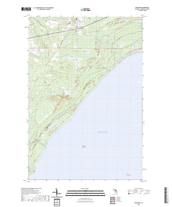 2023 Engadine2023 Print · USGSCoastal Mackinac County in the early 2020s shows a landscape of quiet lakeside settlements and vast wetland networks. Genealogists and hikers can trace the streets of Engadine, locate the Engadine Cem, or follow the Marsh-Lake Pathway Trl down to the shores of Lake Michigan.
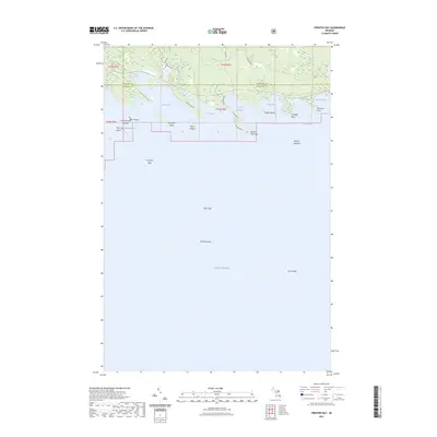
 - 2023 Map of Brevort, 2023 Print
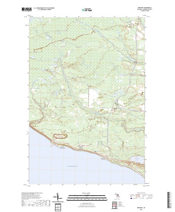 2023 Brevort2023 Print · USGSMackinac County's shoreline and wilderness are detailed in this recent survey of the Brevort area. Genealogists and hikers can trace the coastal Manitou Payment Highbanks, find the Western Cem, and follow the Little Brevoort River into the interior.
 - 2023 Map of Naubinway, 2023 Print
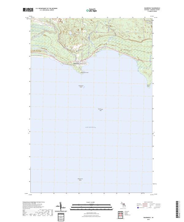 2023 Naubinway2023 Print · USGSThe northern shores of Lake Michigan are documented here in the early twenty-first century, centered on the historic fishing village of Naubinway. Researchers can trace local landmarks like Garfield Township Cem, Millecoquins Point, and Naubinway Island.
 - 2023 Map of Pickford SE, 2023 Print
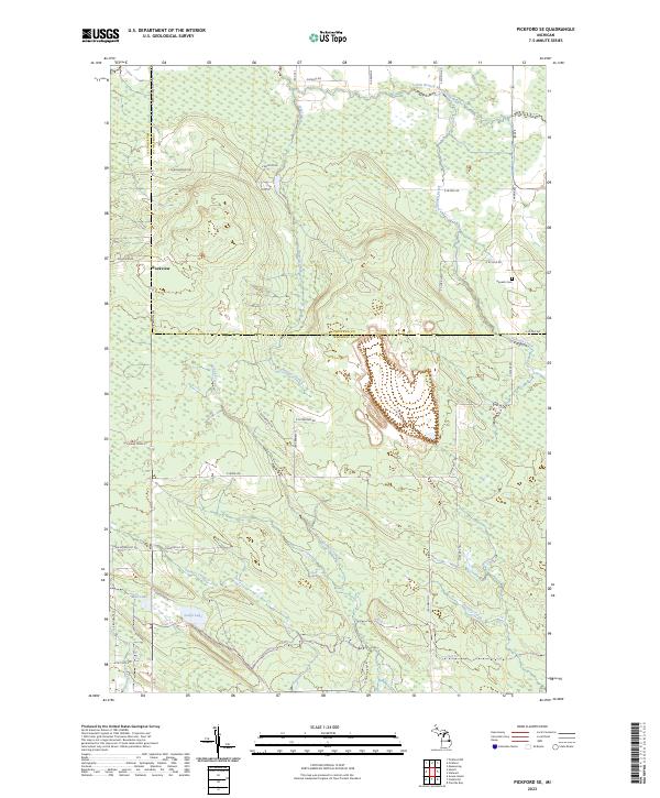 2023 Pickford SE2023 Print · USGSThe border of Chippewa and Mackinac counties comes alive in this contemporary survey of the Michigan interior. Researchers can locate the Hannah Cem and the settlement of Rockview, or trace the winding paths of McKay Creek and Flowers Creek.
 - 2023 Map of Garnet, 2023 Print
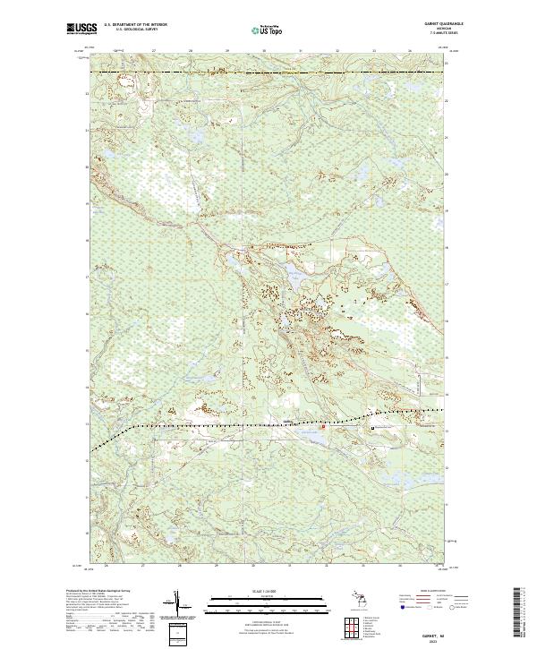 2023 Garnet2023 Print · USGSMackinac County in the early twenty-first century reveals a landscape shaped by water and timber trails. Genealogists and local historians can trace the area around Garnet and Maplewood Cem, or explore the backcountry roads near Big Dollar Lake.
 - 2023 Map of Epoufette, 2023 Print
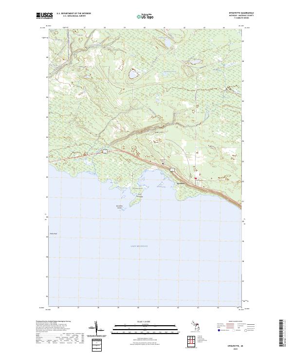 2023 Epoufette2023 Print · USGSAlong the northern shores of Lake Michigan, this recent survey documents the coastal village of Epoufette and its surrounding wetlands. Genealogists and local historians can trace family sites near Epoufette Cem or locate landmarks like Point Epoufette and West Harbor.
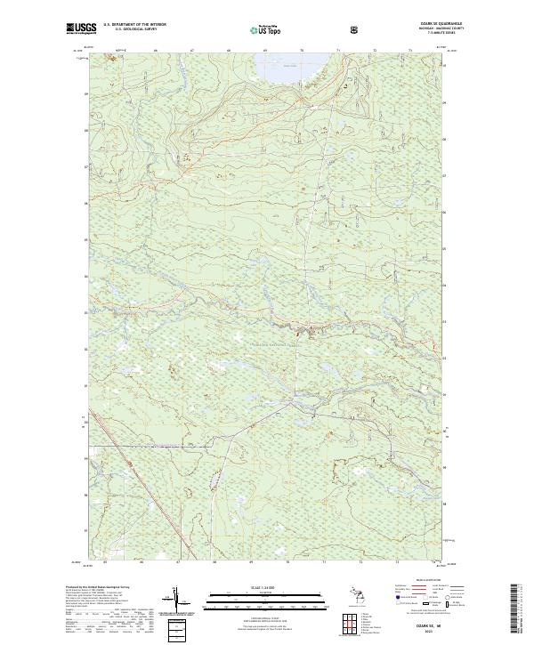
 - 2023 Map of Ozark, 2023 Print
 2023 Ozark2023 Print · USGSThe Upper Peninsula’s wooded interior comes into focus in this contemporary survey of the Hiawatha National Forest. Researchers can locate the Brethren Cem and trace recreational routes like the North Country National Scenic Trl near the settlement of Ozark.
 - 2023 Map of Fibre, 2023 Print
 2023 Fibre2023 Print · USGSThe eastern Upper Peninsula hinterlands are documented here in the early 2020s, showing the intersection of local timber roads and protected wilderness. Local historians can trace the remote settlements of Fibre and Dryburg near the banks of Bear Creek and the Pine River.
 - 2023 Map of Ozark NE, 2023 Print
 2023 Ozark NE2023 Print · USGSUpper Peninsula forest lands and remote settlements are mapped in detail during this recent survey. Local researchers can trace the paths of the North Country National Scenic Trl and locate the small communities of Dick and Cordell.
 - 2023 Map of Ozark SE, 2023 Print
 2023 Ozark SE2023 Print · USGSThe northern woods of Mackinac County are shown here in recent years, centered on the protected waters of the Hiawatha National Forest. Outdoor historians can trace the North Country National Scenic Trl and the Carp River Canoe Route through the Mackinac Wilderness.
 - 2023 Map of McRae Bay, 2023 Print
 2023 McRae Bay2023 Print · USGSBois Blanc Island is captured in its contemporary layout along the northern coast of Mackinac County. Researchers can trace local landmarks like the McRae Cem and Lighthouse Point, or explore the island's access via the Bois Blanc Island Airport.
 - 2023 Map of Evergreen Shores, 2023 Print
 2023 Evergreen Shores2023 Print · USGSCoastal Mackinac County is mapped here in the early 2020s, showing the intersection of the Upper Peninsula mainland and the surrounding islands. Genealogists and local historians can locate Saint Ignace Township Cem or trace landmarks like Castle Rock and the Saint Martin Islands.
 - 2023 Map of Milakokia Lake, 2023 Print
 2023 Milakokia Lake2023 Print · USGSUpper Peninsula timber and lake country comes into focus in this contemporary survey of Mackinac County. Researchers can trace rural settlements at Huntspur and Inland or locate specific points along the water like Beaver Bay and Rubys Bay.
 - 2023 Map of Charles, 2023 Print
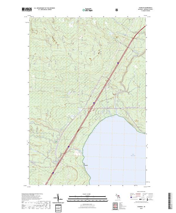 2023 Charles2023 Print · USGSCoastal Mackinac County meets the waters of Lake Huron in this recent survey of the Upper Peninsula's forested shoreline. Outdoor researchers and local historians can trace the settlement at Charles and recreation routes like the Fisherman's Hike Trl and Red Creek-cedarville Snomo Trl.
 - 2023 Map of Prentiss Bay, 2023 Print
 2023 Prentiss Bay2023 Print · USGSThe Mackinac coast and Prentiss Bay are captured here in the early twenty-first century as part of the Hiawatha NF. Maritime researchers and local historians can trace the intricate shoreline from Whitefish Point to the submerged reaches of Martin Reef and Surveyors Reef.
 - 2023 Map of Millecoquins, 2023 Print
 2023 Millecoquins2023 Print · USGSMackinac County's wetlands and waterways are mapped here in the modern era, centered on the expansive Millecoquins Lake. Researchers can locate the Bethlehem Lutheran Cem and trace the paths of the Upper Millecoquins River and Hiawatha Trail.
 - 2023 Map of Hog Island Point, 2023 Print
 2023 Hog Island Point2023 Print · USGSThe Lake Michigan shoreline of the Upper Peninsula comes into focus in the early 2020s, showing a landscape defined by coastal points and winding timber trails. Map enthusiasts can trace the paths of Old Stage Trl and Beach Rd past Hog Island Point.
 - 2023 Map of Round Island, 2023 Print
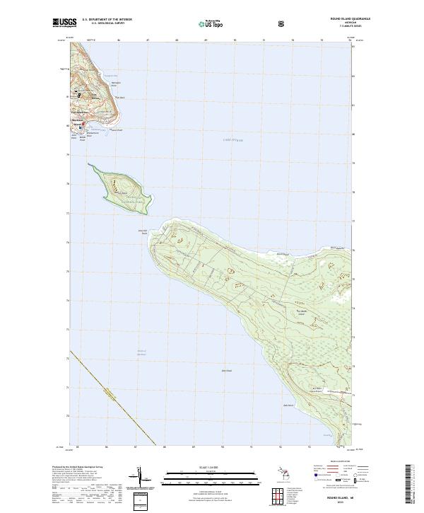 2023 Round Island2023 Print · USGSThe Straits of Mackinac islands are captured here in the contemporary era, showing the intersection of military history and modern wilderness. Researchers can trace the layout of Fort Mackinac, locate the Mackinac Island Cem, and explore the shoreline points of Bois Blanc Island.
Showing maps 1-25 of 46
Top cities of Mackinac County
Frequently asked questions
- What are the different types of historical maps available for Mackinac County?
- What is the oldest map of Mackinac County?
- Where can I purchase historical maps of Mackinac County for my home or office?
- Where can I download high-res historical maps of Mackinac County?
- Are there historical topographic maps available for Mackinac County?
- Is there historical aerial imagery available for Mackinac County?
- Where are historical maps of Mackinac County sourced from?