2020s Maps of Clark Township, Michigan
Explore 7 historic maps of Clark Township from the 2020s. These maps offer a rare glimpse into what life looked like during the 2020s — showing old roads, neighborhoods, homes, and landmarks that have changed or disappeared over time.
Whether you're researching your family's past, planning a metal detecting trip, or studying how Clark Township's landscape evolved across the 2020s, these high-resolution maps are a powerful tool for exploring the history of this region.
- Focus on a specific era: All maps on this page are from the 2020s, giving you a focused view of this time period.
- See what’s changed: Compare century-old streets, trails, and buildings to today's modern landscape using overlays and satellite layers.
- Research with precision: Use these maps for genealogy, historical research, land use analysis, or educational projects.
- View, download, or print: Maps are fully viewable online in high resolution, and can be downloaded or printed for your own records.
Start exploring Clark Township's history through authentic maps from the 2020s. This is your window into the past.
Clark Township, MI maps
(7)- 2023 Map of Hessel, 2023 Print
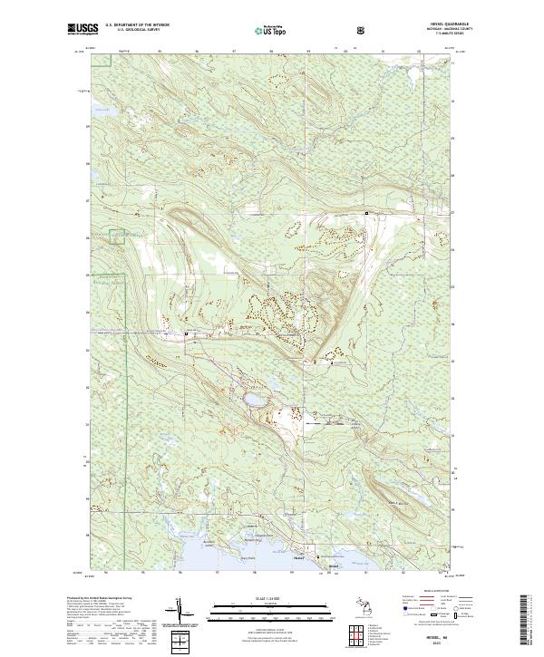 2023 Hessel2023 Print · USGSThe northern Lake Huron shoreline near Hessel comes into focus in the early 2020s, showing a landscape of coastal bays and deep forests. Trace local family history at Father Marquette's Cem or explore the terrain around Peek-A-Boo Hill and Hessel Bay.
 - 2023 Map of Stalwart, 2023 Print
 2023 Stalwart2023 Print · USGSChippewa County's eastern Upper Peninsula landscape is shown here in the 2020s, where the community of Stalwart meets the vast Gogomain Swamp. Local researchers can locate Stalwart Cem and trace recreational routes like the Birch Hill Motorcycle Trl near Hungry Hill.
 - 2023 Map of Pickford SE, 2023 Print
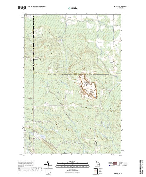 2023 Pickford SE2023 Print · USGSThe border of Chippewa and Mackinac counties comes alive in this contemporary survey of the Michigan interior. Researchers can locate the Hannah Cem and the settlement of Rockview, or trace the winding paths of McKay Creek and Flowers Creek.
 - 2023 Map of Prentiss Bay, 2023 Print
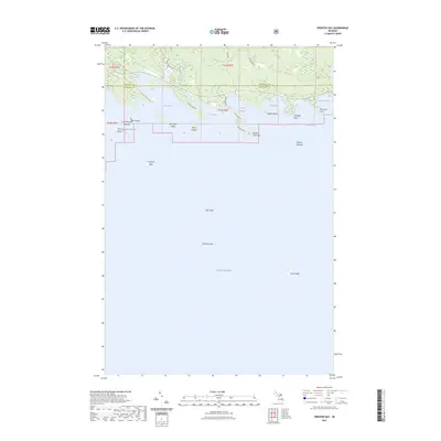 2023 Prentiss Bay2023 Print · USGSThe Mackinac coast and Prentiss Bay are captured here in the early twenty-first century as part of the Hiawatha NF. Maritime researchers and local historians can trace the intricate shoreline from Whitefish Point to the submerged reaches of Martin Reef and Surveyors Reef.
 - 2023 Map of Cedarville, 2023 Print
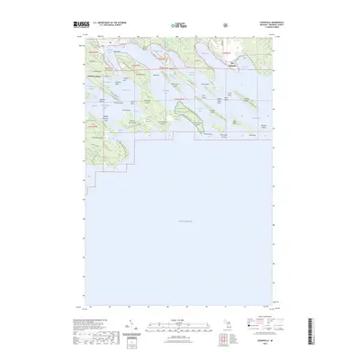 2023 Cedarville2023 Print · USGSThe northern coast of Lake Huron and the Les Cheneaux archipelago are shown here in recent detail. Researchers can trace the layout of island communities and waterfront access points like Patrick Landing, Port Dolomite, and Hill Island.
 - 2023 Map of Goose Island, 2023 Print
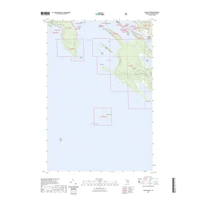 2023 Goose Island2023 Print · USGSCoastal Mackinac County is mapped here at the edge of Lake Huron, showing the intricate waterways of the Les Cheneaux Islands. Genealogists and local historians can trace the shoreline settlements of Hessel and Edgewood or locate the old Cem near the mainland waterfront.
 - 2023 Map of Albany Island, 2023 Print
 2023 Albany Island2023 Print · USGSThe northern reaches of the Upper Peninsula meet the Great Lakes in the early 2020s, showing a landscape defined by forest and water. Map collectors and hikers can trace the shoreline from Albany Island to Saddlebag Island or locate interior waters like Big Trout Lake and Cranberry Lake.
End of results
Showing maps 1-7 of 7
Top cities near Clark Township
Top neighborhoods of Clark Township
- Port Dolomite historical maps
- Patrick Landing historical maps
- Hessel historical maps
- Cedarville historical maps
Frequently asked questions
- What are the different types of historical maps available for Clark Township?
- What is the oldest map of Clark Township?
- Where can I purchase historical maps of Clark Township for my home or office?
- Where can I download high-res historical maps of Clark Township?
- Are there historical topographic maps available for Clark Township?
- Is there historical aerial imagery available for Clark Township?
- Where are historical maps of Clark Township sourced from?