Old Maps of British Landing, Mackinac Island
Explore 10 old maps of British Landing, spanning from 1931 to today. These high-resolution historic maps reveal how streets, neighborhoods, landmarks, and natural features evolved over time — perfect for genealogy, metal detecting, research, and local history exploration.
What you can do with these maps:
- See how British Landing changed over time: Compare historical maps to modern-day views to trace roads, homesites, rail lines & more.
- View detailed metadata: Each map includes creators, publishers, year, scale, and archive source.
- Overlay maps with satellite & LiDAR: Visualize the past alongside modern tools to explore terrain & human change.
- Trusted historical sources: Maps sourced from the USGS, Library of Congress, and other archives.
- Access maps your way: View online, download high-res files, or order prints for personal or research use.
Start exploring old maps of British Landing to uncover forgotten places, hidden landmarks, and the deep history beneath your feet.
British Landing, Mackinac Island maps
(10)- 1931 Map of St Ignace NW
 1931 St Ignace NW1931 Print · USGSMackinac County's shoreline and offshore islands are captured here in the early 1930s, showing the region's rural character before modern expansion. Genealogists and local historians can locate early landmarks like Fort Algonquin, Rabbits Back Sch, and the docks at British Landing.
 - 1955 Map of Cheboygan, 1964 Print
 1955 Cheboygan1964 Print · USGSNorthern Michigan in the mid-fifties is a landscape of dense timber and deep water, showing the region just as the road network began to modernize. Trace family roots in lakeside towns like St Ignace and Petoskey, or follow the historic tracks of the Pennsylvania RR and New York Central RR.5 unique versions available
 - 1958 Map of Cheboygan
 1958 Cheboygan1958 Print · USGSThe tip of Michigan's Lower Peninsula and the surrounding Great Lakes islands are shown here in the late fifties, during the peak of the rail-and-ferry era. Trace the paths of the Pennsylvania RR and explore lakeside settlements like St James, Petoskey, and Indian River.2 unique versions available
 - 1964 Map of Evergreen Shores, 1966 Print
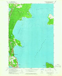 1964 Evergreen Shores1966 Print · USGSThe Straits of Mackinac area in the mid-1960s shows a landscape of north-woods forests and expanding coastal settlements. Researchers can trace family sites near Evergreen Shores, locate historic British Landing on Mackinac Island, and identify landmarks like Castle Rock.2 unique versions available
 - 1984 Map of Cheboygan, 1985 Print
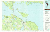 1984 Cheboygan1985 Print · USGSThe Straits of Mackinac and the northern tip of Michigan's Lower Peninsula are shown here in the mid-1980s. Local researchers can trace family landmarks and rural crossroads from St Ignace to Cheboygan, including Riggsville and Levering.
 - 2011 Map of Evergreen Shores, 2011 Print
 2011 Evergreen Shores2011 Print · USGSThe Mackinac Straits region comes into focus in the early 2010s, showing the coastal community of Evergreen Shores and the western edge of Mackinac Island. Researchers can locate family sites at Saint Ignace Cemetery or trace the geography of landmarks like Castle Rock and British Landing.
 - 2014 Map of Evergreen Shores, 2014 Print
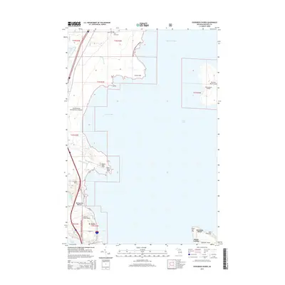 2014 Evergreen Shores2014 Print · USGSCoastal life in the Upper Peninsula meets the northern tip of Mackinac Island in this recent survey. Genealogists and local historians can locate the Saint Ignace Cem and trace the shorelines of Horseshoe Bay and the Saint Martin Islands.
 - 2017 Map of Evergreen Shores, 2017 Print
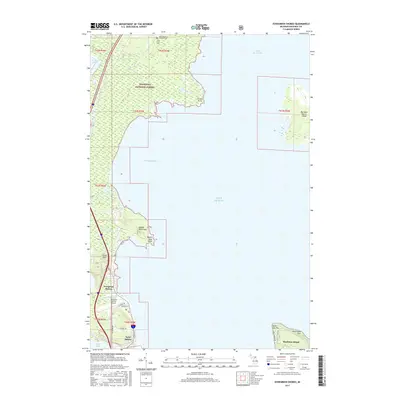 2017 Evergreen Shores2017 Print · USGSThe Straits of Mackinac coastline comes into focus in this recent survey of the gateway to the Upper Peninsula. Genealogists and local historians can pinpoint Saint Ignace Township Cem, the Mackinac County Airport, and landmarks like Castle Rock.
 - 2019 Map of Evergreen Shores, 2019 Print
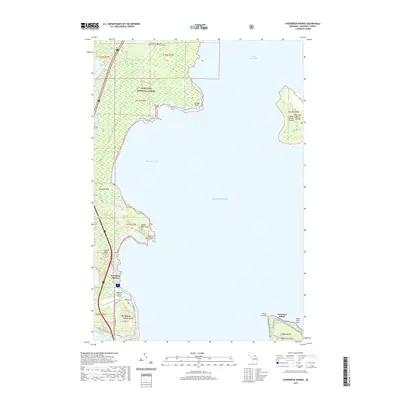 2019 Evergreen Shores2019 Print · USGSThe Straits of Mackinac region is captured here in the late 2010s, where the Upper Peninsula meets the Great Lakes. Local historians can trace the North Country National Scenic Trail or locate the Saint Ignace Township Cemetery and landmark Castle Rock.
 - 2023 Map of Evergreen Shores, 2023 Print
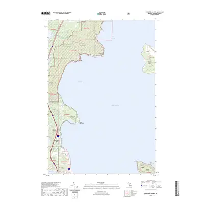 2023 Evergreen Shores2023 Print · USGSCoastal Mackinac County is mapped here in the early 2020s, showing the intersection of the Upper Peninsula mainland and the surrounding islands. Genealogists and local historians can locate Saint Ignace Township Cem or trace landmarks like Castle Rock and the Saint Martin Islands.
End of results
Showing maps 1-10 of 10
Top cities near British Landing
- Cheboygan historical maps
- Saint Ignace historical maps
- Moran historical maps
- Carp Lake historical maps
- Mackinaw City historical maps
- Mackinac Island historical maps
Frequently asked questions
- What are the different types of historical maps available for British Landing?
- What is the oldest map of British Landing?
- Where can I purchase historical maps of British Landing for my home or office?
- Where can I download high-res historical maps of British Landing?
- Are there historical topographic maps available for British Landing?
- Is there historical aerial imagery available for British Landing?
- Where are historical maps of British Landing sourced from?