Old Maps of Champion, Michigan for Metal Detecting
Plan your next treasure hunt with 12 historic maps of Champion. Find old homesites, ghost towns, trails, and gathering spots that may be lost to time — perfect for identifying promising metal detecting locations.
- Locate forgotten sites: Uncover places like long-lost settlements, abandoned rail lines, or gathering spots.
- Plan better hunts: Use map overlays combined with LiDAR or satellite views to narrow in on historically rich areas.
- Made for detectorists: Thousands of hobbyists use these maps to discover relics, coins, and hidden history.
Use these historic maps to boost your research and find new opportunities beneath the surface of Champion.
Champion, MI maps
(12)- 1955 Map of Champion, 1956 Print
 1955 Champion1956 Print · USGSThe northern Michigan landscape near Marquette is captured in the mid-fifties, showing a region defined by dense forests and the iron-hauling railroads. Trace the routes of the Chicago and North Western and locate local sites like Sacred Heart Cem or the settlement of Beacon.3 unique versions available
 - 1955 Map of Champion, 1957 Print
 1955 Champion1957 Print · USGSUpper Peninsula mining and timber culture are in full view in the mid-fifties, centered on the railroad corridor between Baraga and Marquette. Researchers can trace the rail-served settlements of Champion and Beacon or locate industrial sites like the Silver Lead Mine and Dexter Mine.4 unique versions available
 - 1958 Map of Marquette, 1968 Print
 1958 Marquette1968 Print · USGSThe Upper Peninsula’s central corridor is captured here in the mid-twentieth century as mining and timber industries thrived alongside new military installations. Genealogists and historians can trace the rail lines of the Soo Line Railroad through settlements like Gwinn, Turin, and Chatham.2 unique versions available
 - 1960 Map of Marquette
 1960 Marquette1960 Print · USGSUpper Peninsula mining and maritime commerce reach their peak in the late fifties across the Lake Superior shoreline. Genealogists and historians can locate remote settlements like Big Bay and Dukes, while tracing the Cyr Mine and the active rail lines of the Lake Superior and Ishpeming railroad.
 - 1961 Map of Marquette
 1961 Marquette1961 Print · USGSUpper Peninsula life in the early sixties centered on the iron docks and timber stands of the Lake Superior shore. Genealogists and historians can trace rail-to-port connections via the Lake Superior and Ishpeming Railroad and locate active sites like Republic Mine or the K.I. Sawyer Air Force Base.
 - 1968 Map of Marquette, 1977 Print
 1968 Marquette1977 Print · USGSThe Upper Peninsula iron range and Lake Superior coastline are captured here in the late sixties. Genealogists and historians can trace the rail-to-port infrastructure and the Cold War presence of K I Sawyer Air Force Base alongside towns like Ishpeming and Munising.
 - 1985 Map of Marquette
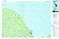 1985 Marquette1985 Print · USGSThe iron mining country of Michigan's Upper Peninsula is shown here during the mid-1980s as industrial transport networks connected the interior to the coast. Researchers can trace historic rail lines like the Soo Line and Ls&I or locate local landmarks like Holy Cross Cem and Northern Michigan University.3 unique versions available
 - 2011 Map of Champion, 2011 Print
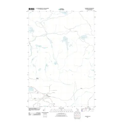 2011 Champion2011 Print · USGSMarquette County's iron-rich landscape is captured here in the early twenty-first century as these Upper Peninsula communities continue their long history. Genealogists and local historians can locate the Sacred Heart Cemetery, the Champion Post Office, and settlements like Beacon and Clowry.
 - 2014 Map of Champion, 2014 Print
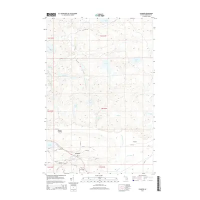 2014 Champion2014 Print · USGSMarquette County's iron-mining heritage and water-rich interior are on full display in the early twenty-first century. Genealogists and local historians can trace family locations near Beacon, Champion, and the Sacred Heart Cem, or locate points like Martins Landing.
 - 2017 Map of Champion, 2017 Print
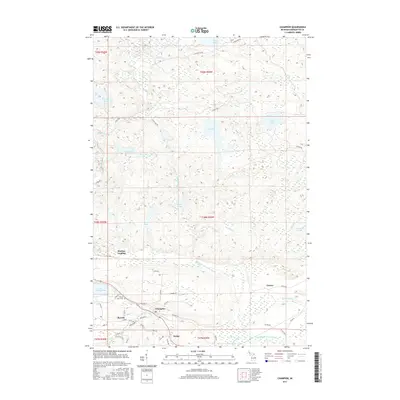 2017 Champion2017 Print · USGSMarquette County's central interior is captured here as it appeared in the late 2010s, centered on the historic mining communities of Champion and Beacon. Local researchers can trace family landmarks and town layouts, from the Sacred Heart Cem to the waters of Lake Michigamme and Log Lake.
 - 2019 Map of Champion, 2019 Print
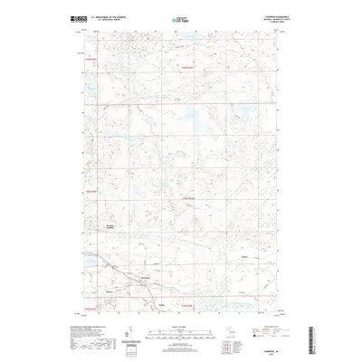 2019 Champion2019 Print · USGSThe Iron Range of Marquette County comes into focus here during the late twenty-teens, centering on the historic mining towns of Champion and Beacon. Genealogists and researchers can trace local landmarks like Sacred Heart Cem and the landings along the shores of Lake Michigamme.
 - 2023 Map of Champion, 2023 Print
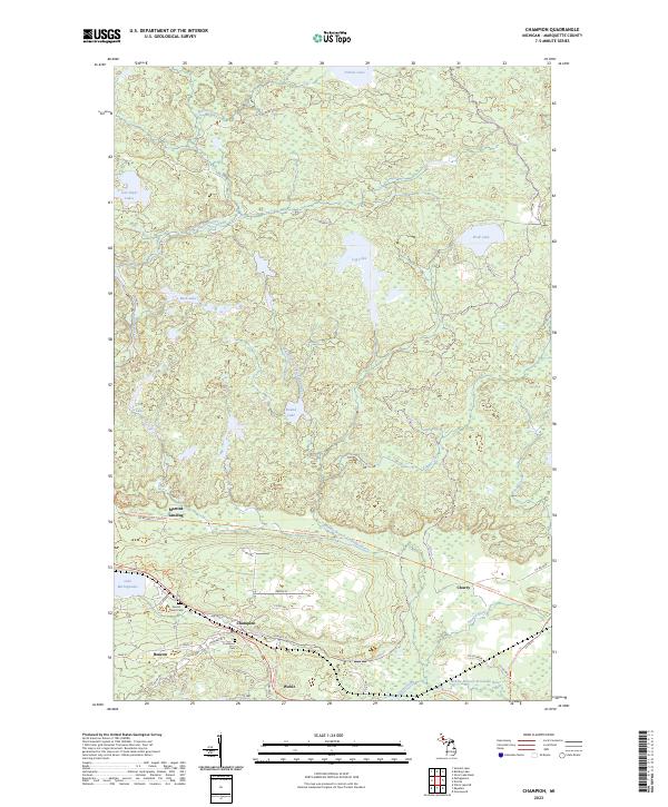 2023 Champion2023 Print · USGSThe iron mining country of Marquette County comes into focus in the early twenty-first century, showing the established communities of Champion and Beacon. Researchers can trace local heritage sites like Sacred Heart Cem and the route of the Iron Ore Heritage Trl near Lake Michigamme.
End of results
Showing maps 1-12 of 12
Top cities near Champion
Frequently asked questions
- What are the different types of historical maps available for Champion?
- What is the oldest map of Champion?
- Where can I purchase historical maps of Champion for my home or office?
- Where can I download high-res historical maps of Champion?
- Are there historical topographic maps available for Champion?
- Is there historical aerial imagery available for Champion?
- Where are historical maps of Champion sourced from?