Old Maps of Selma, Michigan for Genealogy
Trace your family roots with 13 historic maps of Selma. These high-res maps reveal old neighborhoods, homesites, landmarks, and streets — helping you uncover where your ancestors lived and how the area evolved over time.
- Explore historic neighborhoods: Identify where your relatives may have lived in the 1800s or 1900s.
- Compare maps over time: Trace the changes in streets, buildings, and landmarks for multi-generational research.
- Perfect for genealogy & ancestry research: Used by family historians and researchers to map out lineage and migration.
These maps are an incredible resource for exploring your personal connection to Selma's past.
Selma, MI maps
(13)- 1932 Map of Skandia SW
 1932 Skandia SW1932 Print · USGSMarquette County's timberlands and rail stops are captured here in the early 1930s. Trace old logging-era sites like Wendt and Bartles Camp and rural schools like Carlshend Sch along the Lake Superior and Ishpeming railroad.
 - 1958 Map of Skandia, 1959 Print
 1958 Skandia1959 Print · USGSThe Lake Superior coast and Michigan's Upper Peninsula timberlands are captured here in the late fifties. Genealogists and local historians can trace family roots at Skandia Cem and Deerton Cem or locate the old Yalmer Station along the historic rail lines.2 unique versions available
 - 1958 Map of Marquette, 1968 Print
 1958 Marquette1968 Print · USGSThe Upper Peninsula’s central corridor is captured here in the mid-twentieth century as mining and timber industries thrived alongside new military installations. Genealogists and historians can trace the rail lines of the Soo Line Railroad through settlements like Gwinn, Turin, and Chatham.2 unique versions available
 - 1960 Map of Marquette
 1960 Marquette1960 Print · USGSUpper Peninsula mining and maritime commerce reach their peak in the late fifties across the Lake Superior shoreline. Genealogists and historians can locate remote settlements like Big Bay and Dukes, while tracing the Cyr Mine and the active rail lines of the Lake Superior and Ishpeming railroad.
 - 1961 Map of Marquette
 1961 Marquette1961 Print · USGSUpper Peninsula life in the early sixties centered on the iron docks and timber stands of the Lake Superior shore. Genealogists and historians can trace rail-to-port connections via the Lake Superior and Ishpeming Railroad and locate active sites like Republic Mine or the K.I. Sawyer Air Force Base.
 - 1968 Map of Marquette, 1977 Print
 1968 Marquette1977 Print · USGSThe Upper Peninsula iron range and Lake Superior coastline are captured here in the late sixties. Genealogists and historians can trace the rail-to-port infrastructure and the Cold War presence of K I Sawyer Air Force Base alongside towns like Ishpeming and Munising.
 - 1983 Map of Gwinn
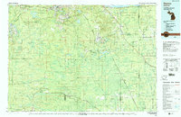 1983 Gwinn1983 Print · USGSThe heart of Michigan's Marquette Iron Range is captured here during the 1980s, when mining and military operations defined the local landscape. Genealogists and industrial historians can trace the tracks of the Chicago and North Western to the National Mine or the airman's life at K I Sawyer Air Force Base.2 unique versions available
 - 1985 Map of Carlshend
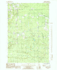 1985 Carlshend1985 Print · USGSMarquette County's interior as it appeared in the mid-eighties was a landscape of managed forests and quiet rural junctions. Genealogists and historians can trace the foundations of local life at Skandia Sch, Emmanuel Ch, and the settlements of Carlshend or Selma.
 - 2011 Map of Carlshend, 2011 Print
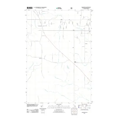 2011 Carlshend2011 Print · USGSMarquette County's rural Skandia Township is documented here in the early 2000s, showing a landscape of timber and homesteads. Researchers can locate the Emmanuel Lutheran Church Cemetery and trace the paths of Sucker Creek or the West Branch Whitefish River.
 - 2014 Map of Carlshend, 2014 Print
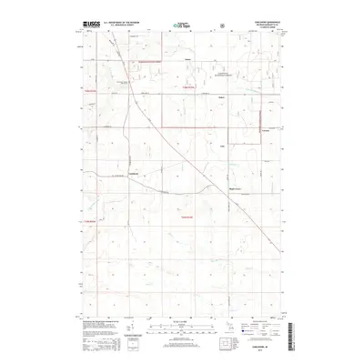 2014 Carlshend2014 Print · USGSMarquette County's rural interior comes to life in this survey of the Skandia area during the early twenty-first century. Genealogists can locate family names and sites near Carlshend, Emmanuel Lutheran Church Cem, and the quiet crossroads of Dukes.
 - 2017 Map of Carlshend, 2017 Print
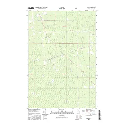 2017 Carlshend2017 Print · USGSMarquette County's quiet interior comes into focus during the early twenty-first century as a landscape of timber and rural homesteads. Genealogists and hikers can trace the grounds of the Emmanuel Lutheran Church Cem or follow the Little Lake-Chatham Snowmobile Trail past Carlshend and Dukes.
 - 2019 Map of Carlshend, 2019 Print
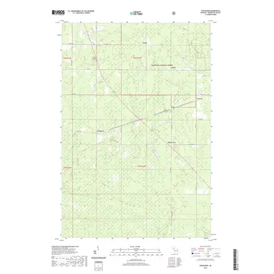 2019 Carlshend2019 Print · USGSMarquette County's wooded interior is documented in the late twenty-teens, showing the enduring rural layout of the Upper Peninsula. Researchers can trace local heritage at the Emmanuel Lutheran Church Cem or follow the small settlements of Carlshend, Dukes, and Lawson.
 - 2023 Map of Carlshend, 2023 Print
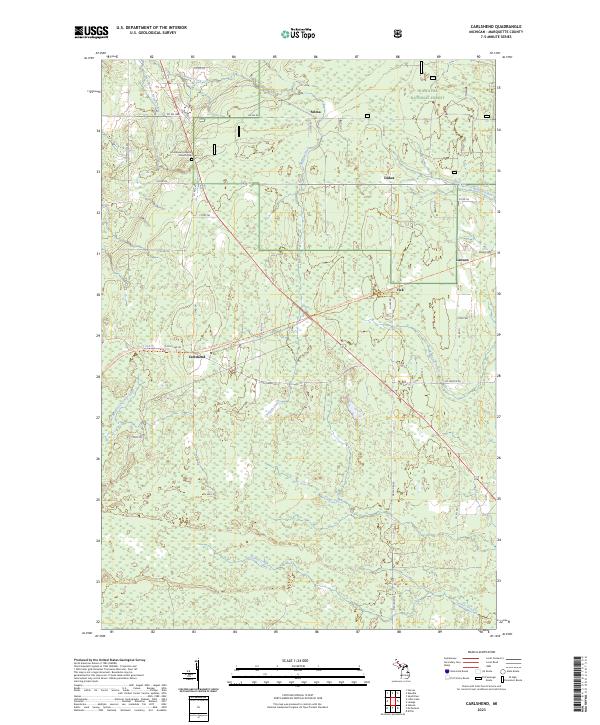 2023 Carlshend2023 Print · USGSMarquette County's rural interior comes into focus here in the early twenty-first century, showcasing a landscape of timberlands and headwaters. Researchers can locate the Emmanuel Lutheran Church Cem and trace old routes through Carlshend, Dukes, and Selma.
End of results
Showing maps 1-13 of 13
Top cities near Selma
Frequently asked questions
- What are the different types of historical maps available for Selma?
- What is the oldest map of Selma?
- Where can I purchase historical maps of Selma for my home or office?
- Where can I download high-res historical maps of Selma?
- Are there historical topographic maps available for Selma?
- Is there historical aerial imagery available for Selma?
- Where are historical maps of Selma sourced from?