2000s (21st Century) Maps of Deerfield Township, Michigan
Explore 20 historic maps of Deerfield Township from the 2000s (21st Century). These maps offer a rare glimpse into what life looked like during the 2000s — showing old roads, neighborhoods, homes, and landmarks that have changed or disappeared over time.
Whether you're researching your family's past, planning a metal detecting trip, or studying how Deerfield Township's landscape evolved across the 2000s, these high-resolution maps are a powerful tool for exploring the history of this region.
- Focus on a specific era: All maps on this page are from the 2000s, giving you a focused view of this time period.
- See what’s changed: Compare century-old streets, trails, and buildings to today's modern landscape using overlays and satellite layers.
- Research with precision: Use these maps for genealogy, historical research, land use analysis, or educational projects.
- View, download, or print: Maps are fully viewable online in high resolution, and can be downloaded or printed for your own records.
Start exploring Deerfield Township's history through authentic maps from the 2000s. This is your window into the past.
Deerfield Township, MI maps
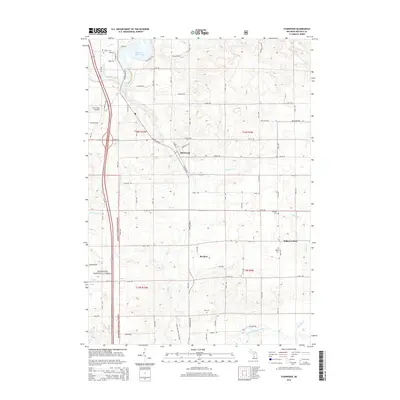
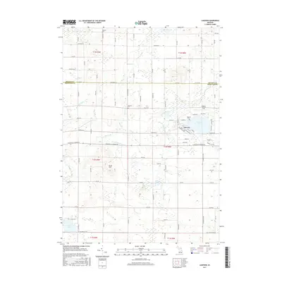
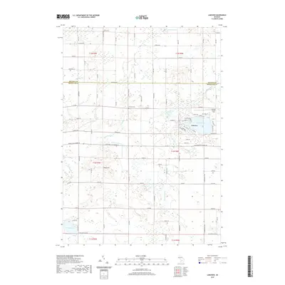
(20)- 2011 Map of Lakeview, 2011 Print
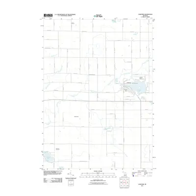 2011 Lakeview2011 Print · USGSCovers Deerfield Township, including Lakeview, Winfield Township, and other nearby areas
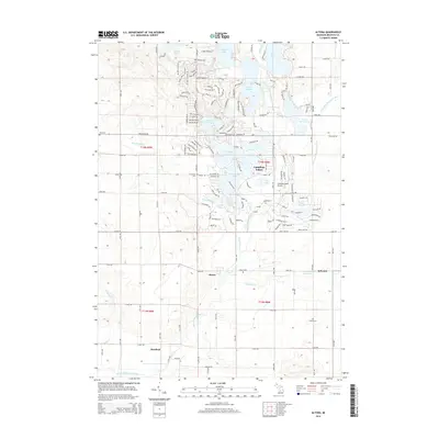
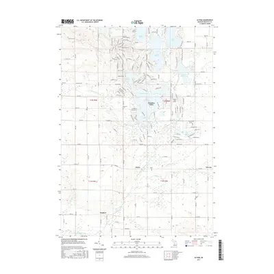
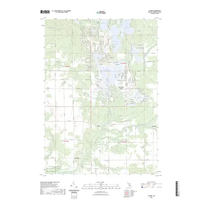
 - 2011 Map of Altona, 2011 Print
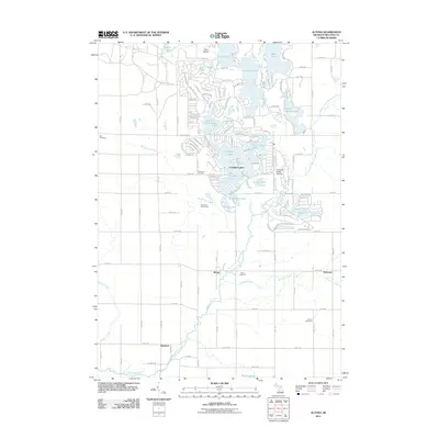 2011 Altona2011 Print · USGSCovers Deerfield Township, including Hinton Township, Altona, and other nearby areas
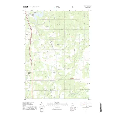
 - 2012 Map of Stanwood, 2012 Print
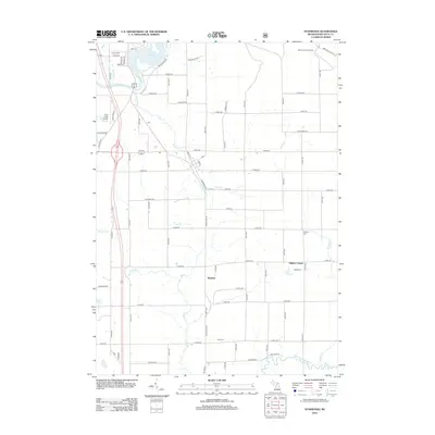 2012 Stanwood2012 Print · USGSCovers Deerfield Township, including Stanwood, Borland, and other nearby areas
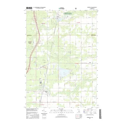
 - 2012 Map of Howard City, 2012 Print
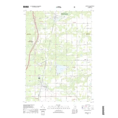
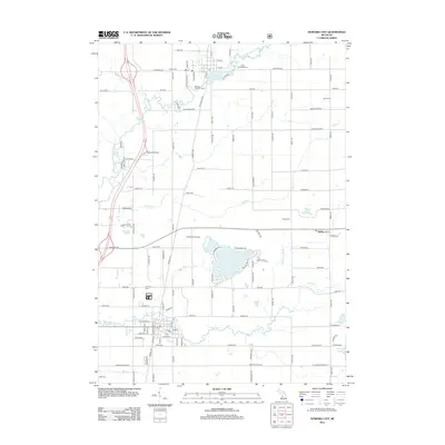 2012 Howard City2012 Print · USGSCovers Deerfield Township, including Howard City, Morley, and other nearby areas
 - 2014 Map of Howard City, 2014 Print
 2014 Howard City2014 Print · USGSCovers Deerfield Township, including Howard City, Morley, and other nearby areas
 - 2014 Map of Stanwood, 2014 Print
 2014 Stanwood2014 Print · USGSCovers Deerfield Township, including Stanwood, Borland, and other nearby areas
 - 2014 Map of Lakeview, 2014 Print
 2014 Lakeview2014 Print · USGSCovers Deerfield Township, including Lakeview, Winfield Township, and other nearby areas
 - 2014 Map of Altona, 2014 Print
 2014 Altona2014 Print · USGSCovers Deerfield Township, including Hinton Township, Altona, and other nearby areas
 - 2017 Map of Stanwood, 2017 Print
 2017 Stanwood2017 Print · USGSCovers Deerfield Township, including Stanwood, Borland, and other nearby areas
 - 2017 Map of Lakeview, 2017 Print
 2017 Lakeview2017 Print · USGSCovers Deerfield Township, including Lakeview, Winfield Township, and other nearby areas
 - 2017 Map of Howard City, 2017 Print
 2017 Howard City2017 Print · USGSCovers Deerfield Township, including Howard City, Morley, and other nearby areas
 - 2017 Map of Altona, 2017 Print
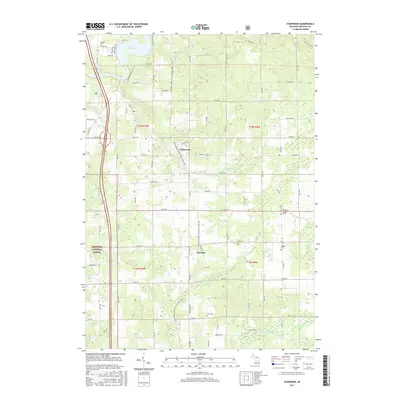
 2017 Altona2017 Print · USGSCovers Deerfield Township, including Hinton Township, Altona, and other nearby areas
 - 2019 Map of Altona, 2019 Print
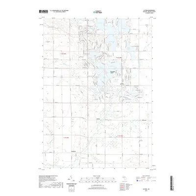 2019 Altona2019 Print · USGSCovers Deerfield Township, including Hinton Township, Altona, and other nearby areas
 - 2019 Map of Howard City, 2019 Print
 2019 Howard City2019 Print · USGSCovers Deerfield Township, including Howard City, Morley, and other nearby areas
 - 2019 Map of Lakeview, 2019 Print
 2019 Lakeview2019 Print · USGSCovers Deerfield Township, including Lakeview, Winfield Township, and other nearby areas
 - 2019 Map of Stanwood, 2019 Print
 2019 Stanwood2019 Print · USGSCovers Deerfield Township, including Stanwood, Borland, and other nearby areas
 - 2023 Map of Altona, 2023 Print
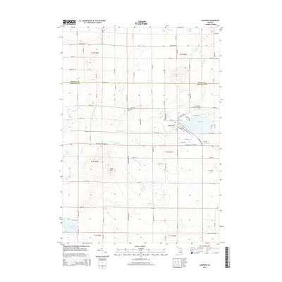
 2023 Altona2023 Print · USGSMecosta County at the start of the 2020s shows a landscape split between traditional rural hamlets and expansive modern water-front developments. Genealogists can locate several burial sites like Altona Cem and Indian Cem or trace the early paths of Altona and Sylvester.
 - 2023 Map of Howard City, 2023 Print
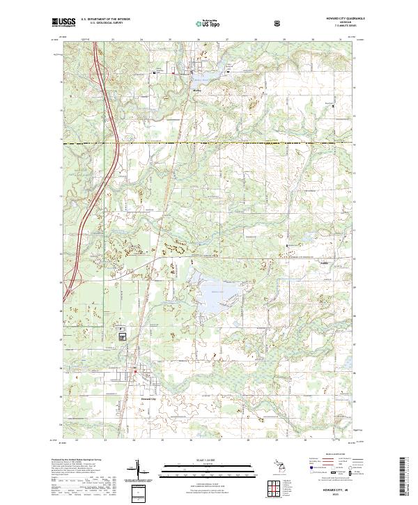 2023 Howard City2023 Print · USGSHoward City and Morley anchor this West Michigan landscape as it appeared in the 2020s, showing a region defined by river valleys and recreational trails. Genealogists can locate several local burial grounds like Saint Apollonia Cem and Reynolds Cem, while outdoor historians can trace the Fred Meijer White Pine Trail State Park.
 - 2023 Map of Stanwood, 2023 Print
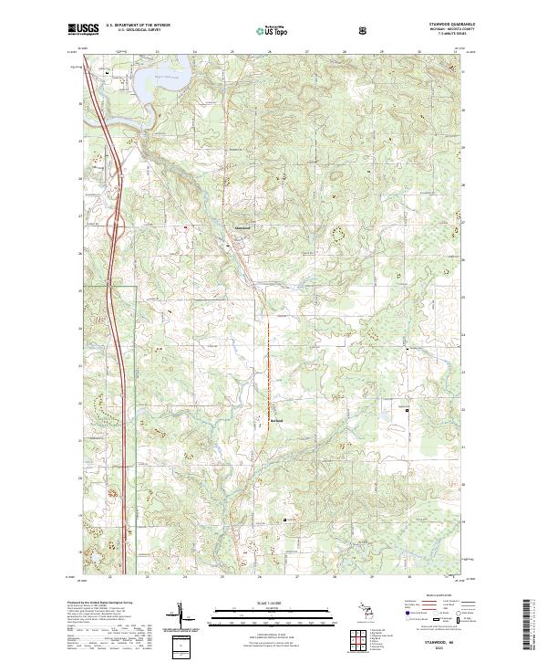 2023 Stanwood2023 Print · USGSStanwood and Borland appear in this contemporary view of Mecosta County during the early 2020s. Genealogists and local historians can trace rural property lines and burial sites such as Holt Cem and Quigley Cem near the Muskegon River.
 - 2023 Map of Lakeview, 2023 Print
 2023 Lakeview2023 Print · USGSLakeview and the surrounding farmsteads of Montcalm and Mecosta Counties are shown here at the start of the 2020s. Local researchers can trace family roots through the Lakeview Cem and Whitsell Cem, or explore the drainages of Tamarack Creek and Pickerel Lake.
End of results
Showing maps 1-20 of 20
Top cities near Deerfield Township
- Big Rapids historical maps
- Howard City historical maps
- Lakeview historical maps
- Sand Lake historical maps
- Morley historical maps
- Mecosta historical maps
See more
Top neighborhoods of Deerfield Township
Frequently asked questions
- What are the different types of historical maps available for Deerfield Township?
- What is the oldest map of Deerfield Township?
- Where can I purchase historical maps of Deerfield Township for my home or office?
- Where can I download high-res historical maps of Deerfield Township?
- Are there historical topographic maps available for Deerfield Township?
- Is there historical aerial imagery available for Deerfield Township?
- Where are historical maps of Deerfield Township sourced from?