Old Maps of Hinton Township, Michigan
Explore 37 old maps of Hinton Township, spanning from 1954 to today. These high-resolution historic maps reveal how streets, neighborhoods, landmarks, and natural features evolved over time — perfect for genealogy, metal detecting, research, and local history exploration.
What you can do with these maps:
- See how Hinton Township changed over time: Compare historical maps to modern-day views to trace roads, homesites, rail lines & more.
- View detailed metadata: Each map includes creators, publishers, year, scale, and archive source.
- Overlay maps with satellite & LiDAR: Visualize the past alongside modern tools to explore terrain & human change.
- Trusted historical sources: Maps sourced from the USGS, Library of Congress, and other archives.
- Access maps your way: View online, download high-res files, or order prints for personal or research use.
Start exploring old maps of Hinton Township to uncover forgotten places, hidden landmarks, and the deep history beneath your feet.
Hinton Township, MI maps
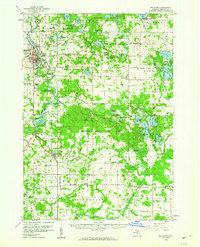
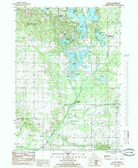
(37)- 1954 Map of Midland, 1967 Print
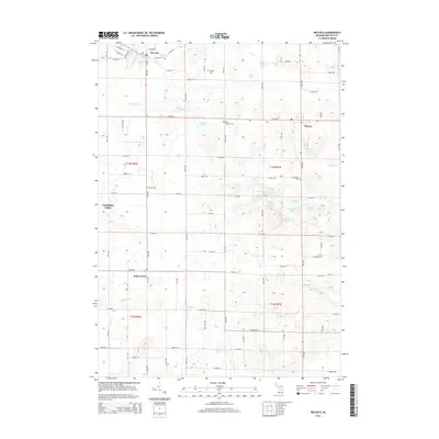
 1954 Midland1967 Print · USGSMid-Michigan at the peak of the post-war era shows a landscape balancing industrial growth in Midland with the deep timberlands of the Manistee National Forest. Researchers can trace the legacy of the timber and rail era along the Pennsylvania RR or find family roots in river towns like Chesaning and Big Rapids.4 unique versions available
 - 1958 Map of Midland
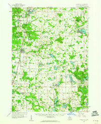
 1958 Midland1958 Print · USGSCentral Michigan in the late fifties is captured here during a period of transition for its university towns and industrial hubs. Genealogists and researchers can trace family lines through old rail-stop towns like Breckenridge and Chesaning or locate property near the Muskegon River and Prairie Farm.
 - 1958 Map of Big Rapids, 1960 Print
 1958 Big Rapids1960 Print · USGSBig Rapids and the Muskegon River valley are captured here in the late fifties, showing a landscape of dense forests and glacial lakes. Genealogists and local historians can locate early landmarks like Ferris Institute, Austin Ch, and family plots such as Holt Cem.3 unique versions available
 - 1959 Map of Midland
 1959 Midland1959 Print · USGSMid-century Michigan comes alive in this survey of the central Lower Peninsula, from the streets of Grand Rapids to the Houghton Lake timberlands. Genealogists and rail fans can trace the Ann Arbor RR and Chesapeake and Ohio RR through towns like Big Rapids and Mount Pleasant.
 - 1959 Map of Howard City, 1960 Print
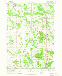
 1959 Howard City1960 Print · USGSMontcalm and Mecosta Counties thrived as a patchwork of farming and rail-side villages in the late fifties. You can trace early family sites at Little Denmark, the James Ch Settlement, and numerous rural schools like Huggard Sch or Gaffield Sch.2 unique versions available
 - 1964 Map of Six Lakes, 1965 Print
 1964 Six Lakes1965 Print · USGSThe mid-Michigan village of Six Lakes flourished as a lakeside rail hub in the mid-1960s. Genealogists and local historians can trace the foundations of Belvidere Ch, locate family plots at Evergreen Cem, and follow the Chesapeake and Ohio railroad corridor.2 unique versions available
 - 1964 Map of Mecosta, 1965 Print
 1964 Mecosta1965 Print · USGSMecosta County in the mid-1960s shows a transition between the old rail era and modern agricultural life. Genealogists can trace family names and local landmarks at Halls Corner, Wamboldt Cem, and the Remus Landing Field.2 unique versions available
 - 1966 Map of Midland
 1966 Midland1966 Print · USGSCentral Michigan in the mid-1960s shows a landscape of growing manufacturing hubs and active resource extraction. Genealogists and historians can trace the rail corridors of the Grand Trunk Western or locate family-named landmarks near Oil wells and the Muskegon River.
 - 1976 Map of Big Rapids SE, 1979 Print
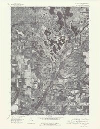 1976 Big Rapids SE1979 Print · USGSThe rural landscapes of Mecosta County are shown in fine detail in the mid-1970s through this aerial-imagery survey. Genealogists and historians can trace the early residential layouts around Lake Mecosta and the historic settlement patterns of Altona and Sylvester.
 - 1976 Map of Howard City NE, 1979 Print
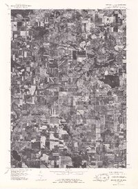 1976 Howard City NE1979 Print · USGSMontcalm County farmland and the village of Lakeview are captured during the mid-seventies in this detailed aerial orthophoto. Researchers can trace the development of the lakeshore around Tamarack Lake and follow the path of Tamarack Creek.
 - 1979 Map of Mecosta, 1982 Print
 1979 Mecosta1982 Print · USGSMecosta and Remus appear at a crossroads of rail and agriculture in the late seventies. Researchers can locate family landmarks like Morgan Cem, trace the Old Railroad Grade, or find the St Michael Sch in Wheatland.
 - 1984 Map of Big Rapids
 1984 Big Rapids1984 Print · USGSMid-Michigan in the mid-eighties shows a balance of deep-woods conservation and riverfront industry centered on the Muskegon River. Genealogists and historians can trace rail-town development along the Chesapeake and Ohio or locate family sites near Idlewild, Reed City, and Forest Hill Cem.
 - 1985 Map of Cedar Springs
 1985 Cedar Springs1985 Print · USGSThe northern reaches of the Grand Rapids metro area meet the forests of the Manistee during the mid-eighties. Genealogists and historians can trace the paths of the Grand Trunk Western RR through Sparta or locate rural landmarks near Cedar Springs and Rockford.
 - 1985 Map of Lakeview
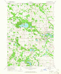
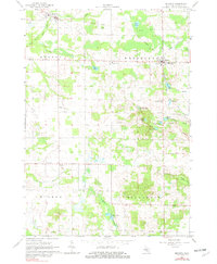
 1985 Lakeview1985 Print · USGSLakeview sits at the center of this mid-1980s Michigan landscape, where the town's life is shaped by the waters of Tamarack Lake. Researchers can trace old property lines and rural landmarks like Hinton Ch, Dickerson Cem, and the defunct Railroad Grade.
 - 1985 Map of Altona
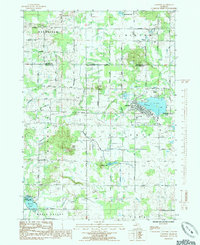
 1985 Altona1985 Print · USGSMecosta County’s glacial lake country is captured here during the mid-1980s, showing a landscape defined by water and recreation. Genealogists and local historians can trace family-named sites around Altona and Sylvester, or locate landmarks like the Cem and School Section Lake Park.
 - 1986 Map of Cedar Springs, 1989 Print
 1986 Cedar Springs1989 Print · USGSThe northern suburbs of Grand Rapids meet the Manistee National Forest in the mid-1980s. Genealogists and historians can trace the rail-side growth of Howard City, Rockford, and Greenville along the C & O RR and Flat River.
 - 1991 Map of Big Rapids
 1991 Big Rapids1991 Print · USGSWest Michigan’s river valleys and timberlands are charted here during the early nineties, centered on the Big Rapids corridor. Researchers can trace the path of the C & O RR through settlements like Reed City, Baldwin, and White Cloud.
 - 2011 Map of Six Lakes, 2011 Print
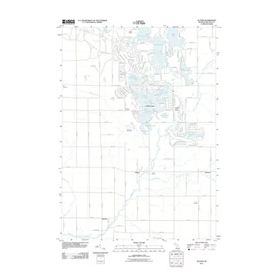
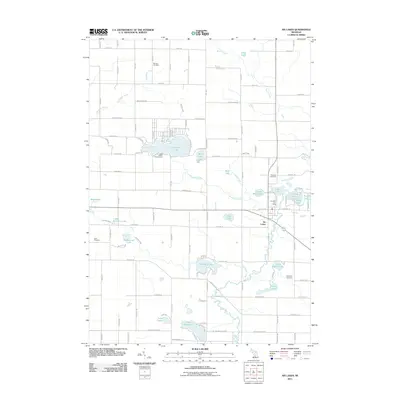 2011 Six Lakes2011 Print · USGSCovers Hinton Township, including Belvidere Township, Douglass Township, and other nearby areas
 - 2011 Map of Mecosta, 2011 Print
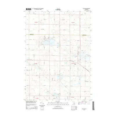
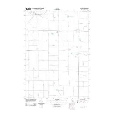 2011 Mecosta2011 Print · USGSCovers Hinton Township, including Remus, Mecosta, and other nearby areas
 - 2011 Map of Lakeview, 2011 Print
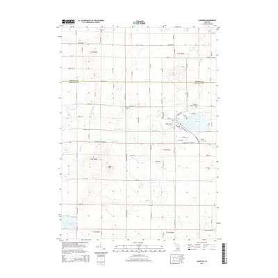
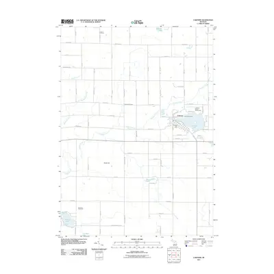 2011 Lakeview2011 Print · USGSCovers Hinton Township, including Lakeview, Winfield Township, and other nearby areas
 - 2011 Map of Altona, 2011 Print
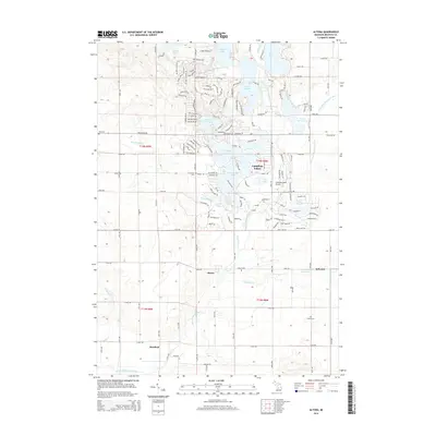
 2011 Altona2011 Print · USGSCovers Hinton Township, including Altona, Sylvester, and other nearby areas
 - 2014 Map of Six Lakes, 2014 Print
 2014 Six Lakes2014 Print · USGSCovers Hinton Township, including Belvidere Township, Douglass Township, and other nearby areas
 - 2014 Map of Lakeview, 2014 Print
 2014 Lakeview2014 Print · USGSCovers Hinton Township, including Lakeview, Winfield Township, and other nearby areas
 - 2014 Map of Altona, 2014 Print
 2014 Altona2014 Print · USGSCovers Hinton Township, including Altona, Sylvester, and other nearby areas
 - 2014 Map of Mecosta, 2014 Print
 2014 Mecosta2014 Print · USGSCovers Hinton Township, including Remus, Mecosta, and other nearby areas
Showing maps 1-25 of 37
Top cities near Hinton Township
- Big Rapids historical maps
- Howard City historical maps
- Stanton historical maps
- Remus historical maps
- Edmore historical maps
- Millbrook historical maps
See more
Top neighborhoods of Hinton Township
Frequently asked questions
- What are the different types of historical maps available for Hinton Township?
- What is the oldest map of Hinton Township?
- Where can I purchase historical maps of Hinton Township for my home or office?
- Where can I download high-res historical maps of Hinton Township?
- Are there historical topographic maps available for Hinton Township?
- Is there historical aerial imagery available for Hinton Township?
- Where are historical maps of Hinton Township sourced from?