Old Maps of Edenville Township, Michigan
Explore 31 old maps of Edenville Township, spanning from 1934 to today. These high-resolution historic maps reveal how streets, neighborhoods, landmarks, and natural features evolved over time — perfect for genealogy, metal detecting, research, and local history exploration.
What you can do with these maps:
- See how Edenville Township changed over time: Compare historical maps to modern-day views to trace roads, homesites, rail lines & more.
- View detailed metadata: Each map includes creators, publishers, year, scale, and archive source.
- Overlay maps with satellite & LiDAR: Visualize the past alongside modern tools to explore terrain & human change.
- Trusted historical sources: Maps sourced from the USGS, Library of Congress, and other archives.
- Access maps your way: View online, download high-res files, or order prints for personal or research use.
Start exploring old maps of Edenville Township to uncover forgotten places, hidden landmarks, and the deep history beneath your feet.
Edenville Township, MI maps
(31)- 1934 Map of Sanford, 1965 Print
 1934 Sanford1965 Print · USGSMidland County's river valleys and township lines are preserved here in the mid-thirties, showing the early infrastructure of the Tittabawassee basin. Researchers can trace rural school districts like St Elmo Sch and historic river crossings at Knight Landing.
 - 1936 Map of Sanford
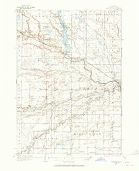
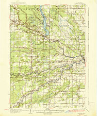 1936 Sanford1936 Print · USGSMidland County in the mid-1930s reveals a landscape of river-driven commerce and emerging conservation. Researchers can trace the Pere Marquette rail line or locate vanished local hubs like Dittmar, Dice, and Francis Grove.2 unique versions available
 - 1954 Map of Midland, 1967 Print
 1954 Midland1967 Print · USGSMid-Michigan at the peak of the post-war era shows a landscape balancing industrial growth in Midland with the deep timberlands of the Manistee National Forest. Researchers can trace the legacy of the timber and rail era along the Pennsylvania RR or find family roots in river towns like Chesaning and Big Rapids.4 unique versions available
 - 1958 Map of Midland
 1958 Midland1958 Print · USGSCentral Michigan in the late fifties is captured here during a period of transition for its university towns and industrial hubs. Genealogists and researchers can trace family lines through old rail-stop towns like Breckenridge and Chesaning or locate property near the Muskegon River and Prairie Farm.
 - 1959 Map of Midland
 1959 Midland1959 Print · USGSMid-century Michigan comes alive in this survey of the central Lower Peninsula, from the streets of Grand Rapids to the Houghton Lake timberlands. Genealogists and rail fans can trace the Ann Arbor RR and Chesapeake and Ohio RR through towns like Big Rapids and Mount Pleasant.
 - 1966 Map of Midland
 1966 Midland1966 Print · USGSCentral Michigan in the mid-1960s shows a landscape of growing manufacturing hubs and active resource extraction. Genealogists and historians can trace the rail corridors of the Grand Trunk Western or locate family-named landmarks near Oil wells and the Muskegon River.
 - 1969 Map of Hope, 1972 Print
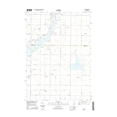
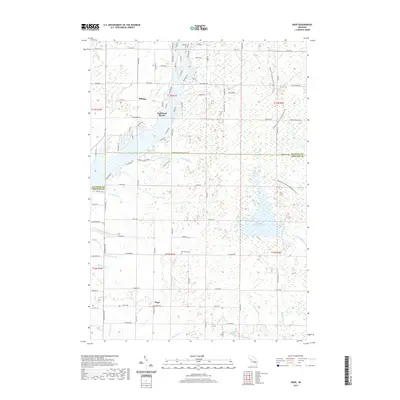
 1969 Hope1972 Print · USGSMidland County shoreline communities and inland farmsteads are documented here in the late sixties as lakeside development expanded. Researchers can trace family roots at New Hope Cem, locate the Hillside Sch, or follow the Old Railroad Grade through the woods.
 - 1969 Map of Edenville, 1972 Print
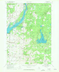
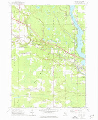
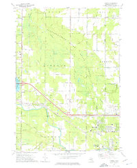
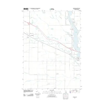
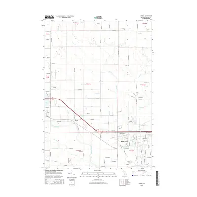
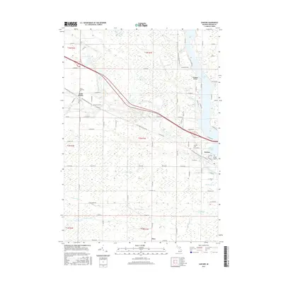
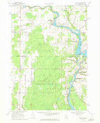 1969 Edenville1972 Print · USGSMid-Michigan lake country is defined by the convergence of two major rivers in the late 1960s. Researchers can trace the development of Edenville, find local landmarks like Robinson Airfield, and locate family sites near St Anne Ch.2 unique versions available
 - 1973 Map of Sanford, 1976 Print
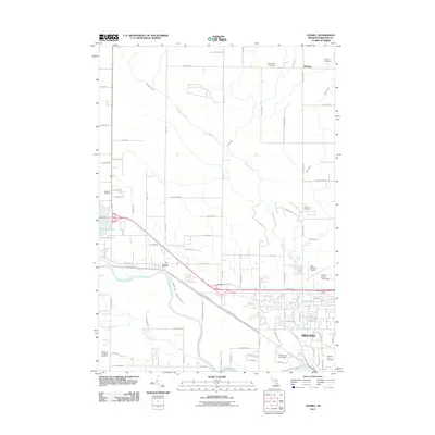
 1973 Sanford1976 Print · USGSMidland County's river valleys and oil fields are captured here in the early 1970s, as industry and recreation converge around the Sanford Lake reservoir. Researchers can trace historic family burial sites at Community Cem and Township Cem or follow the path of the Chesapeake and Ohio rail line.
 - 1973 Map of Averill, 1976 Print
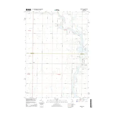
 1973 Averill1976 Print · USGSMid-century Midland County is shown during a period of expanding educational and aviation infrastructure. Researchers can trace the path of the Chesapeake and Ohio railroad through Averill or locate family sites at Bombay Cem and Larkin Cem.
 - 1984 Map of Midland, 1985 Print
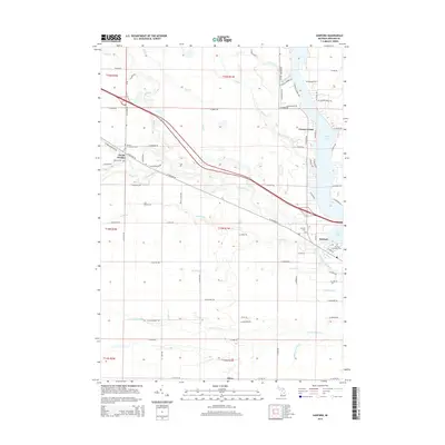
 1984 Midland1985 Print · USGSMid-Michigan's industrial and forest lands come into focus in the mid-eighties, centered on the growing hubs of Midland and Mount Pleasant. Genealogists and historians can trace the Chesapeake and Ohio rail corridor through small towns like Rosebush and Edenville.2 unique versions available
 - 2011 Map of Hope, 2011 Print
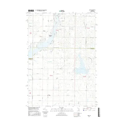
 2011 Hope2011 Print · USGSCovers Edenville Township, including Billings, Hope, and other nearby areas
 - 2011 Map of Edenville, 2011 Print
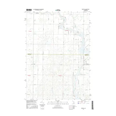
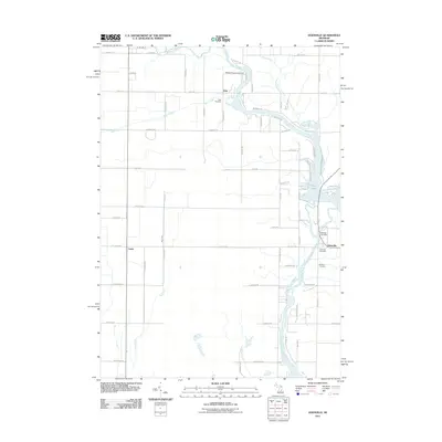 2011 Edenville2011 Print · USGSCovers Edenville Township, including Edenville, Beaverton, and other nearby areas
 - 2011 Map of Sanford, 2011 Print
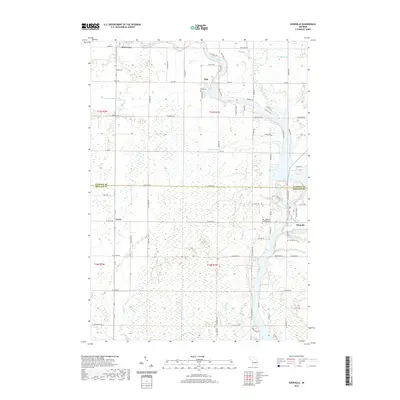
 2011 Sanford2011 Print · USGSCovers Edenville Township, including Sanford, Geneva Township, and other nearby areas
 - 2011 Map of Averill, 2011 Print
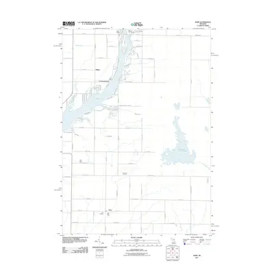
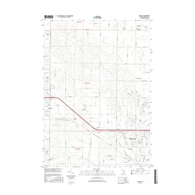
 2011 Averill2011 Print · USGSCovers Edenville Township, including Midland, Sanford, and other nearby areas
 - 2014 Map of Hope, 2014 Print
 2014 Hope2014 Print · USGSCovers Edenville Township, including Billings, Hope, and other nearby areas
 - 2014 Map of Sanford, 2014 Print
 2014 Sanford2014 Print · USGSCovers Edenville Township, including Sanford, Geneva Township, and other nearby areas
 - 2014 Map of Averill, 2014 Print
 2014 Averill2014 Print · USGSCovers Edenville Township, including Midland, Sanford, and other nearby areas
 - 2014 Map of Edenville, 2014 Print
 2014 Edenville2014 Print · USGSCovers Edenville Township, including Edenville, Beaverton, and other nearby areas
 - 2017 Map of Hope, 2017 Print
 2017 Hope2017 Print · USGSCovers Edenville Township, including Billings, Hope, and other nearby areas
 - 2017 Map of Averill, 2017 Print
 2017 Averill2017 Print · USGSCovers Edenville Township, including Midland, Sanford, and other nearby areas
 - 2017 Map of Sanford, 2017 Print
 2017 Sanford2017 Print · USGSCovers Edenville Township, including Sanford, Geneva Township, and other nearby areas
 - 2017 Map of Edenville, 2017 Print
 2017 Edenville2017 Print · USGSCovers Edenville Township, including Edenville, Beaverton, and other nearby areas
 - 2019 Map of Hope, 2019 Print
 2019 Hope2019 Print · USGSCovers Edenville Township, including Billings, Hope, and other nearby areas
 - 2019 Map of Edenville, 2019 Print
 2019 Edenville2019 Print · USGSCovers Edenville Township, including Edenville, Beaverton, and other nearby areas
Showing maps 1-25 of 31
Top cities near Edenville Township
- Midland historical maps
- Gladwin historical maps
- Billings historical maps
- Edenville historical maps
- Wise historical maps
- Hope historical maps
See more
Top neighborhoods of Edenville Township
Frequently asked questions
- What are the different types of historical maps available for Edenville Township?
- What is the oldest map of Edenville Township?
- Where can I purchase historical maps of Edenville Township for my home or office?
- Where can I download high-res historical maps of Edenville Township?
- Are there historical topographic maps available for Edenville Township?
- Is there historical aerial imagery available for Edenville Township?
- Where are historical maps of Edenville Township sourced from?