Loading...
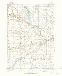
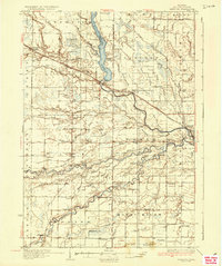
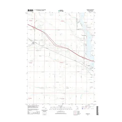
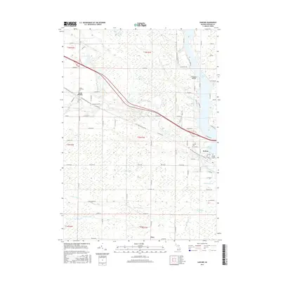
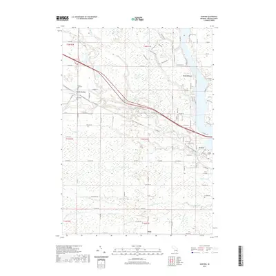
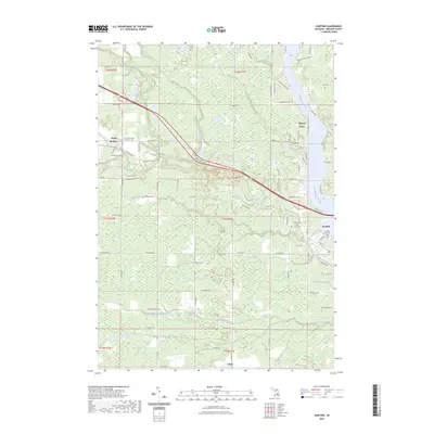
Loading map...1934 Map of Sanford
USGS Topo · Published 1965About this map
The Tittabawassee River and its major tributaries, including the Salt River and Chippewa River, dominate this mid-Michigan landscape surveyed in 1934. The town of Sanford sits at a geographic pivot point where the river widens into Sanford Lake, flanked by the Sanford Wild Life Refuge. This era captures a transition in transportation, showing the Pere Marquette railroad line alongside developing motor routes like U S Highway 10.
Find a feature on this map
103 named features on this map. Tap any name to fly to it.
Don’t see what you’re looking for? This feature index may not catch every label — zoom into the map to look around manually.
Map Details
Date Portrayed1934
Date Published1965
PublisherU.S. Geological Survey
Map TypeTopographic
Scale1:62,500
Physical Dimensions17 x 20.8 inches
Editions of this 1934 Sanford Map
This is the sole edition of this map. No revisions or reprints were ever made.
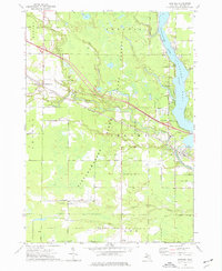
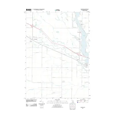
Historical Maps of Midland Through Time
8 maps found
Featured Locations
Source Details
SourceU.S. Geological Survey
CopyrightPublic Domain