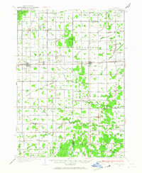
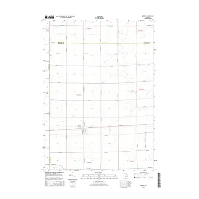
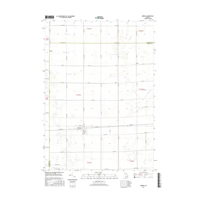
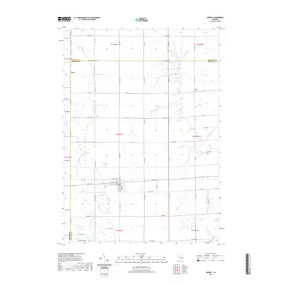
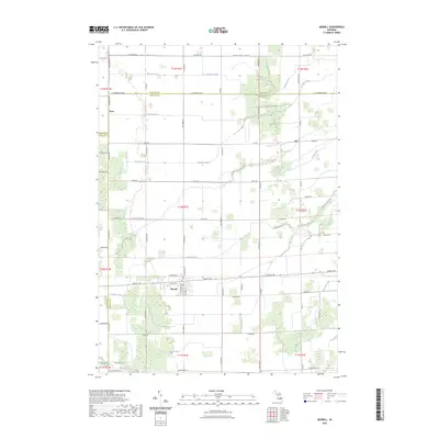
1934 Map of Merrill
USGS Topo · Published 1987About this map
Agricultural development across the Gratiot and Saginaw County line is defined by a dense network of drainage canals and small-town junctions in the 1930s. The Pere Marquette railroad serves as the primary east-west corridor, connecting the settlements of Breckenridge, Wheeler, and Merrill. This area is exceptionally rich in early 20th-century educational history, featuring dozens of named country schools like Cozy Corner Sch, Sunnylawn Sch, and Northup Sch scattered throughout the townships of Jonesfield, Lakefield, and Wheeler.
Find a feature on this map
90 named features on this map. Tap any name to fly to it.
Don’t see what you’re looking for? This feature index may not catch every label — zoom into the map to look around manually.
Map Details
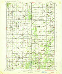
Editions of this 1934 Merrill Map
This is the sole edition of this map. No revisions or reprints were ever made.
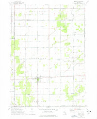
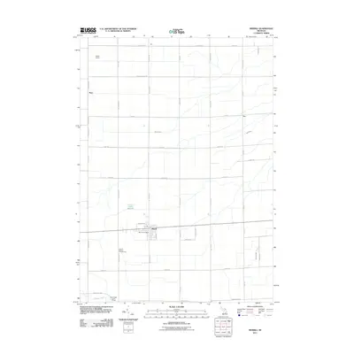
Historical Maps of Wheeler Through Time
8 maps found
Featured Locations
- Lafayette Township, MI
- Breckenridge, Wheeler Township
- Wheeler, Wheeler Township
- Lakefield, Lakefield Township
- Merrill, Jonesfield Township