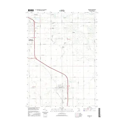
1930 Map of Shepherd
USGS Topo · Published 1930About this map
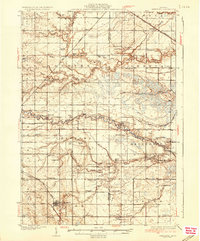
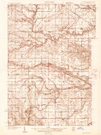
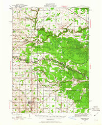
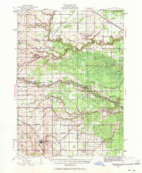
Shepherd and the surrounding townships of Coe and Chippewa are captured here during a period of intensive subterranean development, as evidenced by the dense cluster of oil wells and tanks surrounding Oil City. The map documents a landscape defined by small rural school districts and family-named landmarks, reflecting the agricultural and early industrial fabric of central Michigan. To the north and west, the Pere Marquette RR and the Ann Arbor RR provide the primary transit corridors, carving through the drainages of the Chippewa River and the Little Salt River. Local social life is anchored by numerous country schools like McNelly Sch and Alembic Sch, alongside small congregations at Bethel Ch and Geneva-Hope Ch. The detailed survey of salt wells and pipe lines indicates the significant role of the mineral and energy sectors in the local economy of Isabella and Midland counties.
Find a feature on this map
71 named features on this map. Tap any name to fly to it.
Don’t see what you’re looking for? This feature index may not catch every label — zoom into the map to look around manually.
Map Details
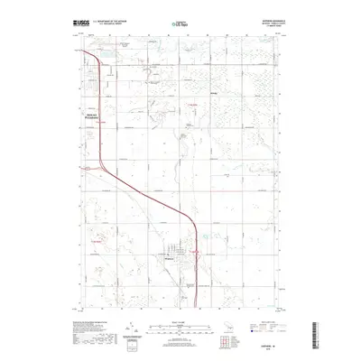
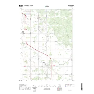
Editions of this 1930 Shepherd Map
3 editions found
Historical Maps of Mount Pleasant Through Time
8 maps found