Loading...
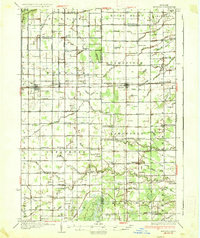
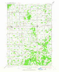
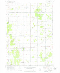
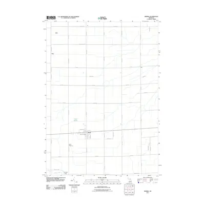
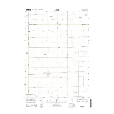
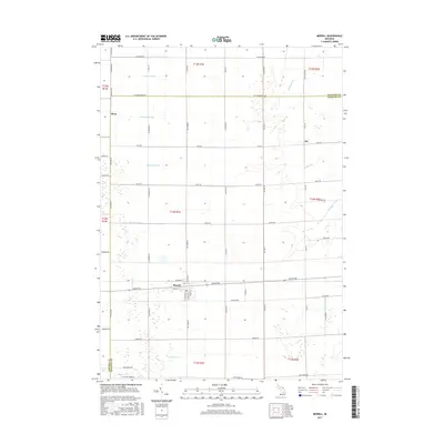
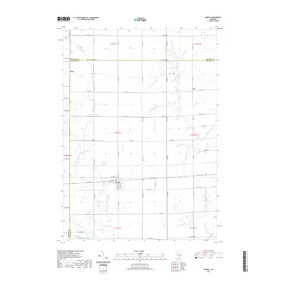
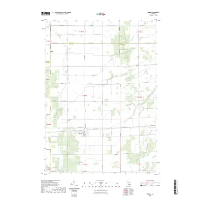
Loading map...1937 Map of Merrill
USGS Topo · Published 1937About this map
Merrill and Breckenridge anchor this mid-1930s survey of the agricultural borderlands between Saginaw and Gratiot Counties. The landscape is defined by an intensive network of drainage ditches and creeks, such as Bullock Creek, Weeks Drain, and Swan Creek, which were essential for the development of the region's productive farmland. The Pere Marquette railroad runs east-west through the center, connecting Wheeler and Merrill to larger markets.
Find a feature on this map
92 named features on this map. Tap any name to fly to it.
Don’t see what you’re looking for? This feature index may not catch every label — zoom into the map to look around manually.
Map Details
Date Portrayed1937
Date Published1937
PublisherU.S. Geological Survey
Map TypeTopographic
Scale1:62,500
Physical Dimensions16.5 x 19.7 inches
Editions of this 1937 Merrill Map
This is the sole edition of this map. No revisions or reprints were ever made.
Historical Maps of Wheeler Through Time
8 maps found
Featured Locations
- Lafayette Township, MI
- Breckenridge, Wheeler Township
- Wheeler, Wheeler Township
- Lakefield, Lakefield Township
- Merrill, Jonesfield Township
Source Details
SourceU.S. Geological Survey
CopyrightPublic Domain