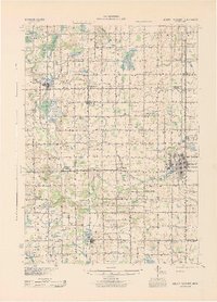
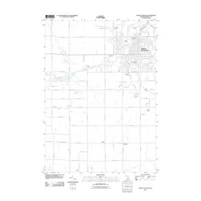
1943 Map of Mount Pleasant
USGS Topo · Published 1943About this map
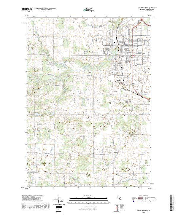
The Chippewa and Coldwater River systems anchor this Isabella County landscape during the early 1940s, a time when rural education was still defined by dozens of small township schoolhouses. Settlements like Beal City, Weidman, and Rosebush serve as local hubs, while Mt Pleasant shows significant development along the Pere Marquette railroad line. A notable cultural landmark is the U S Indian Industrial Sch located just north of the city center.
Find a feature on this map
101 named features on this map. Tap any name to fly to it.
Don’t see what you’re looking for? This feature index may not catch every label — zoom into the map to look around manually.
Map Details
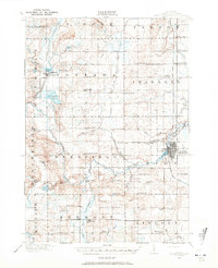
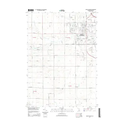
Editions of this 1943 Mount Pleasant Map
This is the sole edition of this map. No revisions or reprints were ever made.
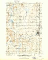
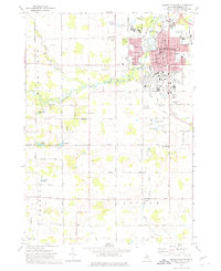
Historical Maps of Mount Pleasant Through Time
9 maps found
1916 Mount Pleasant
Isabella County, MI
1919 Mount Pleasant
Isabella County, MI
1943 Mount Pleasant
Isabella County, MI
1973 Mount Pleasant
Isabella County, MI
2011 Mount Pleasant
Isabella County, MI
2014 Mount Pleasant
Isabella County, MI
2017 Mount Pleasant
Isabella County, MI
2019 Mount Pleasant
Isabella County, MI
2023 Mount Pleasant
Isabella County, MI
Featured Locations
- Deerfield Township, MI
- Lake Isabella, MI
- Lincoln Township, MI
- Mount Pleasant, MI
- Rosebush, Isabella Township