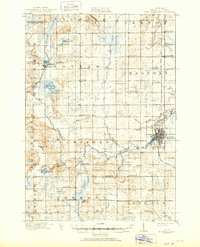
1919 Map of Mount Pleasant
USGS Topo · Published 1951About this map
The Chippewa River and its numerous tributaries, including Hogg Creek and the North Branch Chippewa River, dominate the central Isabella County landscape. This era of settlement is defined by a dense network of local institutions, evidenced by the dozens of district schools such as Little Brick School, Pony Creek School, and Whiteville School. A significant landmark of the period is the U.S. Indian Industrial School located on the northern outskirts of Mount Pleasant, alongside the Indian Church.
Find a feature on this map
85 named features on this map. Tap any name to fly to it.
Don’t see what you’re looking for? This feature index may not catch every label — zoom into the map to look around manually.
Map Details
Editions of this 1919 Mount Pleasant Map
2 editions found
Other maps of this area

1916 · Mount Pleasant
USGS Topo · 1:62,500

1919 · Mount Pleasant
USGS Topo · 1:62,500

1930 · Shepherd
USGS Topo · 1:48,000

1935 · Alma
USGS Topo · 1:62,500

1936 · Shepherd
USGS Topo · 1:62,500

1938 · Alma
USGS Topo · 1:62,500

1943 · Mount Pleasant
USGS Topo · 1:62,500

1954 · Midland
USGS Topo · 1:250,000

1958 · Midland
USGS Topo · 1:250,000

1959 · Midland
USGS Topo · 1:250,000