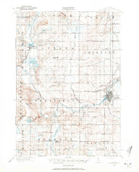
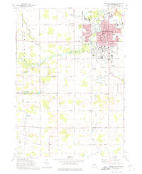
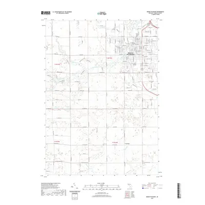
1916 Map of Mount Pleasant
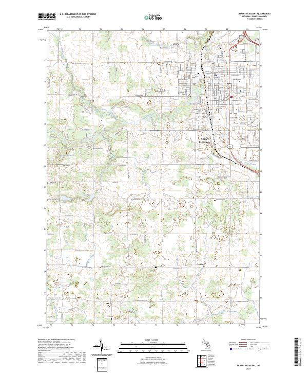
USGS Topo · Published 1972About this map
Mount Pleasant serves as the focal point of this Isabella County survey, situated at the confluence of the Chippewa River and Mission Creek. The landscape of the early twentieth century is meticulously documented, featuring a high density of rural schoolhouses and neighborhood gathering places such as Gleaner Hall. To the north of the city, the U S Indian Industrial School stands as a significant institutional landmark of the era.
Find a feature on this map
89 named features on this map. Tap any name to fly to it.
Don’t see what you’re looking for? This feature index may not catch every label — zoom into the map to look around manually.
Map Details
Editions of this 1916 Mount Pleasant Map
2 editions found
Historical Maps of Mount Pleasant Through Time
9 maps found
1916 Mount Pleasant
Isabella County, MI
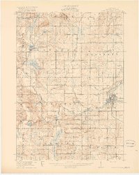
1919 Mount Pleasant
Isabella County, MI
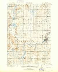
1943 Mount Pleasant
Isabella County, MI
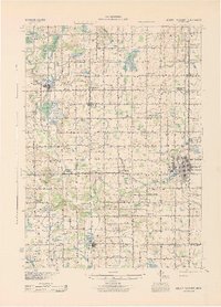
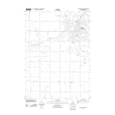
1973 Mount Pleasant
Isabella County, MI
2011 Mount Pleasant
Isabella County, MI
2014 Mount Pleasant
Isabella County, MI
2017 Mount Pleasant
Isabella County, MI
2019 Mount Pleasant
Isabella County, MI
2023 Mount Pleasant
Isabella County, MI
Featured Locations
- Deerfield Township, MI
- Lake Isabella, MI
- Lincoln Township, MI
- Mount Pleasant, MI
- Rosebush, Isabella Township