2000s (21st Century) Maps of Midland, Michigan
Explore 20 historic maps of Midland from the 2000s (21st Century). These maps offer a rare glimpse into what life looked like during the 2000s — showing old roads, neighborhoods, homes, and landmarks that have changed or disappeared over time.
Whether you're researching your family's past, planning a metal detecting trip, or studying how Midland's landscape evolved across the 2000s, these high-resolution maps are a powerful tool for exploring the history of this region.
- Focus on a specific era: All maps on this page are from the 2000s, giving you a focused view of this time period.
- See what’s changed: Compare century-old streets, trails, and buildings to today's modern landscape using overlays and satellite layers.
- Research with precision: Use these maps for genealogy, historical research, land use analysis, or educational projects.
- View, download, or print: Maps are fully viewable online in high resolution, and can be downloaded or printed for your own records.
Start exploring Midland's history through authentic maps from the 2000s. This is your window into the past.
Midland, MI maps
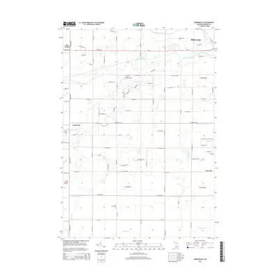
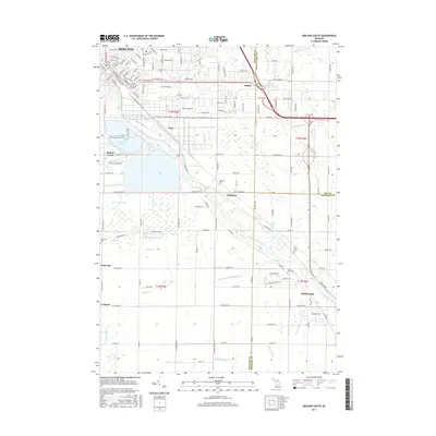
(20)- 2011 Map of Gordonville, 2011 Print
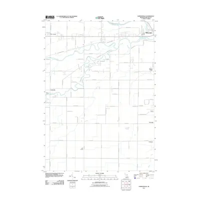 2011 Gordonville2011 Print · USGSCovers Midland, including Mount Haley Township, Midland Charter Township, and other nearby areas
 - 2011 Map of Midland South, 2011 Print
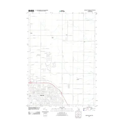
 2011 Midland South2011 Print · USGSCovers Midland, including Midland Charter Township, Poseyville, and other nearby areas
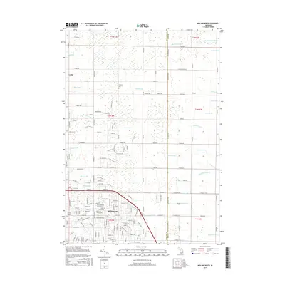
 - 2011 Map of Midland North, 2011 Print
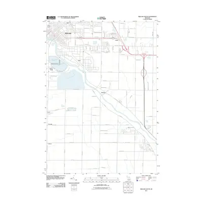
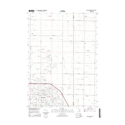
 2011 Midland North2011 Print · USGSCovers Midland, including Mills Township, Midland Charter Township, and other nearby areas
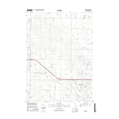
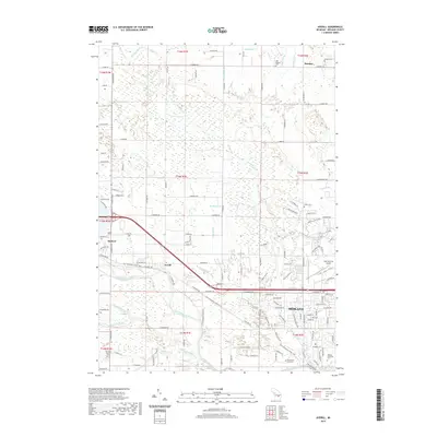
 - 2011 Map of Averill, 2011 Print
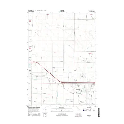
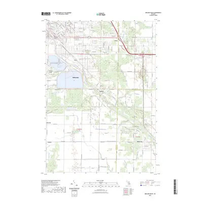
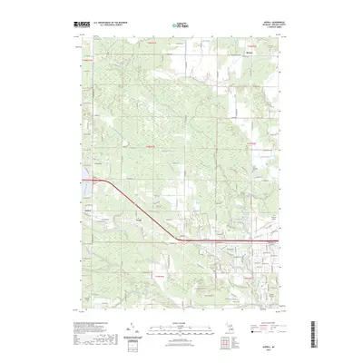
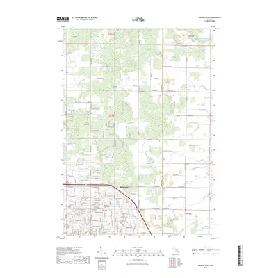
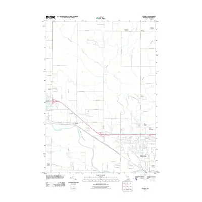 2011 Averill2011 Print · USGSCovers Midland, including Sanford, Edenville Township, and other nearby areas
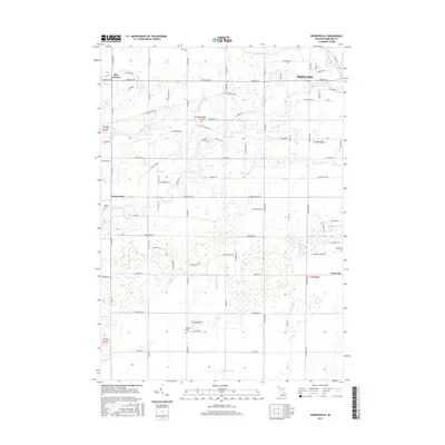
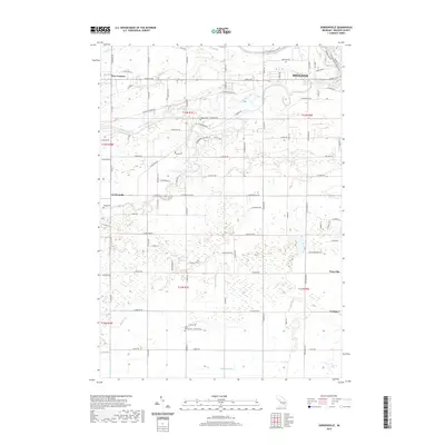
 - 2014 Map of Gordonville, 2014 Print
 2014 Gordonville2014 Print · USGSCovers Midland, including Mount Haley Township, Midland Charter Township, and other nearby areas
 - 2014 Map of Averill, 2014 Print
 2014 Averill2014 Print · USGSCovers Midland, including Sanford, Edenville Township, and other nearby areas
 - 2014 Map of Midland North, 2014 Print
 2014 Midland North2014 Print · USGSCovers Midland, including Mills Township, Midland Charter Township, and other nearby areas
 - 2014 Map of Midland South, 2014 Print
 2014 Midland South2014 Print · USGSCovers Midland, including Midland Charter Township, Poseyville, and other nearby areas
 - 2017 Map of Midland South, 2017 Print
 2017 Midland South2017 Print · USGSCovers Midland, including Midland Charter Township, Poseyville, and other nearby areas
 - 2017 Map of Gordonville, 2017 Print
 2017 Gordonville2017 Print · USGSCovers Midland, including Mount Haley Township, Midland Charter Township, and other nearby areas
 - 2017 Map of Averill, 2017 Print
 2017 Averill2017 Print · USGSCovers Midland, including Sanford, Edenville Township, and other nearby areas
 - 2017 Map of Midland North, 2017 Print
 2017 Midland North2017 Print · USGSCovers Midland, including Mills Township, Midland Charter Township, and other nearby areas
 - 2019 Map of Midland North, 2019 Print
 2019 Midland North2019 Print · USGSCovers Midland, including Mills Township, Midland Charter Township, and other nearby areas
 - 2019 Map of Gordonville, 2019 Print
 2019 Gordonville2019 Print · USGSCovers Midland, including Mount Haley Township, Midland Charter Township, and other nearby areas
 - 2019 Map of Averill, 2019 Print
 2019 Averill2019 Print · USGSCovers Midland, including Sanford, Edenville Township, and other nearby areas
 - 2019 Map of Midland South, 2019 Print
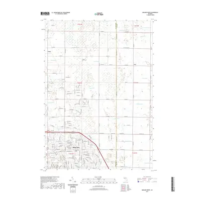
 2019 Midland South2019 Print · USGSCovers Midland, including Midland Charter Township, Poseyville, and other nearby areas
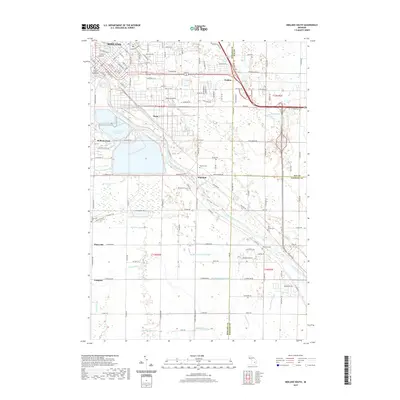
 - 2023 Map of Midland South, 2023 Print
 2023 Midland South2023 Print · USGSThe Tittabawassee River valley comes into focus during this contemporary survey of the Midland and Freeland areas. Genealogists can trace family heritage through the Arrance Family Cem and West Side Cem or locate old community hubs like Poseyville and Mapleton.
 - 2023 Map of Averill, 2023 Print
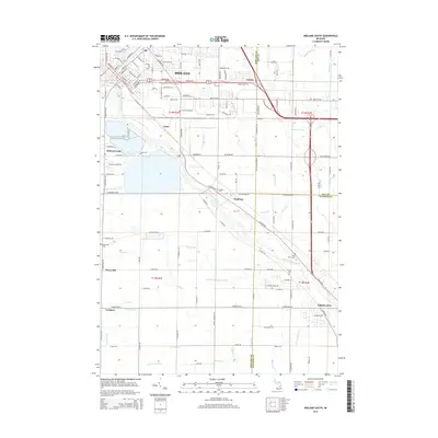
 2023 Averill2023 Print · USGSMidland County's river-fed landscapes are captured here in the early twenty-first century, showing the development around the Tittabawassee River. Researchers can trace the grounds of Northwood University, find the The Old Amish Cem, or locate the historic settlement of Averill.
 - 2023 Map of Midland North, 2023 Print
 2023 Midland North2023 Print · USGSThe northern reaches of Midland and the rural townships of Larkin and Duel are documented in the early 2020s. Trace local family history at Old Calvary Cem - Midland or follow the complex drainage networks of Waldo Drain and Snake Creek.
 - 2023 Map of Gordonville, 2023 Print
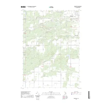 2023 Gordonville2023 Print · USGSMidland and its southwestern outskirts are documented in this recent survey of the river-crossed interior of Midland County. Researchers can trace family history at the Homer Township Cem or follow the paths of the Chippewa River and Bullock Creek.
End of results
Showing maps 1-20 of 20
Top cities near Midland
- Wheeler historical maps
- Beaver historical maps
- Edenville historical maps
- Auburn historical maps
- Hemlock historical maps
- Hope historical maps
See more
Top neighborhoods of Midland
- Mapleton historical maps
- Dean historical maps
- Golden historical maps
- Center City historical maps
- Downtown historical maps
Frequently asked questions
- What are the different types of historical maps available for Midland?
- What is the oldest map of Midland?
- Where can I purchase historical maps of Midland for my home or office?
- Where can I download high-res historical maps of Midland?
- Are there historical topographic maps available for Midland?
- Is there historical aerial imagery available for Midland?
- Where are historical maps of Midland sourced from?